Long Ditton / Ditone / Ditune
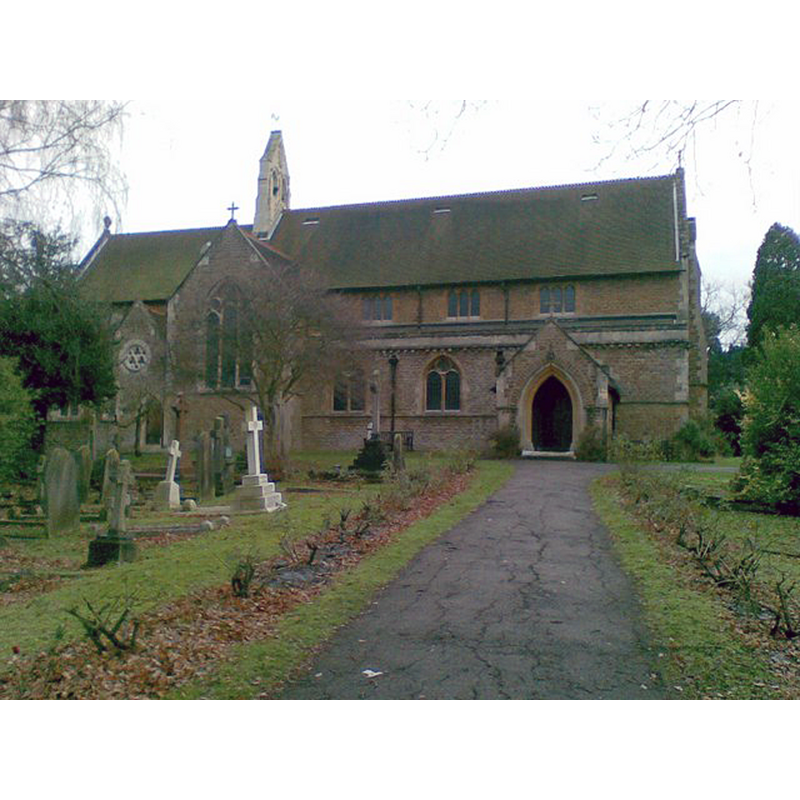
Image copyright © James Inge, 2007
CC-BY-SA-2.0
Results: 1 records
view of church exterior
Scene Description: Source caption: "St Mary's Church, Long Ditton. This current church building was designed in the nineteenth century by George Edmund Street, although there has been a church here since Anglo-Saxon times."
Copyright Statement: Image copyright © James Inge, 2007
Image Source: digital photograph taken 26 December 2007 by James Inge [www.geograph.org.uk/photo/642323] [accessed 21 December 2015]
Copyright Instructions: CC-BY-SA-2.0
INFORMATION
Font ID: 16871LON
Object Type: Baptismal Font1?
Font Century and Period/Style: 11th century, Pre-Conquest? / Norman
Church / Chapel Name: Parish Church of St. Mary
Church Patron Saint(s): St. Mary the Virgin
Church Notes: early church noted in Domesday survey; present church is 19thC by G.E. Street
Church Address: Church Road, Long Ditton, Surrey, KT6 5HJ
Site Location: Surrey, South East, England, United Kingdom
Directions to Site: Located near Ditton-on-Thames, 2 km S of Kingston-on-Thames, near the border with Greater London
Ecclesiastic Region: Diocese of Guildford
Historical Region: Hundred of Kingston
Additional Comments: disappeared fonts? (the one from the Domesday-time church, and the 18th-century font noted in Brayley [cf. FontNotes])
Font Notes:
Click to view
There is an entry for [Long] Ditton [variant spelling] in the Domesday survey [http://opendomesday.org/place/TQ1766/long-ditton/] [accessed 21 December 2015]; it mentions a church in it. Brayley (1850) writes that the church of Long Ditton was "erected upon the site of the old fabric (noticed in the Domesday book), about the year 1776"; inside this church Brayley reports "an octagonal font, of freestone", probably of the date of the new church. The Victoria County History (Surrey, vol. 3, 1911) notes: "The church [...] was erected in 1878–80 some distance to the north of a former building on a neighbouring site; the foundations of this are still visible, and some portions of its chancel walls still stand. It was of a small Greek-cross plan and built of brick in the place of the ancient building, which dated partly from the 12th century and which had fallen into a bad state of decay. Nothing remains to show the size and appearance of the ancient church [...] The pulpit is of stone, the font of green and white marble." [NB: we have no information on the font(s) from the medieval church]
COORDINATES
UTM: 30U 686743 5695547
Latitude & Longitude (Decimal): 51.380409, -0.316475
Latitude & Longitude (DMS): 51° 22′ 49.47″ N, 0° 18′ 59.31″ W
REFERENCES
- Victoria County History [online], University of London, 1993-. URL: https://www.british-history.ac.uk.
- Brayley, Edward Wedlake, A topographical history of Surrey, London: G. Willis, 1850, vol. 3: 138