Addington / Adinton / Eddintone / Edintone
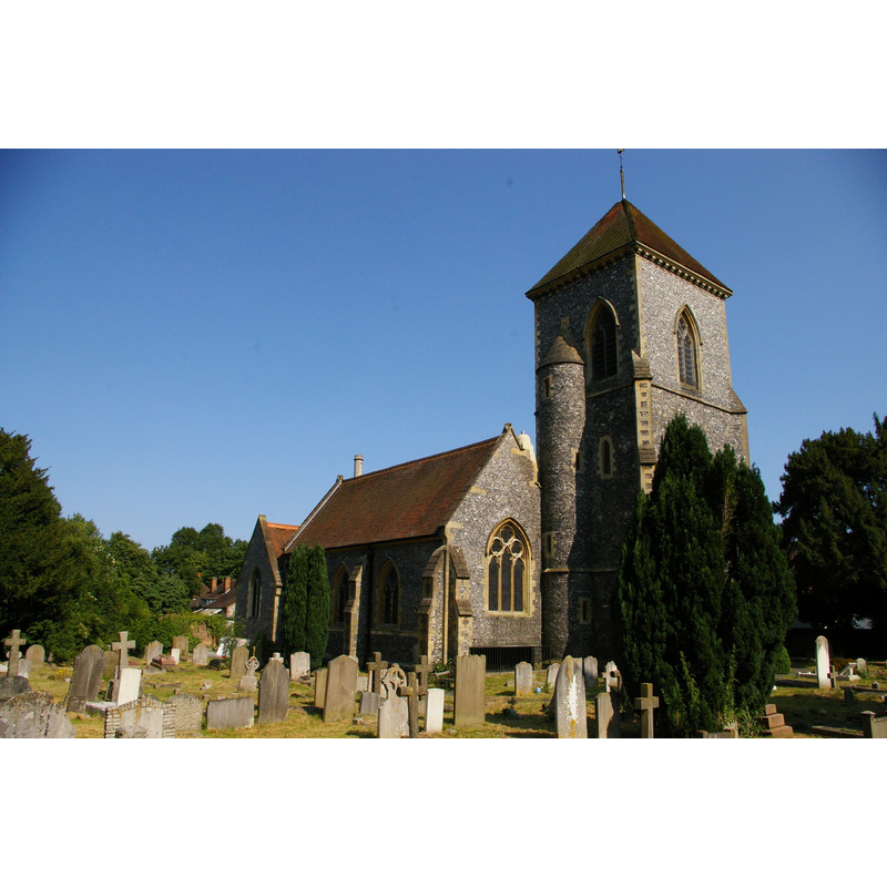
Image copyright © Christopher Hilton, 2013
CC-BY-SA-2.0
Results: 1 records
view of church exterior - northwest view
Scene Description: Source caption: "Addington: church of St Mary the Virgin. The Archbishops of Canterbury had a palace at Addington (replacing that in Croydon town centre, which was long a base for them in the London area); various archbishops are buried or otherwise commemorated at this little church.
Copyright Statement: Image copyright © Christopher Hilton, 2013
Image Source: digital photograph taken 15 July 2013 by Christopher Hilton [www.geograph.org.uk/photo/3551969] [accessed 6 January 2015]
Copyright Instructions: CC-BY-SA-2.0
INFORMATION
Font ID: 16833ADD
Object Type: Baptismal Font1?
Font Century and Period/Style: 11th century, Pre-Conquest
Church / Chapel Name: Parish Church of St. Mary the Blessed Virgin
Church Patron Saint(s): St. Mary the Virgin
Church Address: Addington Village Rd, Croydon, Surrey CR0 5AS, United Kingdom -- Tel.: +44 1689 842167
Site Location: Surrey, South East, England, United Kingdom
Directions to Site: Located 5 km ESE of Croydon
Ecclesiastic Region: Diocese of Guildford
Historical Region: Hundred of Wallington [in Domesday]
Additional Comments: disappeared font? (the one from the pre-Conquest church here?)
Font Notes:
Click to view
There are two entries for this Addington [variant spelling] in the Domesday survey [http://opendomesday.org/place/TQ3863/addington/] [accessed 6 January 2016], neither of which mentions cleric or church in it. Brayley (1850) notes: "Although not mentioned in the Domesday survey, it is supposed that there was a church at Addington previously to the Conquest [...] In the summer of 1843, Addington church was thoroughly repaired -it may almost be said renovated- internally and externally [...] there is a new stone font." The Victoria County History (Surrey, vol. 4, 1912) notes: "The church of Addington, with the chapel of All Saints, was given to St. Mary Overy by Bartholomew de Chesney [i.e., 1120-1176] [...] The church has suffered much from additions and restorations. Externally, with the exception of the south and east walls of the chancel, all that is visible is modern of various dates. The chancel and nave were originally built about 1080"; the VCH entry reports a modern font here. [NB: we have no information on the medieval font]
COORDINATES
UTM: 30U 706564 5693797
Latitude & Longitude (Decimal): 51.357828, -0.033057
Latitude & Longitude (DMS): 51° 21′ 28.18″ N, 0° 1′ 59″ W
REFERENCES
- Victoria County History [online], University of London, 1993-. URL: https://www.british-history.ac.uk.
- Brayley, Edward Wedlake, A topographical history of Surrey, London: G. Willis, 1850, vol. 4: 30