Haslemere / Haselmere / Hasulmore
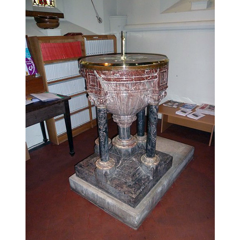
Image copyright © Basher Eyre, 2012
CC-BY-SA-2.0
Results: 3 records
view of font and cover
Scene Description: the modern font
Copyright Statement: Image copyright © Basher Eyre, 2012
Image Source: digital photograph taken 16 June 2012 by Basher Eyre [www.geograph.org.uk/photo/2998489] [accessed 13 December 2015]
Copyright Instructions: CC-BY-SA-2.0
view of church exterior
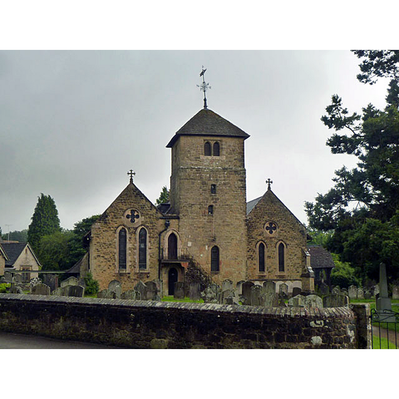
Scene Description: Source caption: "St Bartholomew's, Haslemere. Viewed from the small cemetery across Derby Road from the church."
Copyright Statement: Image copyright © Robin Webster, 2012
Image Source: digital photograph taken 14 July 2012 by Robin Webster [www.geograph.org.uk/photo/3038382] [accessed 13 December 2015]
Copyright Instructions: CC-BY-SA-2.0
view of church interior - nave - looking northeast
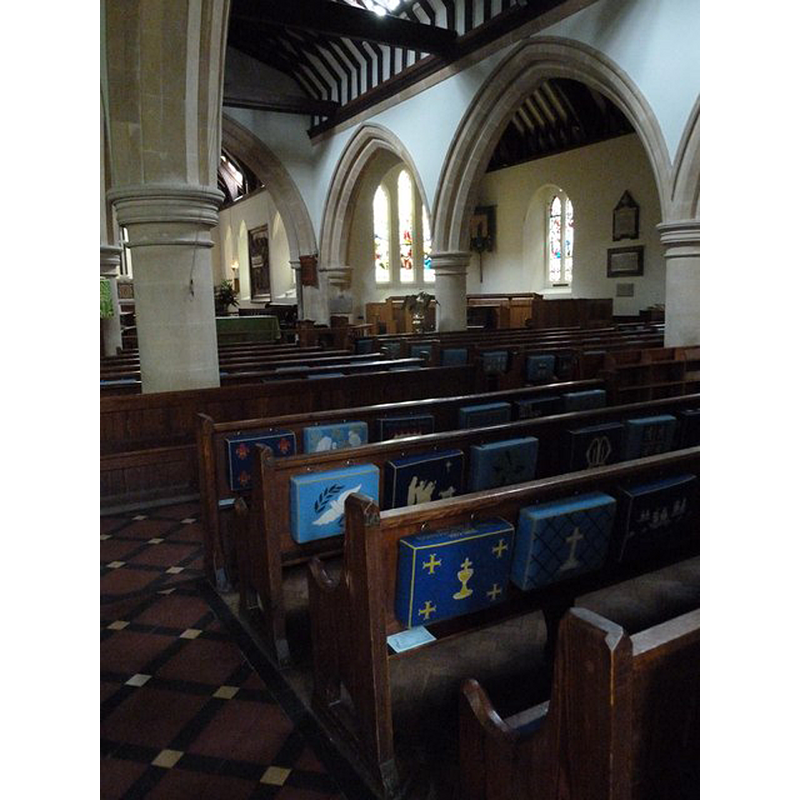
Copyright Statement: Image copyright © Basher Eyre, 2012
Image Source: digital photograph taken 16 June 2012 by Basher Eyre [www.geograph.org.uk/photo/2998627] [accessed 13 December 2015]
Copyright Instructions: CC-BY-SA-2.0
INFORMATION
Font ID: 16830HAS
Object Type: Baptismal Font1
Font Century and Period/Style: Medieval
Church / Chapel Name: Parish Church of St. Bartholomew
Font Location in Church: Inside the church before 1850 [cf. FontNotes]
Church Patron Saint(s): St. Bartholomew
Church Address: Tanners Lane, Haslemere, Surrey GU27 1BD
Site Location: Surrey, South East, England, United Kingdom
Directions to Site: Located 15 km SW of Godalming
Ecclesiastic Region: Diocese of Guildford
Historical Region: Hundred of Godalming
Additional Comments: disappeared font?
Font Notes:
Click to view
No entry found for Haslemere in the Domesday survey. Brayley (1850) writes: "The font is a large circular basin for immersion, standing on an octagonal column." This description clashes with the one in the Victoria County History (Surrey, vol. 3, 1911): "The church was originally only a chapel-of-ease to Chiddingfold [...] The font is a large octagonal stone supported on a pillar corresponding with it." The explanation is given in the local website [www.haslemere.com/leisure/stbarts.html] [accessed 4 August 2010]: "For thirty three years, the Font was a hollowed, large octagonal stone block which was replaced in 1870 by the present marble and granite one", which means that at the time of Brayley's visit the old font could have still been in use, to be replaced soon thereafter by an octagonal stone one, and in 1870, again, by the present one. [NB: the original building goes back at least to the 13th century]
COORDINATES
UTM: 30U 660223 5662616
Latitude & Longitude (Decimal): 51.092632, -0.711941
Latitude & Longitude (DMS): 51° 5′ 33.47″ N, 0° 42′ 42.99″ W
MEDIUM AND MEASUREMENTS
Material: stone
Font Shape: round, mounted
Basin Interior Shape: round
Basin Exterior Shape: round
REFERENCES
- Victoria County History [online], University of London, 1993-. URL: https://www.british-history.ac.uk.
- Brayley, Edward Wedlake, A topographical history of Surrey, London: G. Willis, 1850, vol. 5: 250