Lexden / Læxadyne / Lassendene / Lessendena Lessendon / Lexsendena
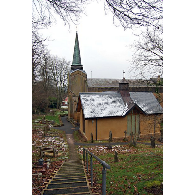
Image copyright © John Myers, 2013
CC-BY-SA-2.0
Results: 2 records
view of church exterior in context - southwest view
Copyright Statement: Image copyright © John Myers, 2013
Image Source: digital photograph taken 12 February 2013 by John Myers [www.geograph.org.uk/photo/3329854] [accessed 12 June 2018]
Copyright Instructions: CC-BY-SA-2.0
view of church exterior in context - north view
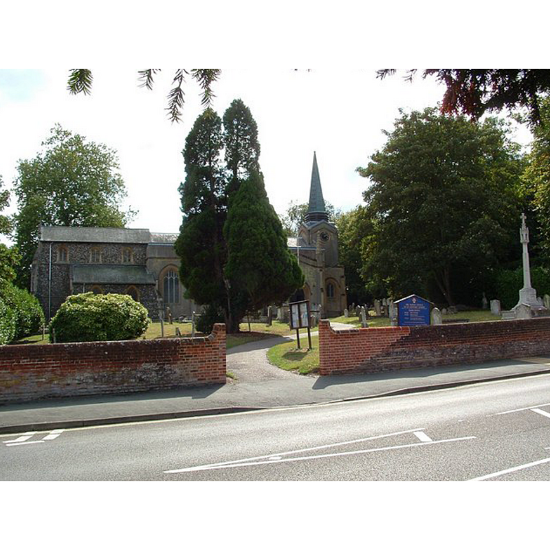
Copyright Statement: Image copyright © Paul Shreeve, 2009
Image Source: digital photograph taken 16 September 2009 by Paul Shreeve [www.geograph.org.uk/photo/1502143] [accessed 12 June 2019]
Copyright Instructions: CC-BY-SA-2.0
INFORMATION
Font ID: 16786LEX
Object Type: Baptismal Font1?
Font Century and Period/Style: 12th century (early?), Norman
Church / Chapel Name: Old Parish Church of St. Leonard [demolished 1820]
Font Location in Church: [cf. FontNotes]
Church Patron Saint(s): St. Leonard
Church Address: 112 Lexden Rd, Colchester CO3 4BL, UK -- Tel.: +44 1206 575565
Site Location: Essex, East, England, United Kingdom
Directions to Site: Located off (S) the A1124 [aka Lexden Rd.] near, and now a western suburb of, Colchester
Ecclesiastic Region: Diocese of Chelmsford
Historical Region: Hunded of Lexden
Additional Comments: disappeared font? (the one from the early-12thC church here demolished 1820)
Font Notes:
Click to view
There are two entries for Lexden [variant spellings] in gthe Domesday survey [http://opendomesday.org/place/TL9725/lexden/] [accessed 12 June 2018], neither of which mentions priest of church in it. The entry for this parish in the Victoria County History (Essex, vol. 9, 1994) notes: "St. Leonard's church was established by the early 12th century [...] The medieval church of St. Leonard, which was demolished in 1820, stood on the south side of Lexden Street [...] The church and bellcot were in ruins in 1600 and, although some work was done, the church was still decayed in 1607 [...] A new church was completed in 1822"; there is no mention of a font in this entry. The entry for this church in Historic England [Listing No. 117073] notes a "very plain" font of the 1820-1821 re-building of the medieval church.
COORDINATES
UTM: 31U 352983 5750919
Latitude & Longitude (Decimal): 51.88962, 0.8636
Latitude & Longitude (DMS): 51° 53′ 22.63″ N, 0° 51′ 48.96″ E
REFERENCES
- Victoria County History [online], University of London, 1993-. URL: https://www.british-history.ac.uk.