High Ongar
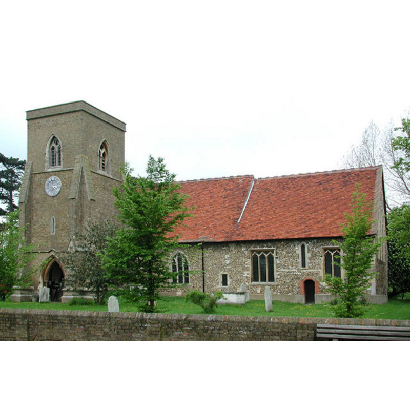
Image copyright © John Salmon, 2004
CC-BY-SA-3.0
Results: 3 records
view of church exterior - south view
Copyright Statement: Image copyright © John Salmon, 2004
Image Source: digital photograph taken 8 May 2004 by John Salmon [www.geograph.org.uk/photo/334905] [accessed 26 March 2012]
Copyright Instructions: CC-BY-SA-3.0
view of church interior - nave - looking west
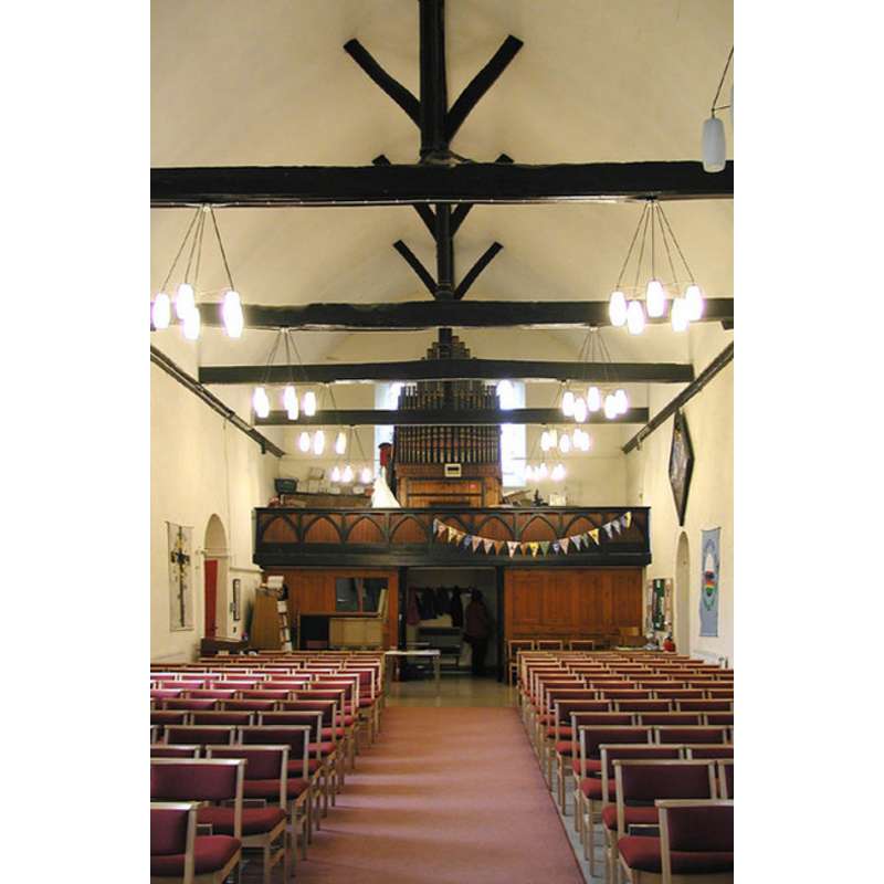
Scene Description: the top of the modern font is visble at the far (west) end, by the south entrance, behind the left (south) bank of chairs
Copyright Statement: Image copyright © John Salmon, 2004
Image Source: digital photograph taken 8 May 2004 by John Salmon [www.geograph.org.uk/photo/334911] [accessed 26 March 2012]
Copyright Instructions: CC-BY-SA-3.0
view of church interior - nave - looking east
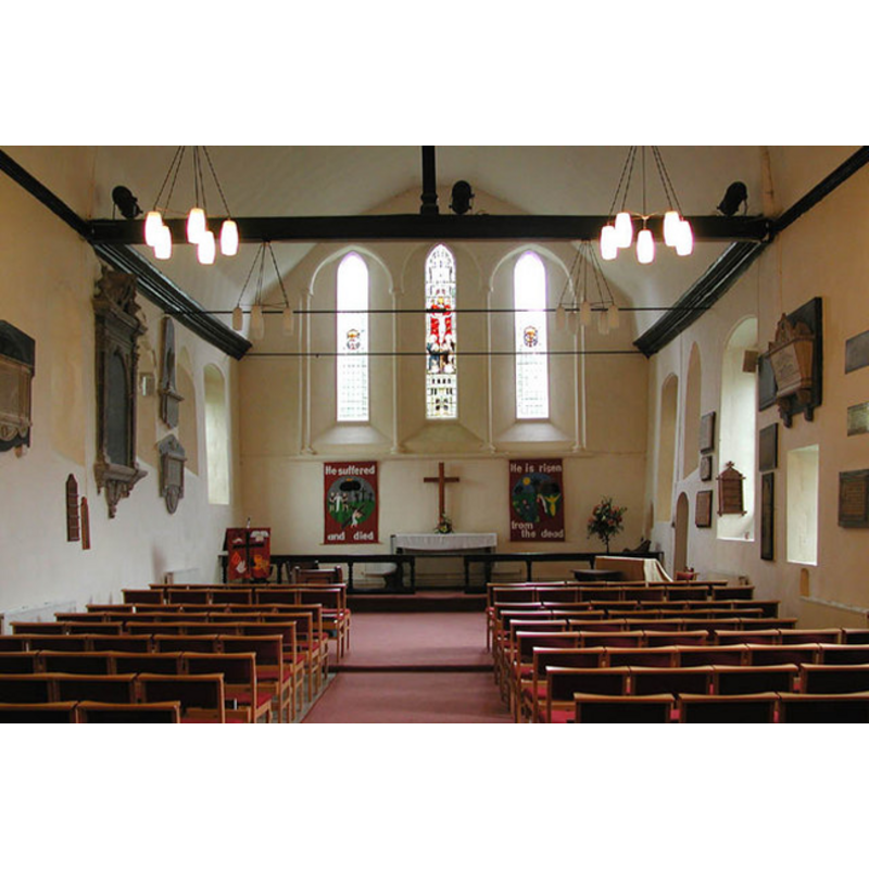
Copyright Statement: Image copyright © John Salmon, 2004
Image Source: digital photograph taken 8 May 2004 by John Salmon [www.geograph.org.uk/photo/334909] [accessed 26 March 2012]
Copyright Instructions: CC-BY-SA-3.0
INFORMATION
Font ID: 16774ONG
Object Type: Baptismal Font1
Font Century and Period/Style: 12th century (late?) [basin only] [composite font], Medieval [composite]
Church / Chapel Name: Parish Church of St. Mary the Virgin
Church Patron Saint(s): St. Mary the Virgin
Church Address: Norton Lane, High Ongar, Essex, CM5 9NQ
Site Location: Essex, East, England, United Kingdom
Directions to Site: Located just NE of Chipping Ongar, 13 km W of Chelmsford
Ecclesiastic Region: Diocese of Chelmsford
Historical Region: Hundred of Ongar
Additional Comments: disappeared font? -- the modern font can fe seen at http://www.flickr.com/photos/born2basnapper/5137129932/ [accessed 4 April 2012]
Font Notes:
Click to view
The Victoria County History (Essex, vol. 4, 1956) notes that there may have been a church in High Ongar before 1086, and "There was certainly a parish church at High Ongar in 1181 [...] The nave dates from the middle of the 12th century [...] The 12th-century south door is of special interest [...] The stone font is of mid-or late-19th-century date." Bettley & Pevsner (2007) note the "Heavy stone font by Swansborough". The modern font in this church has an octagonal basin with plain vertical sides, raised on a base consisting of a leaf capital and a plain shaft below, on a round-to-square lower base and a small quadrangular plinth with kneeling stone. [NB: we have no information on the whereabouts of the original 12th-century font of this church]
COORDINATES
UTM: 31U 310946 5732152
Latitude & Longitude (Decimal): 51.708412, 0.263645
Latitude & Longitude (DMS): 51° 42′ 30.28″ N, 0° 15′ 49.12″ E
REFERENCES
- Victoria County History [online], University of London, 1993-. URL: https://www.british-history.ac.uk.
- Bettley, James, Essex, New Haven and London: Yale University Press, 2007, p. 492