Great Hallingbury / Halingeberia / Hallingeberia
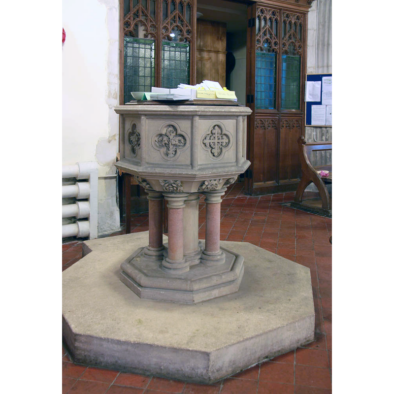
Image copyright © John Salmon, 2011
CC-BY-SA-2.0
Results: 3 records
view of font and cover
Scene Description: the modern font [cf. FontNotes]
Copyright Statement: Image copyright © John Salmon, 2011
Image Source: digital photograph taken 9 August 2011 by John Salmon [www.geograph.org.uk/photo/2575614] [accessed 15 May 2018]
Copyright Instructions: CC-BY-SA-2.0
view of church exterior - northeast view
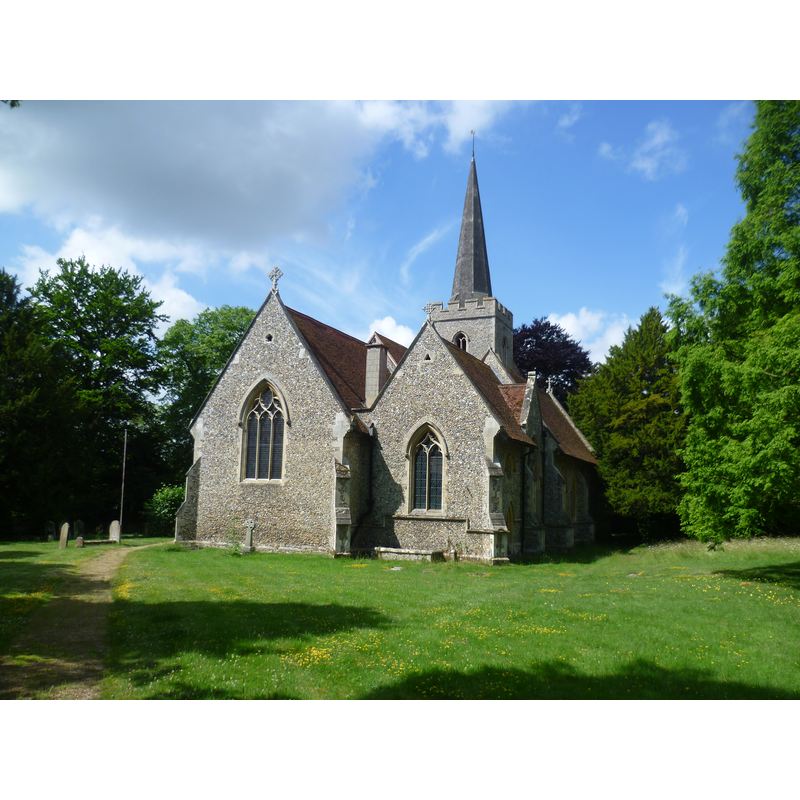
Scene Description: Source caption: "St Giles, Great Hallingbury. The tower dates from the 15th century, but the rest externally is all Victorian, dating from 1874."
Copyright Statement: Image copyright © Marathon, 2015
Image Source: digital photograph taken 27 June 2015 by Marathon [www.geograph.org.uk/photo/4544401] [accessed 15 May 2018]
Copyright Instructions: CC-BY-SA-2.0
view of church interior - nave - looking east
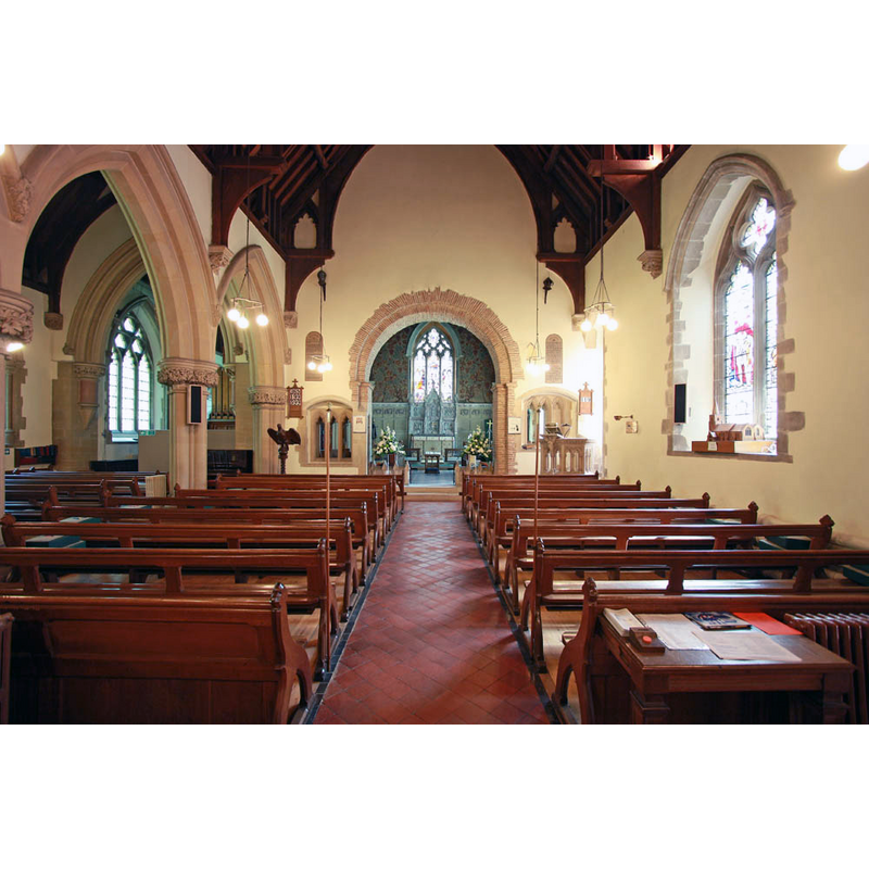
Copyright Statement: Image copyright © John Salmon, 2011
Image Source: digital photograph taken 9 August 2011 by John Salmon [www.geograph.org.uk/photo/2575590] [accessed 15 May 2018]
Copyright Instructions: CC-BY-SA-2.0
INFORMATION
Font ID: 16763HAL
Object Type: Baptismal Font1?
Font Century and Period/Style: 11th century, Medieval
Church / Chapel Name: Parish Church of St. Giles
Church Patron Saint(s): St. Giles [aka Aegidus, Egidus, Gilles]
Church Address: Church Rd, Great Hallingbury, Bishop's Stortford CM22 7TZ, UK -- Tel.: +44 1279 651851
Site Location: Essex, East, England, United Kingdom
Directions to Site: Located off (E) the M11, 4 km SE of Bishop's Stortford
Ecclesiastic Region: Diocese of Chalmsford
Historical Region: Hundred of Harlow
Additional Comments: disappeared font?
Font Notes:
Click to view
There are five entries for [Great and Little] Hallingbury [variant spellings] in the Domesday survey [http://opendomesday.org/place/XX0000/great-and-little-hallingbury/] [accessed 16 May 2018], one of which, in the lordship of Esger (the constable) in 1066, mentions a priest and church in it. The Victoria County History (Essex, vol. 8, 1983) notes: "Architectural evidence shows that Great Hallingbury church existed in the 11th century [...] Two features of the late 11th century have survived: the chancel arch, which is mainly of Roman brick, reset, and a small round-headed window in the nave [...] The building was remodelled and enlarged in 1874 [...] to the designs of G. E. Pritchett"; there is no mention of a font in the VCH entry. The entry for this church in Historic England [Listing NGR: TL5113719600] does not mention a font either. The present font, consisting of an octagonal basin with decorated panels, raised on a central shaft and four outer colonnettes, is modern.
COORDINATES
UTM: 31U 306714 5748543
Latitude & Longitude (Decimal): 51.854167, 0.193333
Latitude & Longitude (DMS): 51° 51′ 15″ N, 0° 11′ 36″ E
REFERENCES
- Victoria County History [online], University of London, 1993-. URL: https://www.british-history.ac.uk.