Colchester No. 8 / Colecastro / Colecestra
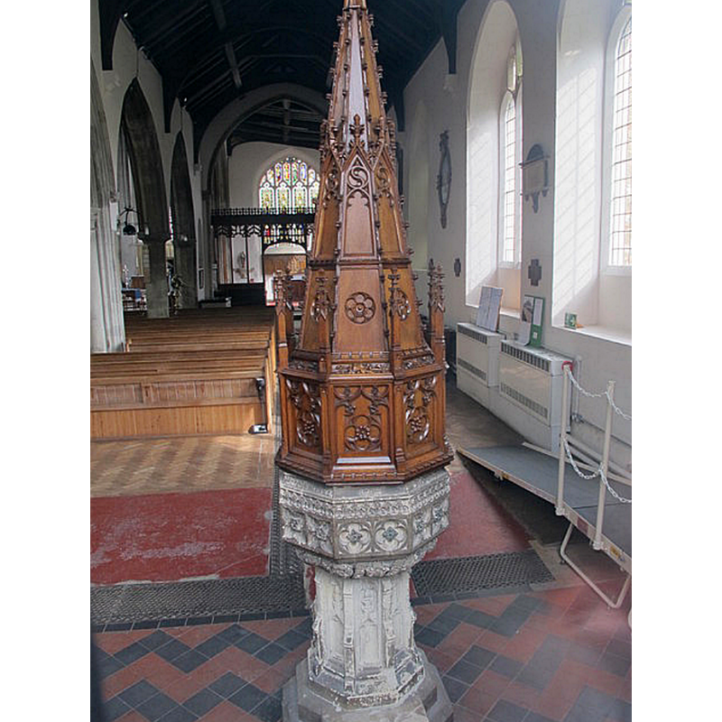
Image copyright © Mike Quinn, 2014
CC-BY-SA-2.0
Results: 3 records
view of font and cover in context
Scene Description: the modern font and cover
Copyright Statement: Image copyright © Mike Quinn, 2014
Image Source: digital photograph taken 2 April 2014 by Mike Qinn [www.geograph.org.uk/photo/4035580] [accessed 11 June 2018]
Copyright Instructions: CC-BY-SA-2.0
view of church exterior - north view
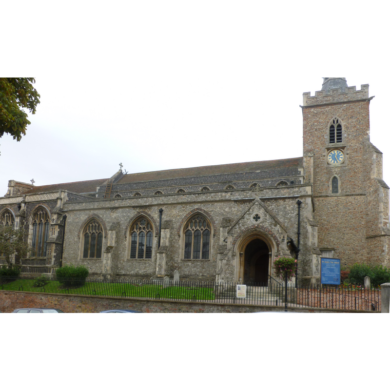
Scene Description: Source caption: "St James the Great, Colchester, photographed from the other side of East Hill"
Copyright Statement: Image copyright © Jarry1250, 2013
Image Source: edited detail of a digital photograph taken 15 September 2013 by Jarry1250 [https://commons.wikimedia.org/wiki/File:St_James_the_Great,_Colchester.JPG] [accessed 11 June 2018]
Copyright Instructions: CC-BY-SA-3.0
view of church interior - nave - looking east
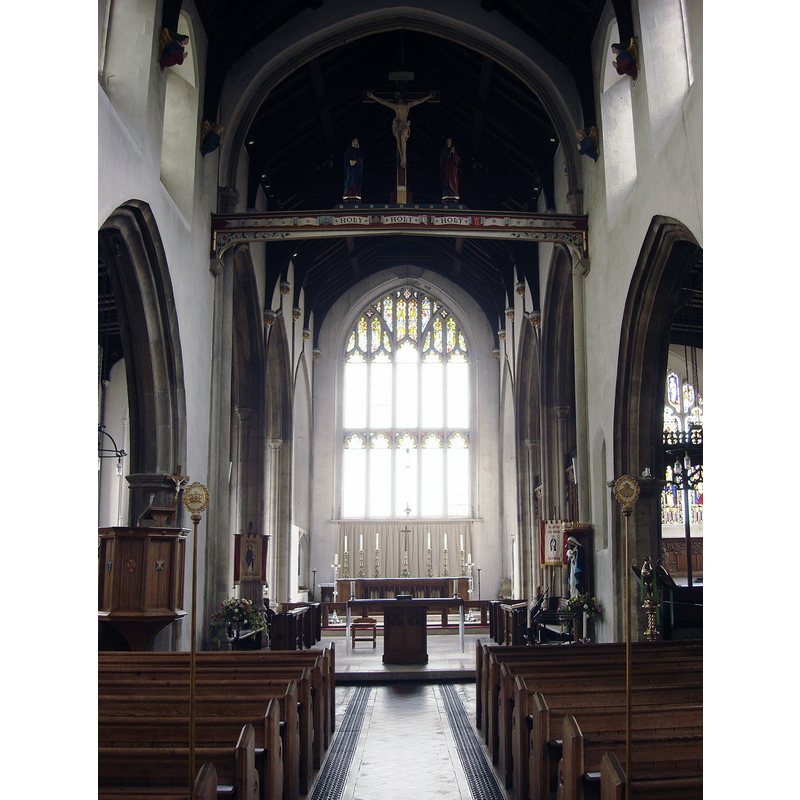
Copyright Statement: Image copyright © Maria, 2013
Image Source: digital photograph taken 14 September 2013 by Maria [https://commons.wikimedia.org/wiki/File:Church_of_St_James_the_Great_Interior_3.JPG] [accessed 11 June 2018]
Copyright Instructions: CC-BY-SA-3.0
INFORMATION
Font ID: 16713COL
Object Type: Baptismal Font1?
Font Century and Period/Style: 11th - 12th century, Norman
Church / Chapel Name: Parish Church of St. James and St. Paul [aka and formerly St. James the Great]
Font Location in Church: [cf. FontNotes]
Church Patron Saint(s): St. James the Greater [aka James the Great, James the Elder] & St. Paul
Church Address: East Hill, Colchester, Essex, CO1 2QL, UK
Site Location: Essex, East, England, United Kingdom
Directions to Site: Located on East Hill, Colchester
Ecclesiastic Region: Diocese of Chelmsford
Historical Region: Hundred of Colchester
Additional Comments: disappeared font?
Font Notes:
Click to view
There are seventeen entries for Colchester [variant spellings] in the Domesday survey [http://opendomesday.org/place/TL9925/colchester/] [accessed 8 June 2018]; a priest is mentioned as lord three times (two in 1066, one in 1086) and "0.5 church lands" is noted in one of the entries, but none of them mentions a church, though there must have some there at the time. The entry for this botough in the Victoria County History (Essex, vol. 9, 1994) notes: "Architectural evidence shows that the church was founded by the 12th century or earlier. [...] Before 1242 the advowson was held by Ralph Somer; it was granted to Coggeshall abbey in 1253 [...] The church of St. James, the largest in Colchester [...] in the 12th century the church may have been cruciform [...] The church underwent a major reconstruction in the late 15th century"; no font is mentioned in the VCH entry for this church. The entry for this church in Historic England [List entry Number: 1307051] does not mention a font in it either.
COORDINATES
UTM: 31U 355989 5750847
Latitude & Longitude (Decimal): 51.88976, 0.90729
Latitude & Longitude (DMS): 51° 53′ 23.14″ N, 0° 54′ 26.24″ E
REFERENCES
- Victoria County History [online], University of London, 1993-. URL: https://www.british-history.ac.uk.