Bobbingworth / Bovinger
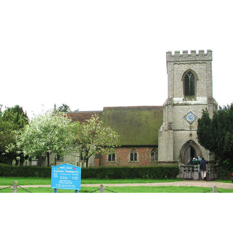
Image copyright © John Salmon, 2004
CC-BY-SA-3.0
Results: 1 records
view of church exterior - north view
Copyright Statement: Image copyright © John Salmon, 2004
Image Source: digital photograph taken 9 May 2004 by John Salmon [www.geograph.org.uk/photo/334880] [accessed 27 March 2012]
Copyright Instructions: CC-BY-SA-3.0
INFORMATION
Font ID: 16697BOB
Object Type: Baptismal Font1
Font Century and Period/Style: 15th century [basin only?] [composite font], Late Medieval
Church / Chapel Name: Parish Church of St. Germain
Font Location in Church: Inside the church, at the W end of the nave, N side [cf. FontNotes]
Church Patron Saint(s): St. Germain (Germanus)
Church Address: Stoney Lane, Bobbingworth, Essex, CM5 0LZ
Site Location: Essex, East, England, United Kingdom
Directions to Site: Located off the A414, 3 km NW of Chipping Ongar, 18 km W of Chelmsford
Ecclesiastic Region: Diocese of Chelmsford
Historical Region: Hundred of Ongar
Additional Comments: disused font / altered restored font; the base is of a later date -- disappeared font? (did a pre-Conquest church exist here [cf. FontNotes])
Font Notes:
Click to view
The Victoria County History (Essex, vol. 4, 1956) notes: "The date of the original nave is not known but it may be indicated by a 13th-century piscina in the south wall, now reset, [...] In 1909 Frederic Chancellor stated that during then recent work to the south wall ancient oak uprights were found embedded near its west end. [...] He suggested that these might have represented part of a pre-Conquest church, but in the absence of better evidence this must remain extremely doubtful. [...] The stone font is of the 15th century with an octagonal bowl and a moulded shaft. In 1770 the bowl was removed and a new one fitted to the pedestal [...] In 1936 the original bowl, carved with the initials 'J.P.', was discovered in the churchyard at Little Parndon. It was presented to Bobbingworth by the Netteswell and Little Parndon Parochial Church Council and now occupies its original position." The British Listed Buildings website [http://www.britishlistedbuildings.co.uk/en-117748-church-of-st-germain-bobbingworth] [accessed 15 June 2010] notes: "The font is octagonal and lead lined, possibly C15, resting on a later moulded octagonal base." Bettley & Pevsner (2007) date the font to the 15th century, without distinction of basin and base.
COORDINATES
UTM: 31U 308034 5734417
Latitude & Longitude (Decimal): 0.2203
Latitude & Longitude (DMS): 51° 43′ 39.94″ N, 0° 13′ 13.08″ E
MEDIUM AND MEASUREMENTS
Material: stone
Font Shape: octagonal, mounted
Basin Interior Shape: round
Basin Exterior Shape: octagonal
Drainage Notes: lead-lined
INSCRIPTION
Inscription Language: letters
Inscription Location: on the side of the basin
Inscription Text: "J. P."
Inscription Notes: [cf. FontNotes]
REFERENCES
- Victoria County History [online], University of London, 1993-. URL: https://www.british-history.ac.uk.
- Bettley, James, Essex, New Haven and London: Yale University Press, 2007, p. 144