Upton Warren / Houpton / Shirrevesupton / Upton Fitz Waryn / Upton Waryn / Uptune
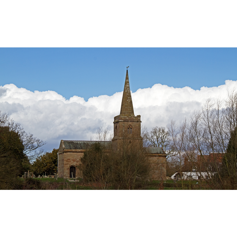
Image copyright © Tony Hisgett, 2012
CC-BY-2.0
Results: 1 records
view of church exterior
Copyright Statement: Image copyright © Tony Hisgett, 2012
Image Source: digital photograph taken 7 March 2012 by Tony Hisgett [http://commons.wikimedia.org/wiki/File:Church_of_St_Michael_Upton_Warren_(6815750220).jpg] [accessed 22 September 2014]
Copyright Instructions: CC-BY-2.0
INFORMATION
Font ID: 16656UPT
Object Type: Baptismal Font1?
Font Century and Period/Style: 13th century (late?), Medieval
Church / Chapel Name: Parish Church of St. Michael
Church Patron Saint(s): St. Michael
Church Address: Swan Lane, Upton Warren, Worcestershire B61 7EW
Site Location: Worcestershire, West Midlands, England, United Kingdom
Directions to Site: Located off the A38, 5-6 km N of Droitwich
Ecclesiastic Region: Diocese of Worcester
Historical Region: Hundred of Clent
Additional Comments: disappeared font? (the one from the late-12thC church here, and, perhaps, an earlier one from a likely Domesday-time church here)
Font Notes:
Click to view
There is an entry for Upton [Warren] [variant spelling] in the Domesday survey [http://domesdaymap.co.uk/place/SO9367/upton-warren/] [accessed 22 September 2014]; it reports a priest but mentions no church in it. Miller (1890) notes a 14th-century tower, the rest re-built in the late-18th century; first recorded rector "Thomas de Pendesham ... 1378"; no font mentioned. The Victoria County History (Worcester, vol. 3, 1913) notes: "There was a priest at Upton in 1086. [...] A church probably existed here at the time of the Domesday Survey, but was rebuilt towards the end of the 13th century and consecrated in 1300 [...] The whole structure except the tower was rebuilt in the 18th century, the chancel in 1724 and the nave in 1798 [...] The furniture is modern, the font being octagonal with panelled sides." Brooks & Pevsner (2007) suggest the thin Perpendicular-style font is of the 1798 re-building. The Parish website [http://www.uptonwarrenphoenix.co.uk/st-michaels-history.asp] [accessed 9 June 2010] notes: "The font is thought to date from around the time of the 1794 rebuild or soon after. It is well carved with a small octagonal bowl and stem; in Victorian times it had a complex top (complete with flying buttresses - now confined to the gallery), the lid is much simpler now." [NB: we have no information on the earlier font(s)]
COORDINATES
UTM: 30U 561165 5795392
Latitude & Longitude (Decimal): 52.305461, -2.102916
Latitude & Longitude (DMS): 52° 18′ 19.66″ N, 2° 6′ 10.5″ W
LID INFORMATION
Date: modern
Material: wood
Notes: [cf. FontNotes]
REFERENCES
- Victoria County History [online], University of London, 1993-. URL: https://www.british-history.ac.uk.
- Brooks, Alan, Worcestershire, New Haven; London: Yale University Press, 2007, p. 648
- Miller, George [Revd.], The Parishes of the Diocese of Worcester, Birmingham: Hall & English, 1890, vol. 2: 87