Madresfield / Maddersfyld / Maddresfield / Medeleffeld / Mederesfeude / Medresfeld / Metheresfeld
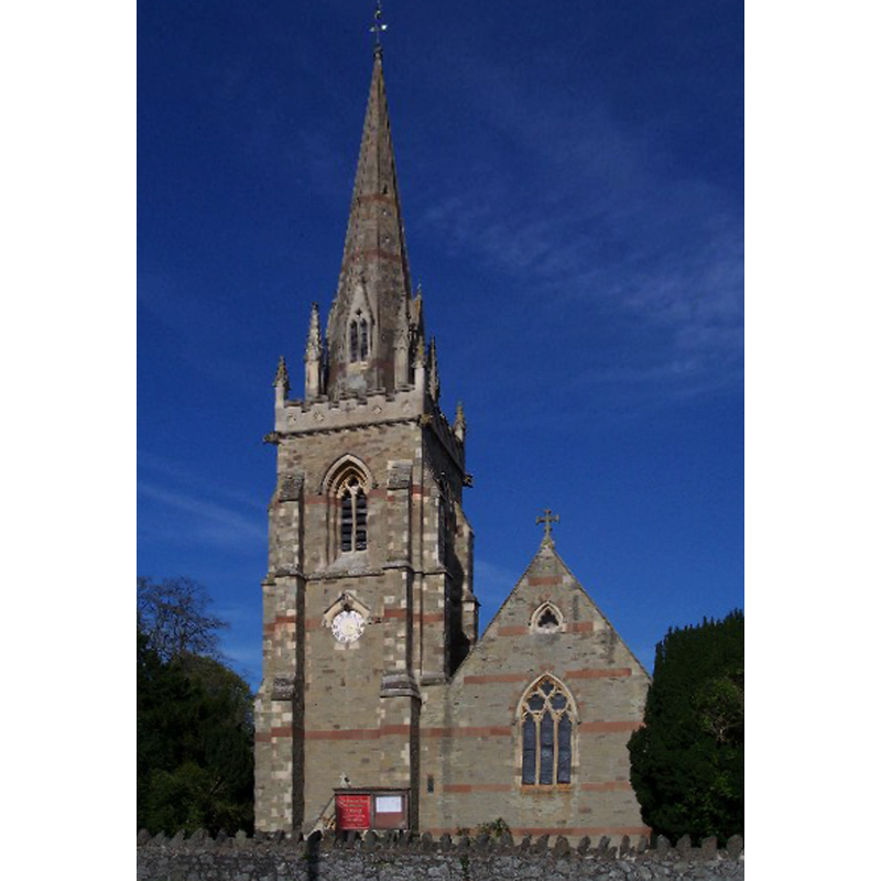
Image copyright © Bob Embleton, 2005
CC-BY-SA-2.0
Results: 3 records
view of church exterior - southwest end
Copyright Statement: Image copyright © Bob Embleton, 2005
Image Source: digital photograph taken 29 April 2005 by Bob Embleton [www.geograph.org.uk/photo/6151] [accessed 14 October 2014]
Copyright Instructions: CC-BY-SA-2.0
view of church exterior in context
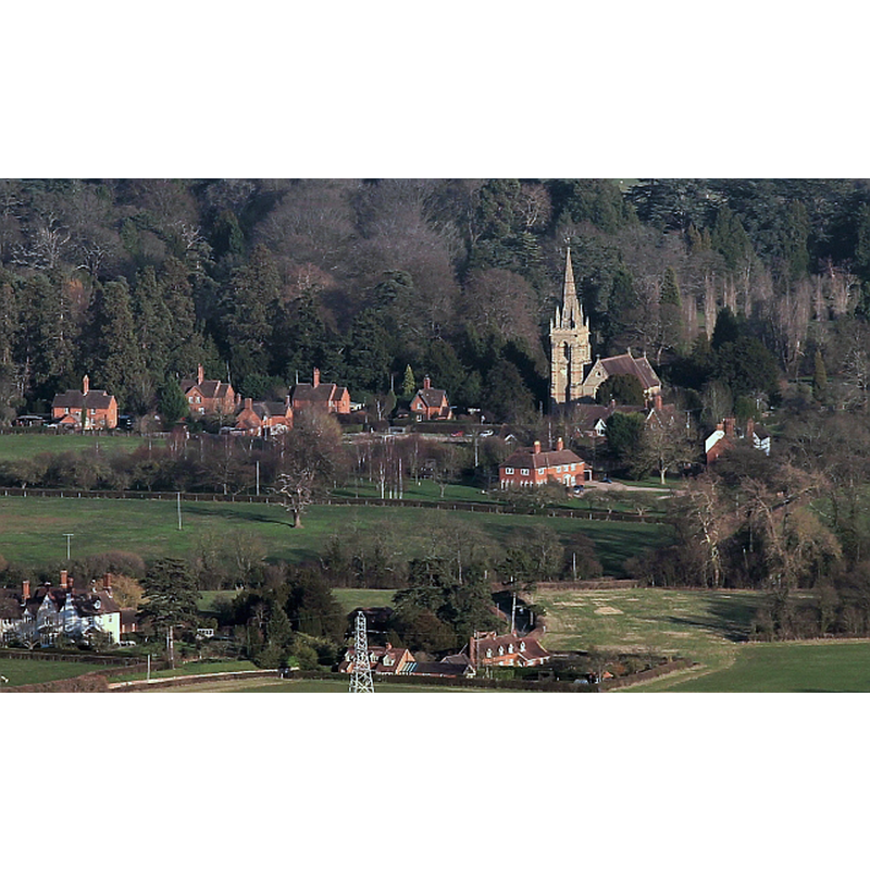
Copyright Statement: Image copyright © Bob Embleton, 2012
Image Source: digital photograph taken 13 January 2012 by Bob Embleton [www.geograph.org.uk/photo/2764873] [accessed 14 October 2014]
Copyright Instructions: CC-BY-SA-2.0
view of church interior - nave - looking east
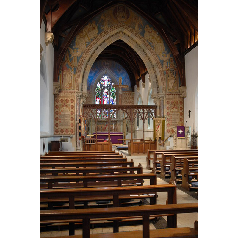
Copyright Statement: Image copyright © Philip Halling, 2010
Image Source: digital photograph taken 14 March 2010 by Philip Halling [www.geograph.org.uk/photo/1765184] [accessed 14 October 2014]
Copyright Instructions: CC-BY-SA-2.0
INFORMATION
Font ID: 16610MAD
Object Type: Baptismal Font1?
Font Century and Period/Style: 12th century, Medieval
Church / Chapel Name: Parish Church of St. Mary the Virgin
Church Patron Saint(s): St. Mary the Virgin
Church Address: Temple Avenue, Madresfield, Worcestershire WR13 5AA
Site Location: Worcestershire, West Midlands, England, United Kingdom
Directions to Site: Located off (E) the B4208, between Powick and Great Malvern
Ecclesiastic Region: Diocese of Worcester
Historical Region: Hundred of Pershore
Additional Comments: disappeared font? -- 18th-century font re-cycled as piscina -- famous person font: baptised in it: E.W. Pugin (1834-1875) was the son and heir of Augustus Welby Northmore Pugin, the neo-Gothic architect
Font Notes:
Click to view
No entry found for Madresfield in the Domesday survey. Miller (1890) notes that the church here was consecrated in 1867, but "The font, pulpit, and east window were in the previous church", of which he gives the first recorded rector as "Johannes Bracy ... 1311". The Victoria County History (Worcester, vol. 4, 1924) notes: "The original church [...] appears to have been of 12th-century origin, but considerably altered at later periods [...] The old building was taken down in 1852 and a new church erected on its site from designs by E. W. Pugin [...] and was taken down in 1866, when the present church was begun on a new site further west. It was designed by Mr. Frederick Preedy in the style of the 14th century, and was consecrated 10 November 1867 [...] Everything that was worth retaining in the church of 1852 was made use of in the new building, including the east and west windows, part of the reredos, the font and the pulpit [...] In the vestry is the marble basin of an 18thcentury font built into the wall and used as a piscina." Brooks & Pevsner (2007) describe the font as octagonal. [NB: we have no information on the medieval font of this church]
COORDINATES
UTM: 30U 548832 5775182
Latitude & Longitude (Decimal): 52.12501, -2.28669
Latitude & Longitude (DMS): 52° 07′ 30.04″ N, 2° 17′ 12.08″ W
MEDIUM AND MEASUREMENTS
Material: stone
Font Shape: octagonal, mounted
Basin Interior Shape: round
Basin Exterior Shape: octagonal
REFERENCES
- Victoria County History [online], University of London, 1993-. URL: https://www.british-history.ac.uk.
- Brooks, Alan, Worcestershire, New Haven; London: Yale University Press, 2007, p. 440
- Miller, George [Revd.], The Parishes of the Diocese of Worcester, Birmingham: Hall & English, 1890, vol. 2: 267-268