Great Comberton / Cumbrincgtune / Cumbrintune / Cumbrittone / Cvmbrintvne / Magna Cumbrintone / Major Cumberton
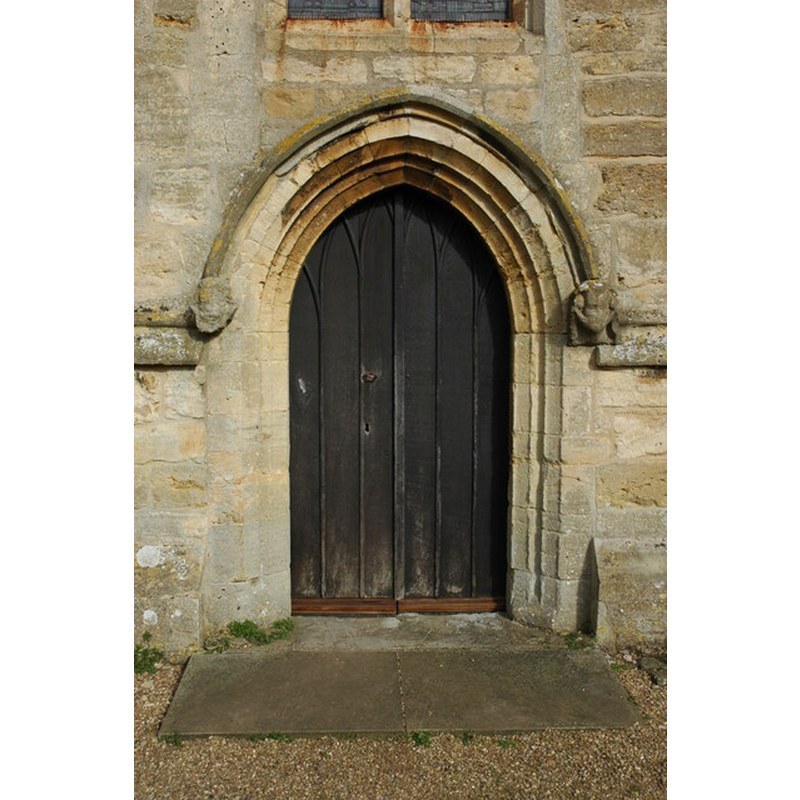
Image copyright © Philip Halling, 2008
CC-BY-SA-2.0
Results: 4 records
view of church exterior - west portal
Copyright Statement: Image copyright © Philip Halling, 2008
Image Source: digital photograph taken 24 March 2008 by Philip Halling [www.geograph.org.uk/photo/742061] [accessed 7 October 2014]
Copyright Instructions: CC-BY-SA-2.0
view of church exterior - west façade
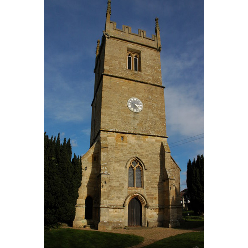
Copyright Statement: Image copyright © Philip Halling, 2008
Image Source: digital photograph taken 24 March 2008 by Philip Halling [www.geograph.org.uk/photo/741501] [accessed 7 October 2014]
Copyright Instructions: CC-BY-SA-2.0
view of church exterior - southeast view
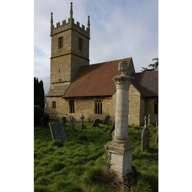
Copyright Statement: Image copyright © Philip Halling, 2008
Image Source: digital photograph taken 24 March 2008 by Philip Halling [www.geograph.org.uk/photo/742079] [accessed 7 October 2014]
Copyright Instructions: CC-BY-SA-2.0
symbol - shield - blank - in a quatrefoil - 8


INFORMATION
Font ID: 16595COM
Object Type: Baptismal Font1
Font Century and Period/Style: 15th century (early?), Perpendicular
Workshop/Group/Artisan: heraldic font
Church / Chapel Name: Parish Church of St. Michael
Font Location in Church: Inside the church, beneath the tower
Church Patron Saint(s): St. Michael
Church Address: Church Lane, Great Comberton, Worcestershire WR10 3DR
Site Location: Worcestershire, West Midlands, England, United Kingdom
Directions to Site: Located 4 km S of Pershore
Ecclesiastic Region: Diocese of Worcester
Historical Region: Hundred of Pershore
Additional Comments: disappeared font? (the one from the late-13thC here)
Font Notes:
Click to view
There are three entries for [Great and Little] Combertone [varian spelling] in the Domesday survey [http://domesdaymap.co.uk/place/XX0000/great-and-little-comberton/] [accessed 7 October 2014]; one of them, in the lordship of Gilbert, son of Turold, reports a priest in it. Miller (1890) reports: "The chancel was rebuilt 1861, some of the oak seats are very old, probably of the 13th century. The font is modern." The Victoria County History (Worcester, vol. 4, 1924) notes: "The first mention of the church occurs in 1268, when Ankaret Beauchamp held it. [...] Some of the rubble masonry of the nave may perhaps be of early date, but the church appears to have been almost entirely rebuilt in the 14th century, beginning at the east end. [...] The early 15th-century font, under the tower, has an octagonal bowl, each face having a quatrefoil panel and a blank shield, a moulded necking and base." In Brooks & Pevsner (2007).
COORDINATES
UTM: 30U 563936 5769940
Latitude & Longitude (Decimal): 52.076343, -2.067073
Latitude & Longitude (DMS): 52° 4′ 34.84″ N, 2° 4′ 1.46″ W
MEDIUM AND MEASUREMENTS
Material: stone
Font Shape: octagonal, mounted
Basin Interior Shape: round
Basin Exterior Shape: octagonal
REFERENCES
- Victoria County History [online], University of London, 1993-. URL: https://www.british-history.ac.uk.
- Brooks, Alan, Worcestershire, New Haven; London: Yale University Press, 2007, p. 323