Old Swinford / Oldswinford / Svineforde / Suineforde / Swineforde
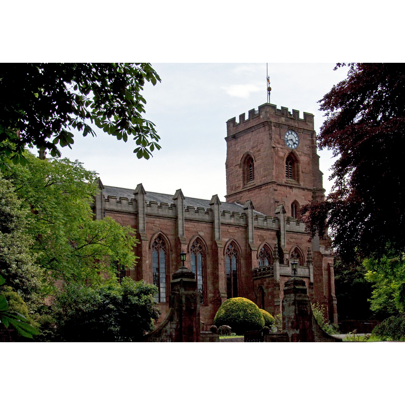
Image copyright © Tony Hisgett, 2009
CC-BY-SA-3.0
Results: 1 records
view of church exterior - northeast view
Copyright Statement: Image copyright © Tony Hisgett, 2009
Image Source: digital photograph taken 27 June 2009 by Tony Hisgett [http://commons.wikimedia.org/wiki/File:Church_of_St_Mary_Old_Swinford_(3666326770).jpg] [accessed 22 September 2014]
Copyright Instructions: CC-BY-SA-3.0
INFORMATION
Font ID: 16558OLD
Object Type: Baptismal Font1?
Font Date: ca. 1285?
Font Century and Period/Style: 13th century (late?), Early English
Church / Chapel Name: Parish Church of St. Mary
Font Location in Church: [cf. FontNotes]
Church Patron Saint(s): St. Mary the Virgin
Church Address: Rectory Road, Old Swinford, Worcestershire DY8 2HA
Site Location: Worcestershire, West Midlands, England, United Kingdom
Directions to Site: Oldswinford is now part of Stourbridge, near the border with Staffordshire
Ecclesiastic Region: Diocese of Worcester
Historical Region: Hundred of Clent
Additional Comments: disappeared font? (the one from the ca. 1285 church here) [was there an earlier Domesday-time church here?)
Font Notes:
Click to view
There is an entry for [Old] Swinford [variant spelling] in the Domesday survey [http://domesdaymap.co.uk/place/SO9083/old-swinford/] [accessed 22 September 2014]; it reports a priest in it but mentions no church. Noake (1848) writes: "The church of Oldswinford is a modern erection, except the tower, which is of the date of the fourteenth century, the rest of the building [...] erected in 1843 [...] In removing the old building [...] An ancient lich gate having an ornamented arch together with an old font were both removed at the same time". Miller (1890) notes that the Church of St. Mary here was "the mother church of Old Swinford and Stourbridge", and had a 14th-century tower; "The spire was rebuilt 1810 and retopped 1843, 1885. The rest of the church was rebuilt 1842, when the old church was pulled down." The Victoria County History (Worcester, vol. 3, 1913) notes: "A priest is mentioned in Domesday [...] and a church was in existence at Old Swinford at least as early as 1284–5 [...] The western tower, the only ancient part of the church, is a fine example of late 14th-century work". [NB: we have no information on the whereabouts of the medieval font removed at that time]
COORDINATES
UTM: 30U 558658 5811077
Latitude & Longitude (Decimal): 52.446734, -2.136932
Latitude & Longitude (DMS): 52° 26′ 48.24″ N, 2° 8′ 12.95″ W
REFERENCES
- Victoria County History [online], University of London, 1993-. URL: https://www.british-history.ac.uk.
- Miller, George [Revd.], The Parishes of the Diocese of Worcester, Birmingham: Hall & English, 1890, vol. 2: 167
- Noake, John, The rambler in Worcestershire, or, Stray notes on churches and congregations, Worcester: Published and sold by all booksellers, 1848, p. 210