Tatham / Tathalm / Tateham / Thataim / Thatham
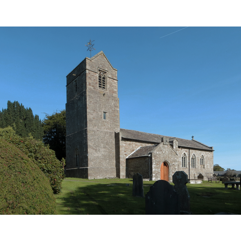
Image copyright © Philip Platt, 2014
CC-BY-SA-2.0
Results: 2 records
view of church exterior - southwest view
Copyright Statement: Image copyright © Philip Platt, 2014
Image Source: edited detail of a digital photograph taken 2 October 2014 by Philip Platt [www.geograph.org.uk/photo/4189995] [accessed 5 April 2019]
Copyright Instructions: CC-BY-SA-2.0
view of church exterior in context - southeast view
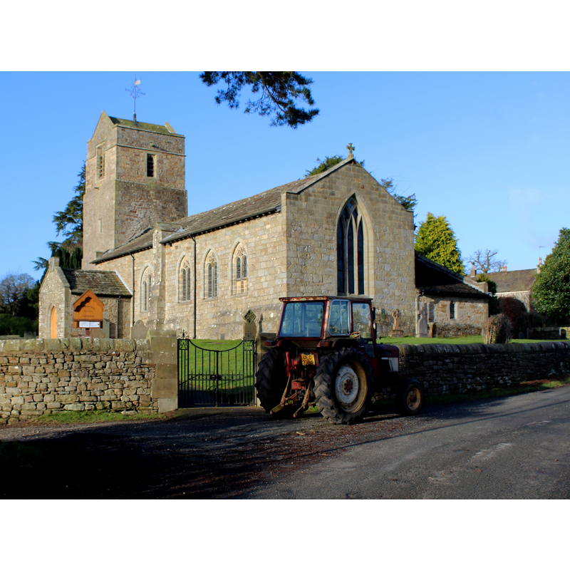
Copyright Statement: Image copyright © Chris Heaton, 2015
Image Source: edited detail of a digital photograph taken 8 January 2015 by Chris Heaton [www.geograph.org.uk/photo/4308606] [accessed 5 April 2019]
Copyright Instructions: CC-BY-SA-2.0
INFORMATION
Font ID: 16531TAT
Object Type: Baptismal Font1?
Font Century and Period/Style: 11th century, Pre-Conquest? / Norman
Church / Chapel Name: Parish Church of St. James the Less
Church Patron Saint(s): St. James the Less [aka James the Lesser, James the Little, James the Minor, James the Younger]
Church Address: Tatham, Lancaster LA2 8NH, UK
Site Location: Lancashire, North West, England, United Kingdom
Directions to Site: Located off (W) the B6480, 2 km NE of Hornby, 16 km NE of Lancaster
Ecclesiastic Region: Diocese of Blackburn
Historical Region: Hundred of Lonsdale -- Hundred of Amounderness [in Domesday]
Additional Comments: disappeared font? (the one from the Domesday-time church here)
Font Notes:
Click to view
Tatham [variant spelling] is one six places included in an entry in the Domesday survey [https://opendomesday.org/place/SD6069/tatham/] [accessed 5 April 2019]; the entry reports three churches in it. The entry for this parish in the Victoria County History (Lancaster, vol. 8, 1914) notes: "The church, though named in Domesday Book, seems a little later to have become a chapel of ease to Melling [...] It has apparently been rebuilt in the 15th century, but retains some portions of an older structure [...] In 1885 the building underwent a very thorough restoration [...] The floor is flagged, and all the fittings, including the font and pulpit, are modern." The modern font is made of sandstone, of octagnal shaped and carved. [NB: we have no information on the medieval font]
COORDINATES
UTM: 30U 525851 5996845
Latitude & Longitude (Decimal): 54.1191, -2.6045
Latitude & Longitude (DMS): 54° 7′ 8.76″ N, 2° 36′ 16.2″ W
MEDIUM AND MEASUREMENTS
Material: stone
REFERENCES
- Victoria County History [online], University of London, 1993-. URL: https://www.british-history.ac.uk.