North Meols / Churchtown / Nordmele / Northmeles / Otegrimele / Otringemele
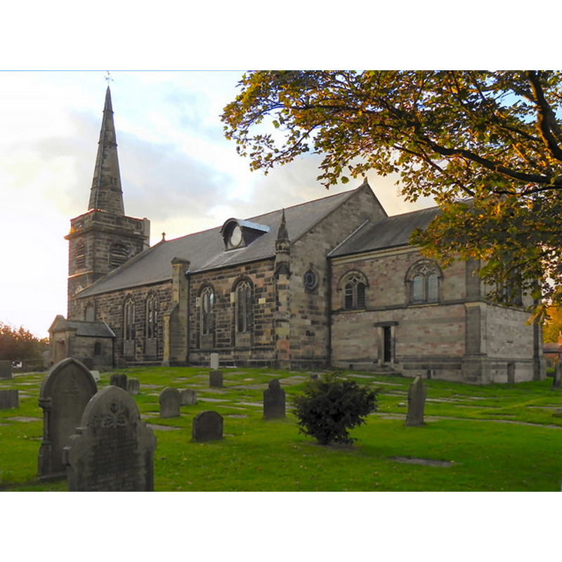
Image copyright © David Nixon, 2010
CC-BY-SA-3.0
Results: 1 records
view of church exterior - southeast view
Copyright Statement: Image copyright © David Nixon, 2010
Image Source: digital photograph taken 25 September 2010 by David Dixon [www.geograph.org.uk/photo/2091966] [accessed 26 June 2014]
Copyright Instructions: CC-BY-SA-3.0
INFORMATION
Font ID: 16529CHU
Object Type: Baptismal Font1?
Font Century and Period/Style: 11th - 12th century, Medieval
Church / Chapel Name: Parish Church of St. Cuthbert
Church Patron Saint(s): St. Cuthbert [aka Cubertus]
Church Address: Botanic Road, Churchtown, Merseyside, PR9 7NA
Site Location: Lancashire, North West, England, United Kingdom
Directions to Site: Located off (E) the A5287/B5244, 1 km from Churchtown, by the Botanic Gardens of Southport, of which it is now a suburb to the NE
Ecclesiastic Region: Diocese of Liverpool [formerly in the Diocese of Chester]
Historical Region: Hundred of West Derby
Additional Comments: disappeared font?
Font Notes:
Click to view
There are two entries for [North] Meols [variant spelling] in the Domesday survey [http://domesdaymap.co.uk/place/SD3419/north-meols/] [accessed 25 June 2014], neither of which mentions a church or cleric in it. The Victoria County History (Lancaster, vol. 3, 1907) notes: "The known history of the church goes back to the time of King Stephen [i.e., 1135-1154], when Warin Bussel granted it to Evesham, the abbey to provide a chaplain." The VCH (ibid.) reports all other churches here as modern. According to the Parish LAN [www.lan-opc.org.uk/North-Meols/index.html] [accessed 5 October 2011] the register for baptisms at St Cuthbert starts in 1594. Hartwell & Pevsner (2009) report a "strong baluster" font of the 18th century in this church. The present church is chiefly 18th-century, but a medieval church in North Meols is believed to have existed prior to the Conquest. The Church of England web site [www.achurchnearyou.com/north-meols-st-cuthbert/] [accessed 5 October 2011] notes: "North Meols was mentioned in the Domesday Book and the first Rector, Adam the Clerk is known to have been here in 1178." [NB: we have no information on the medieval font]
COORDINATES
UTM: 30U 502488 5945702
Latitude & Longitude (Decimal): 53.66006, -2.962351
Latitude & Longitude (DMS): 53° 39′ 36.22″ N, 2° 57′ 44.47″ W
REFERENCES
- Victoria County History [online], University of London, 1993-. URL: https://www.british-history.ac.uk.
- Victoria County History [online], University of London, 1993-. URL: https://www.british-history.ac.uk.
- Hartwell, Clare, Lancashire North, New Haven; London: Yale University Press, 2009, p. 644