Churchtown / Kirkelund / Kirkland / Kyrkeland / Kyrkelond / Kyrkelund / Garstang / Cherestanc
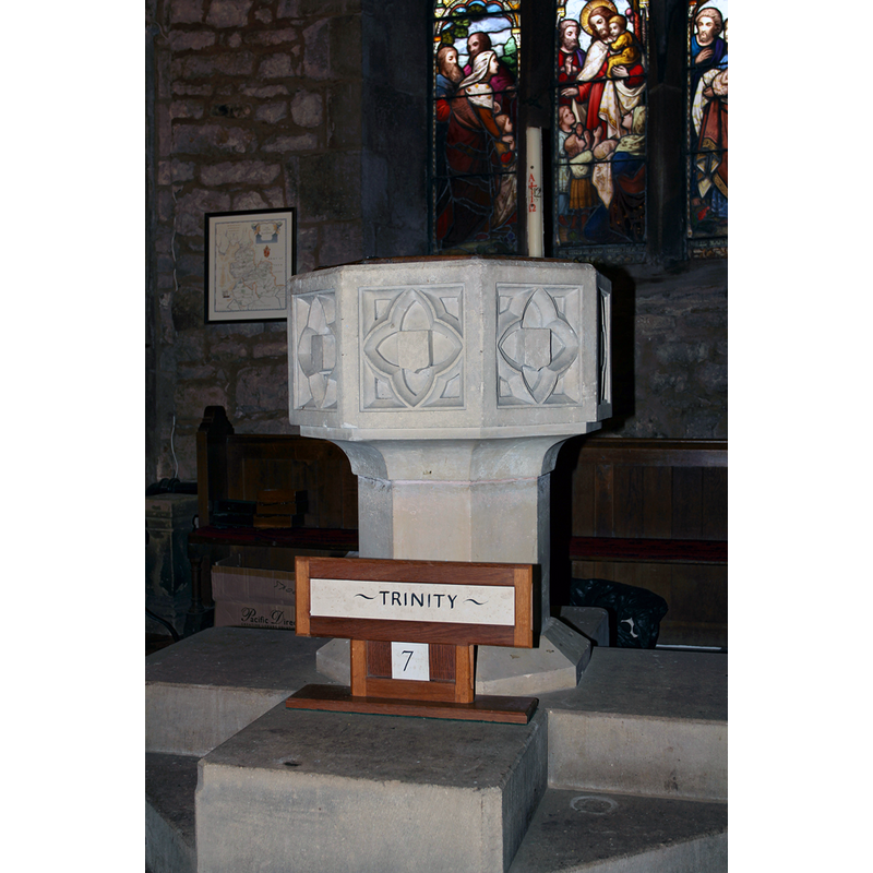
Image copyright © graigthornber, 2012
CC-BY-SA-3.0
Results: 5 records
view of font
Scene Description: the modern font
Copyright Statement: Image copyright © graigthornber, 2012
Image Source: digital photograph taken 20 July 2012 by craigthornber [https://commons.wikimedia.org/wiki/File:2012_07_26_Garstang_04.jpg] [accessed 1 April 2019]
Copyright Instructions: CC-BY-SA-3.0
view of church exterior - north view
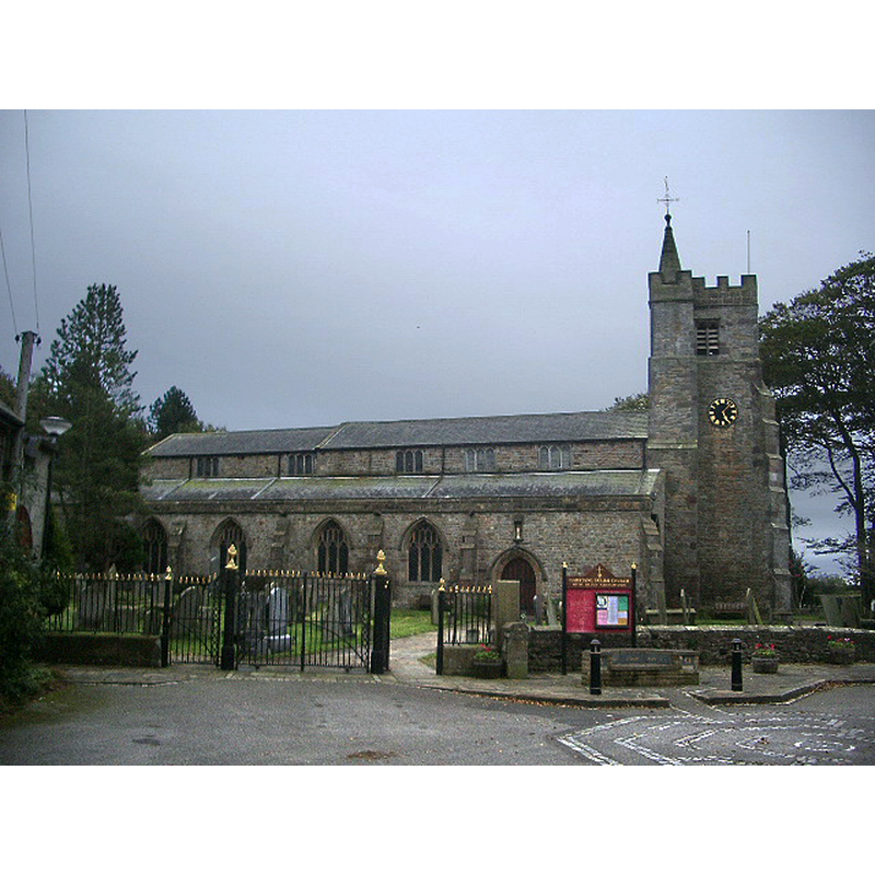
Copyright Statement: Image copyright © Alexander P Kapp, 2008
Image Source: digital photograph taken 10 October 2008 by Alexander P Kapp [https://commons.wikimedia.org/wiki/File:St_Helen's_Church,_Churchtown.jpg] [accessed 1 April 2019]
Copyright Instructions: CC-BY-SA-2.0
view of church exterior - south view
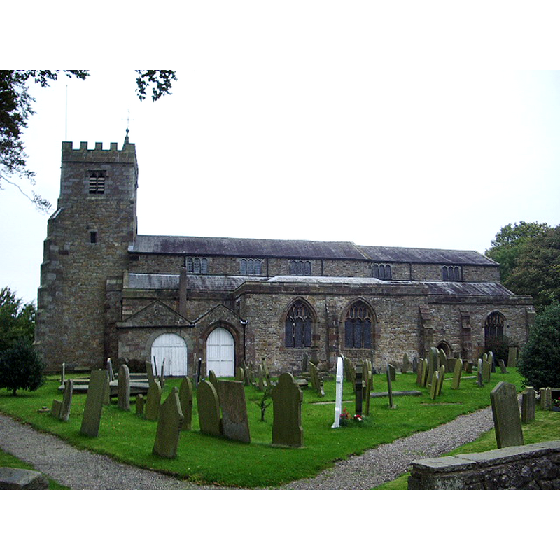
Copyright Statement: Image copyright © Alexander P Kapp, 2008
Image Source: digital photograph taken 10 October 2008 by Alexander P Kapp [https://commons.wikimedia.org/wiki/File:Garstang_Parish_Church_of_St_Helen,_Churchtown_-_geograph.org.uk_-_1000974.jpg] [accessed 1 April 2019]
Copyright Instructions: CC-BY-SA-2.0
view of church interior - nave - looking east
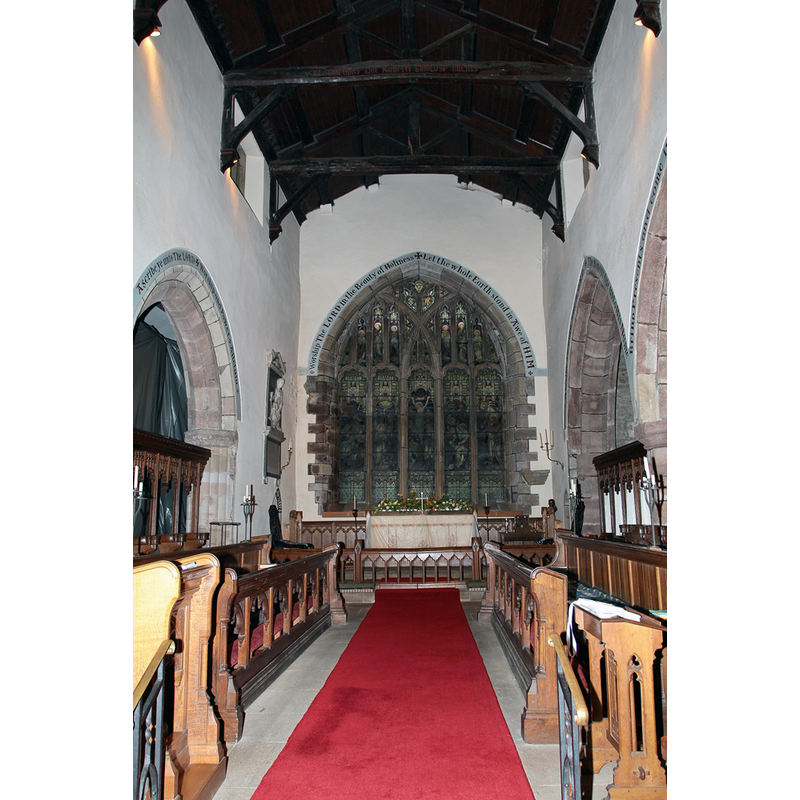
Copyright Statement: Image copyright © graigthornber, 2012
Image Source: digital photograph taken 20 July 2012 by craigthornber [https://commons.wikimedia.org/wiki/File:2012_07_26_Garstang_12.jpg] [accessed 1 April 2019]
Copyright Instructions: CC-BY-SA-3.0
view of font in context
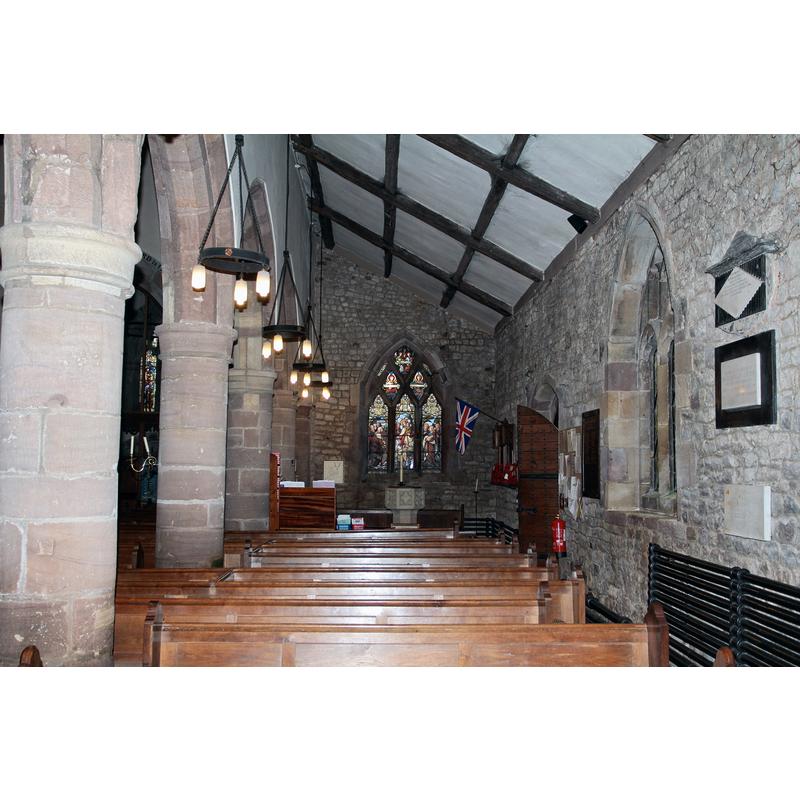
Scene Description: the modern font in the context of the south aisle
Copyright Statement: Image copyright © graigthornber, 2012
Image Source: digital photograph taken 20 July 2012 by craigthornber [https://commons.wikimedia.org/wiki/File:2012_07_26_Garstang_12.jpg] [accessed 1 April 2019]
Copyright Instructions: CC-BY-SA-3.0
INFORMATION
Font ID: 16514CHU
Object Type: Baptismal Font1?
Font Century and Period/Style: 13th century (early?), Medieval
Church / Chapel Name: Parish Church of St. Helen [aka Garstang St. Helen]
Church Patron Saint(s): St. Helena
Church Notes: "St Helen's, sometimes called the "Cathedral of the Fylde", is the parish church of Garstang." [source: http://www.lancashirechurches.co.uk/churchtown.htm]
Church Address: Church St, Churchtown, Preston PR3 0HT, UK
Site Location: Lancashire, North West, England, United Kingdom
Directions to Site: Located off (S) the A586, between the Post Office and the river
Ecclesiastic Region: Diocese of Blackburn
Historical Region: Hundred of Amounderness
Additional Comments: disappeared font?
Font Notes:
Click to view
No entry found for Churchtown in the Domesday survey, but Garstang is one of the places included in the entry for Preston in the hundred of Amounderness [https://opendomesday.org/place/SD4945/garstang/] [accessed 1 April 2019], which reports three churches in it. Whitaker (1823) notes that nothing in this church is earlier than Henry III's time [i.e., 1216-1272], although there may have been an earlier building there; it mentions no font in it. The entry for the civil parish of Garstand in the Victoria County History (Lancaster, vol. 7, 1912) reports a modern font in Churchtown, though the fabric of the church goes back to the early-13th century [NB: we have no information on the medieval font].
COORDINATES
UTM: 30U 513805 5970057
Latitude & Longitude (Decimal): 53.8788, -2.79
Latitude & Longitude (DMS): 53° 52′ 43.68″ N, 2° 47′ 24″ W
REFERENCES
- Victoria County History [online], University of London, 1993-. URL: https://www.british-history.ac.uk.
- Whitaker, Thomas Dunham, An history of Richmondshire, in the North Riding of the County of York [...], with illustrations by J.M.W. Turner, London: [s.n.], 1823, vol. 2: 449ff