Arkholme / Argholme / Argun / Erghum / Ergum / Ergune / Erwhum / Erwom / Hergun
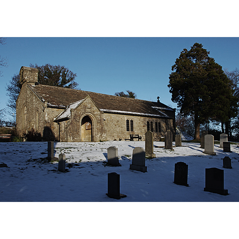
Image copyright © Ian Taylor, 2010
CC-BY-SA-2.0
Results: 2 records
view of church exterior - southwest view
Copyright Statement: Image copyright © Ian Taylor, 2010
Image Source: digital photograph taken 3 December 2010 by Ian Taylor [www.geograph.org.uk/photo/2187693] [accessed 4 April 2019]
Copyright Instructions: CC-BY-SA-2.0
view of church interior - looking east
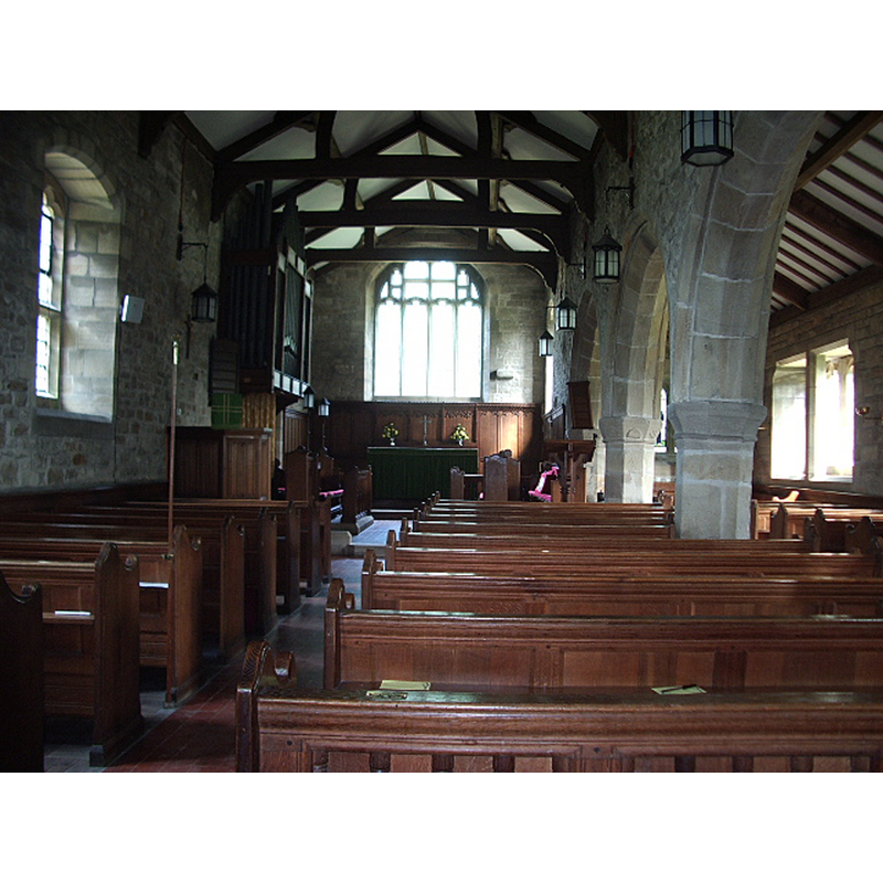
Copyright Statement: Image copyright © Alexander P Kapp, 2006
Image Source: digital photograph taken 26 July 2006 by Alexander P Kapp [www.geograph.org.uk/photo/209266] [accessed 4 April 2019]
Copyright Instructions: CC-BY-SA-2.0
INFORMATION
Font ID: 16496ARK
Object Type: Baptismal Font1?
Font Century and Period/Style: 15th - 16th century, Late Medieval
Church / Chapel Name: Parish Church of St. John the Baptist
Church Patron Saint(s): St. John the Baptist
Church Address: off the B6254, Arkholme, Carnforth LA6 1AY, UK -- Tel.: (015242) 21712
Site Location: Lancashire, North West, England, United Kingdom
Directions to Site: Located between the A683 to the E, and the B6254 to the W, 5 km NNE of Hornby, WNW of Melling
Ecclesiastic Region: Diocese of Blackburn
Historical Region: Hundred of Lonsdale -- Hundred of Amounderness [in Domesday]
Additional Comments: disappeared font? / composite font? The 18th-century font base?
Font Notes:
Click to view
There is an entry for Arkholme [variant spelling] in the Domesday survey, an entry for over a dozen places [https://opendomesday.org/place/SD5872/arkholme/] [accessed 4 April 2019], but it mentions neither cleric nor church in it. The entry for this township in the Victoria County History (Lancaster, vol. 8, 1914) notes: "The origin and dedication of the chapel at Arkholme are unknown. [...] the building [...] appears to be of late 15th or early 16th-century date [...] The registers begin in 1626. [...] The font is modern, but the 18th-century one is in the churchyard." The Parish website [http://www.lancashirechurches.co.uk/arkholme.htm] [accessed 3 May 2010] notes the move of the 18th-century font into the church since the VCH report: "A church is known to have existed at Arkholme around 1450: a time when the village was known as Erwhum […] At the east end of the church are two fonts. The oldest is a small C18 bowl on a heavy base. The newer font (is it C20?) is quite the reverse - a large octagonal, panelled bowl on a very slight column and base! The cover of this font commemorates the last of the Arkholme basket makers, Charlie Ireland, who died in 1959." Hartwell & Pevsner (2009) note both fonts inside the church, and described the 20th-century as "ill proportioned". [NB: we have no information on the late-medieval font]
COORDINATES
UTM: 30U 524139 5999228
Latitude & Longitude (Decimal): 54.1406, -2.6305
Latitude & Longitude (DMS): 54° 8′ 26.16″ N, 2° 37′ 49.8″ W
LID INFORMATION
Notes: [cf. FontNotes]
REFERENCES
- Victoria County History [online], University of London, 1993-. URL: https://www.british-history.ac.uk.
- Hartwell, Clare, Lancashire North, New Haven; London: Yale University Press, 2009, p. 86