Wheathill nr. Ludlow / Waltham
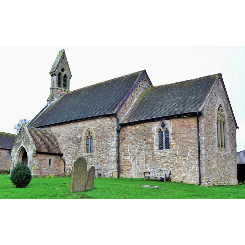
Image copyright © paul wood, 2015
CC-BY-SA-2.0
Results: 1 records
view of church exterior - southeast view
Copyright Statement: Image copyright © paul wood, 2015
Image Source: digital photograph taken 11 December 2015 by paul wood [www.geograph.org.uk/photo/4766173] [accessed 6 February 2018]
Copyright Instructions: CC-BY-SA-2.0
INFORMATION
Font ID: 16482WHE
Object Type: Baptismal Font1?
Font Century and Period/Style: 12th century, Late Norman
Church / Chapel Name: Parish Church of the Holy Trinity
Font Location in Church: [cf. FontNotes]
Church Patron Saint(s): The Holy Trinity
Church Address: Wheathill, Bridgnorth WV16 6QP , UK -- Tel,: 01746 712636
Site Location: Shropshire, West Midlands, England, United Kingdom
Directions to Site: Located off (E) the B4364, 8 km NW of Cleobury Mortimer, 15 km ENE of Ludlow, 18 km SW of Bridgnorth
Ecclesiastic Region: Diocese of Hereford
Historical Region: Hundred of Stottesdon -- Hundred of Conditre [in Domesday]
Additional Comments: disappeared font? (the one from the 12thC church here)
Font Notes:
Click to view
There is an entry for this Wheathill [variant spelling] in the Domesday survey [http://opendomesday.org/place/SO6282/wheathill/] [accessed 6 February 2018], but it mentions neither cleric nor church in it. Eyton (1856- ) reports an incumbent at this church by 1284. Newman & Pevsner (2006) identify a Norman nave and chancel in this church. The entry for this church in Historic England [Listing NGR: SO6219582152] [accessed 6 February 2018] mentions no font in it, an indication whatever font in it is modern. [NB: we have no information on the medieval font]
COORDINATES
UTM: 30U 530089 5809631
Latitude & Longitude (Decimal): 52.43605, -2.5574
Latitude & Longitude (DMS): 52° 26′ 9.78″ N, 2° 33′ 26.64″ W
REFERENCES
- Eyton, Robert William, The Antiquities of Shropshire, London: John Russell Smith, 1856-, vol. 4: 290
- Newman, John, Shropshire, New Haven: Yale University Press, 2006, p. 687