Westbury nr. Shrewsbury / Wesberie
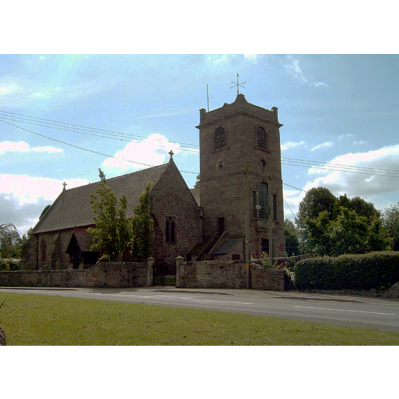
Image copyright © Gordon Cragg, 2003
CC-BY-SA-2.0
Results: 2 records
view of church exterior - northwest view
Copyright Statement: Image copyright © Gordon Cragg, 2003
Image Source: digital photograph taken 14 August 2003 by Gordon Cragg [www.geograph.org.uk/photo/1163180] [accessed 12 February 2019]
Copyright Instructions: CC-BY-SA-2.0
view of church exterior - south view
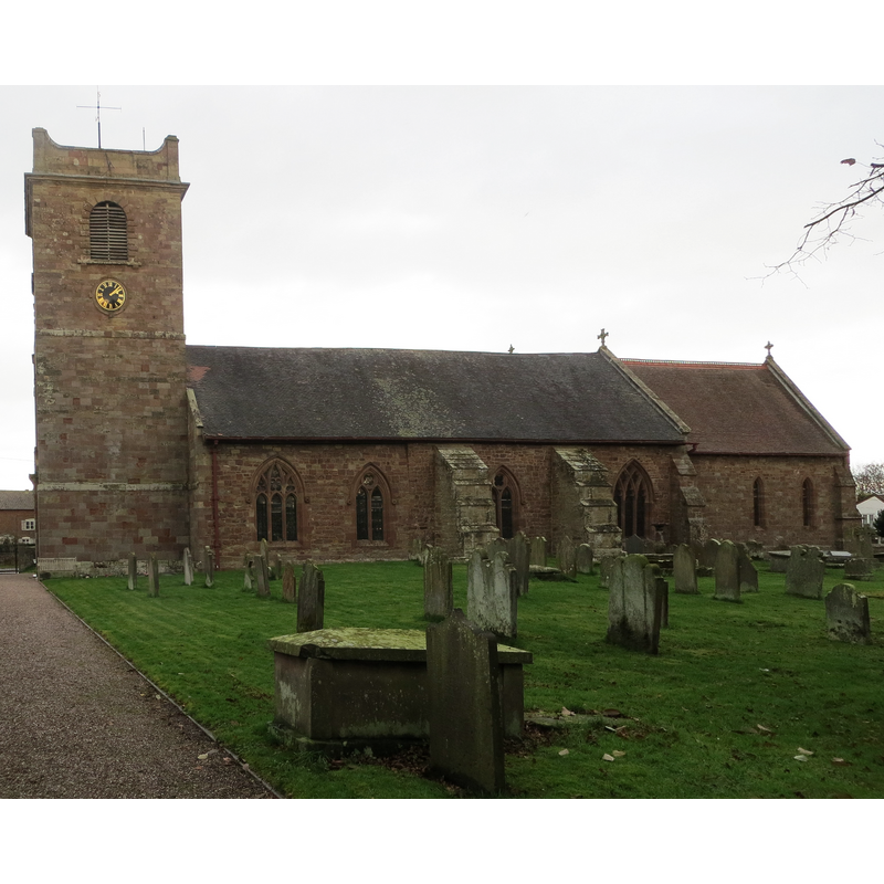
Copyright Statement: Image copyright © Peter Wood, 2016
Image Source: digital photograph taken 7 September 2016 by Peter Wood [www.geograph.org.uk/photo/5233726] [accessed 12 February 2019]
Copyright Instructions: CC-BY-SA-2.0
INFORMATION
Font ID: 16479WES
Object Type: Baptismal Font1?
Font Century and Period/Style: 11th century, Pre-Conquest? / Norman
Church / Chapel Name: Parish Church of St. Mary
Church Patron Saint(s): St. Mary the Virgin
Church Address: 6 Hermitage Cl, Westbury, Shrewsbury SY5 9QL, UK
Site Location: Shropshire, West Midlands, England, United Kingdom
Directions to Site: Located on the B4387, 14 km SW of Shrewsbury
Ecclesiastic Region: Diocese of Hereford
Historical Region: Hundred of Reweset
Additional Comments: disappeared font? (the one from the Domesday-time church here)
Font Notes:
Click to view
There is an entry for this Westbury [variant spelling] in the Domesday survey [https://opendomesday.org/place/SJ3509/westbury/] [accessed 12 February 2019]; it mentions two priest in it, but not a church, though there must have been there. Anderson (1864) notes: "The mention of two priests in the Domesday entry relating to Westbury, indicates the existence of a collegiate church in this place". Newman & Pevsner (2006) mention the existence of a "pre-Norman minster church" here, but note that the fittings of the present church are largely of the 1887 building. The entry for this church in Historic England [Listing NGR: SJ3554509428] notes: "Parish church. C13 and C14; tower rebuilt after collapse in 1753, [...] and the chancel also rebuilt in 1753; church restored (and most windows replaced), chancel re-modelled and vestry added by 1878 or 1887 [...] octagonal stone font with 2 steps, trefoil-panelled stem and quatrefoil-panelled bowl". [NB: we have no information on the earlier font(s)]
COORDINATES
UTM: 30U 503036 5836497
Latitude & Longitude (Decimal): 52.6784, -2.9551
Latitude & Longitude (DMS): 52° 40′ 42.24″ N, 2° 57′ 18.36″ W
REFERENCES
- Anderson, John Corbet, Shropshire, its early history and antiquities, comprising […], London: Willis and Sotheran, 1864, p. 366
- Newman, John, Shropshire, New Haven: Yale University Press, 2006, p. 679