Stowe nr. Knighton / Stow
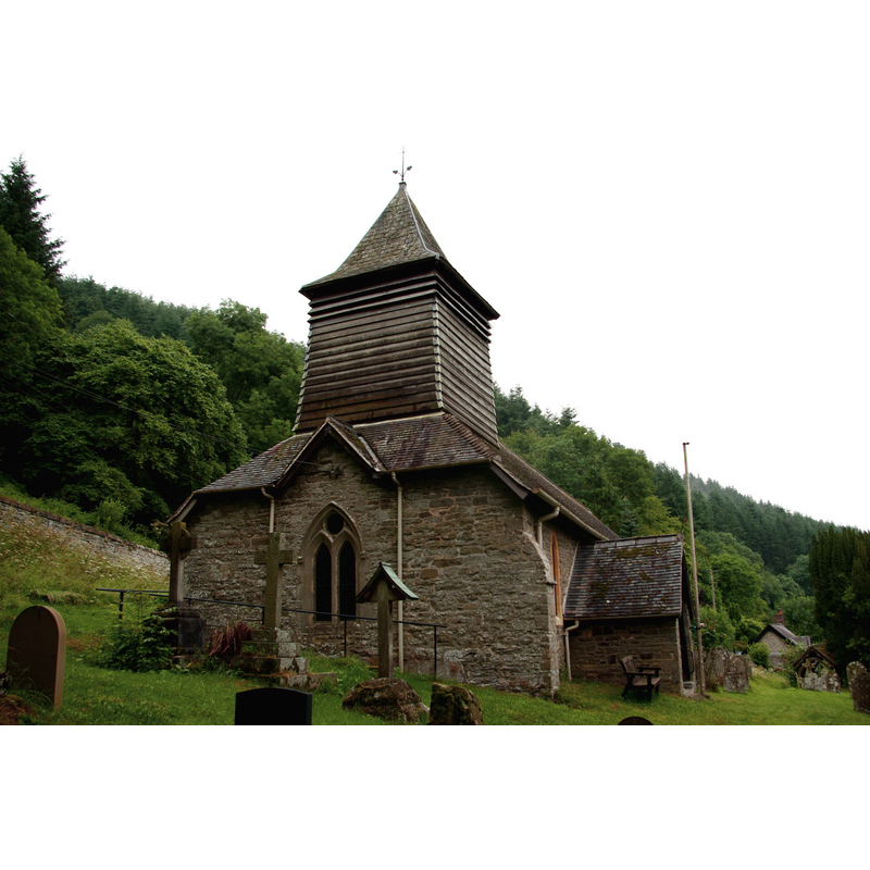
Image copyright © Tiger, 2017
CC-BY-SA-2.0
Results: 3 records
view of church exterior - west view
Copyright Statement: Image copyright © Tiger, 2017
Image Source: digital photograph taken 28 June 2017 by Tiger [www.geograph.org.uk/photo/5448820] [accessed 6 August 2019]
Copyright Instructions: CC-BY-SA-2.0
view of church exterior - southeast view
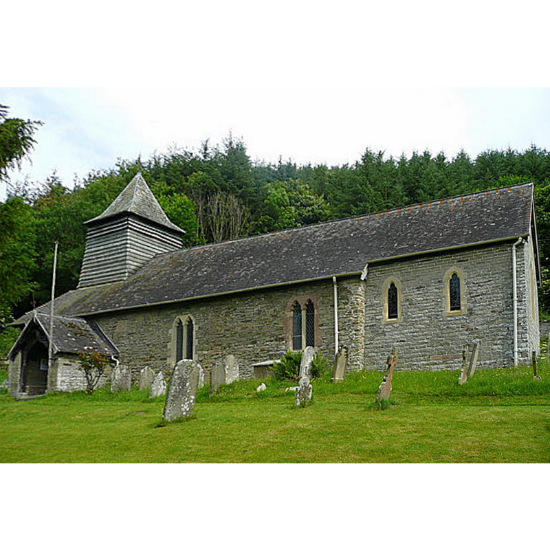
Copyright Statement: Image copyright © Jonathan Billinger, 2008
Image Source: edited detail of a digital photograph taken 1 July 2008 by Jonathan Billinger [www.geograph.org.uk/photo/869920] [accessed 6 August 2019]
Copyright Instructions: CC-BY-SA-2.0
view of church interior - looking east
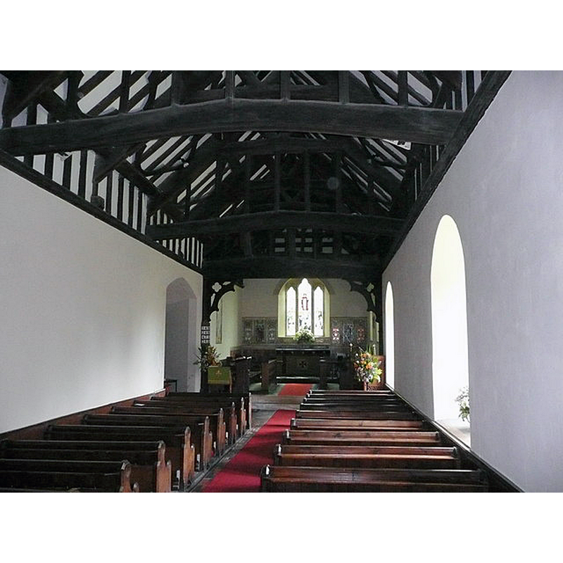
Copyright Statement: Image copyright © Jonathan Billinger, 2008
Image Source: digital photograph taken 1 July 2008 by Jonathan Billinger [www.geograph.org.uk/photo/869928] [accessed 6 August 2019]
Copyright Instructions: CC-BY-SA-2.0
INFORMATION
Font ID: 16457STO
Object Type: Baptismal Font1?
Font Century and Period/Style: 13th century (mid?), Early English
Church / Chapel Name: Parish Church of St. Michael
Font Location in Church: [cf. FontNotes]
Church Patron Saint(s): St. Michael
Church Address: Stowe, Knighton LD7 1ND . UK
Site Location: Shropshire, West Midlands, England, United Kingdom
Directions to Site: Located off (E) the A488, 2-3 km NE of Knighton, S of Clun, at the Herefordshire and Powys border
Ecclesiastic Region: Diocese of Hereford
Historical Region: Hundred of Purslow
Additional Comments: disappeared font?
Font Notes:
Click to view
No individual entry for this Stowe found in the Domesday survey. Anderson (1864) reports that the church of Stowe was valued in the 1291 taxation. The entry for this church in Historic England [Listing NGR: SO3100673697] notes: "Parish church. Probably mid-C13 with late C17 bellcote, restored in late C19, when chancel was rebuilt. [...] Majority of fittings and furnishings including benches, pulpit and octagonal font are mid-to late C19. [NB: we have no information on its medieval font]
COORDINATES
UTM: 30U 499040 5800752
Latitude & Longitude (Decimal): 52.35705, -3.0141
Latitude & Longitude (DMS): 52° 21′ 25.38″ N, 3° 0′ 50.76″ W
REFERENCES
- Anderson, John Corbet, Shropshire, its early history and antiquities, comprising […], London: Willis and Sotheran, 1864, p. 479