Monkhopton / Monk Hopton
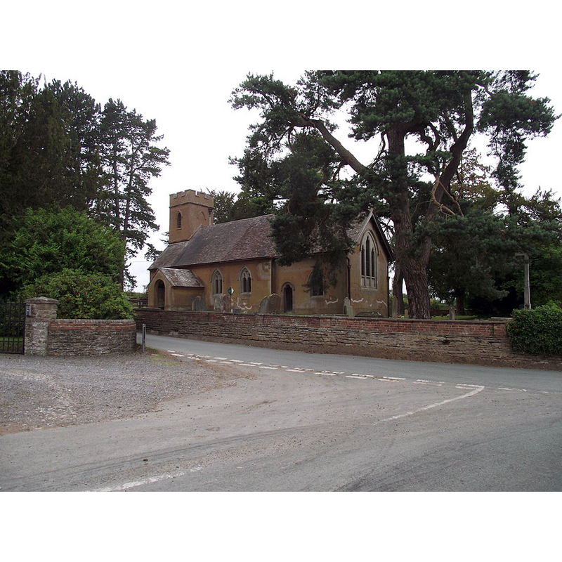
Image copyright © Anthony Vosper, 2011
CC-BY-SA-2.0
Results: 1 records
view of church exterior - southeast view
Copyright Statement: Image copyright © Anthony Vosper, 2011
Image Source: digital photograph taken 28 July 2011 by Anthony Vosper [www.geograph.org.uk/photo/2540508] [accessed 8 July 2015]
Copyright Instructions: CC-BY-SA-2.0
INFORMATION
Font ID: 16381MON
Object Type: Baptismal Font1?
Font Date: ca. 1180?
Font Century and Period/Style: 12th century (late?), Late Norman? / Transitional?
Church / Chapel Name: Parish Church of St. Peter
Church Patron Saint(s): St. Peter
Church Address: Monkhopton, Shropshire WV16 6SB
Site Location: Shropshire, West Midlands, England, United Kingdom
Directions to Site: Located 7 km S of Much Wenlock
Ecclesiastic Region: Diocdese of Hereford
Historical Region: Hundred of Munslow, Liberty and Borough of Wenlock
Additional Comments: disappeared font? (the one from the 12thC (?) church here)
Font Notes:
Click to view
No entry found for Monkhopton in the Domesday survey, but is believed to have been part of Oxenbold. The Victoria County History (Shropshire, vol. 10, 1998) notes, after Eyton (1854- ): "The earliest fabric of Monkhopton church is 12th-century and a chaplain was mentioned c. 1180", but the "plain hexagonal font" is dated 19th-century. [NB: we have no information on the earlier font of this church]
COORDINATES
UTM: 30U 530228 5820979
Latitude & Longitude (Decimal): 52.53806, -2.554315
Latitude & Longitude (DMS): 52° 32′ 17.02″ N, 2° 33′ 15.53″ W
REFERENCES
- Victoria County History [online], University of London, 1993-. URL: https://www.british-history.ac.uk.