Little Wenlock / Wenloch
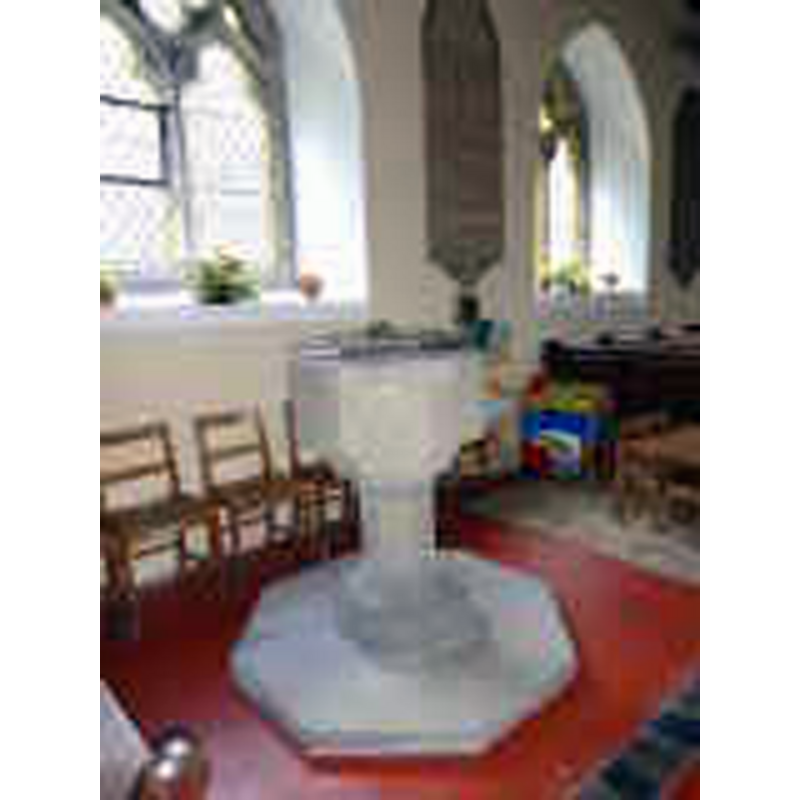
Image copyright © search.ancestry.ca, 2015
No known copyright restriction / Fair Dealing
Results: 2 records
view of font
Copyright Statement: Image copyright © search.ancestry.ca, 2015
Image Source: digital photograph in search.ancestry.ca
Copyright Instructions: No known copyright restriction / Fair Dealing
view of church exterior - north view
![EXT N digital photograph taken 18 May 2004 by Geoff Pick [www.geograph.org.uk/photo/119014] [accessed 9 July 2015]
FONT (no better res avail) digital photograph in search.ancestry.ca](/static-50478a99ec6f36a15d6234548c59f63da52304e5/compressed/1150927002_compressed.png)
Scene Description: EXT N digital photograph taken 18 May 2004 by Geoff Pick [www.geograph.org.uk/photo/119014] [accessed 9 July 2015]
FONT (no better res avail) digital photograph in search.ancestry.ca
Copyright Statement: Image copyright © Geoff Pick, 2004
Image Source: digital photograph taken 18 May 2004 by Geoff Pick [www.geograph.org.uk/photo/119014] [accessed 9 July 2015]
Copyright Instructions: CC-BY-SA-2.0
INFORMATION
Font ID: 16360WEN
Object Type: Baptismal Font1?
Font Century and Period/Style: 12th century, Late Norman
Church / Chapel Name: Parish Church of St. Lawrence
Church Patron Saint(s): St. Lawrence [aka Laurence]
Church Address: Church Lane, Little Wenlock, Shropshire, TF6 5AZ
Site Location: Shropshire, West Midlands, England, United Kingdom
Directions to Site: Located 5 km S of Wellington, 8 km NE of Much Wenlock
Ecclesiastic Region: Diocese of Hereford
Historical Region: Hundred of Patton [in Domesday] -- Liberty and Borough of Wenlock
Additional Comments: disappeared font?
Font Notes:
Click to view
There is an entry for [Little] Wenlock [variant spelling] in the Domesday survey [http://opendomesday.org/place/SJ6406/little-wenlock/] [accessed 9 July 2015], but it mentions neither cleric nor church in it. The Victoria County History (Shropshire, vol. 11, 1985) notes: "There was a church probably by the 12th century. [...] The vestry (formerly the chancel), which is exceptionally small internally and has thick walls, has a small blocked window, probably of the 12th century, in the north wall. [...] An 18th-century oval stone font [...] stands in the aisle."
COORDINATES
UTM: 30U 532048 5834005
Latitude & Longitude (Decimal): 52.655056, -2.526228
Latitude & Longitude (DMS): 52° 39′ 18.2″ N, 2° 31′ 34.42″ W
REFERENCES
- Victoria County History [online], University of London, 1993-. URL: https://www.british-history.ac.uk.