Great Ness / Nessham / Ness Strange / Nesse Extranea / Nessham
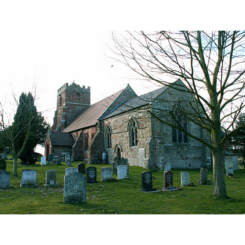
Image copyright © Keith Havercroft, 2006
CC-BY-SA-2.5
Results: 1 records
view of church exterior in context - southeast view
Scene Description: Source caption: "The church at Great Ness, Shropshire, from the east"
Copyright Statement: Image copyright © Keith Havercroft, 2006
Image Source: digital photograph 5 March 2006 by Keith Hovercroft [www.geograph.org.uk/photo/132403] [accessed 17 August 2021]
Copyright Instructions: CC-BY-SA-2.5
INFORMATION
Font ID: 16319NES
Object Type: Baptismal Font1?
Font Century and Period/Style: 11th century, Pre-Conquest
Church / Chapel Name: Parish Church of St. Andrew
Font Location in Church: [cf. FontNotes]
Church Patron Saint(s): St. Andrew
Church Notes: Anglo-Saxon collegiate church; present church 13thC with later modifications
Church Address: Rodefern Ln, Great Ness, Shrewsbury SY4 2LD, UK -- Tel.: +44 1939 261234
Site Location: Shropshire, West Midlands, England, United Kingdom
Directions to Site: Located off (E) the A5 [Nescliffe Bypass]. about 10 km NW of Shrewsbury
Ecclesiastic Region: Diocese of Lichfield
Historical Region: Hundred of Baschurch
Additional Comments: disappeared font?
Font Notes:
Click to view
There is an entry for [Great] Ness [vatiant spelling] in the Domesday survey [https://opendomesday.org/place/SJ3919/great-ness/] [accessed 17 August 2021]; it reports "1 church. 0.25 church lands" in it. Anderson (1864) points out a manorial church in "Nesham" mentioned in Domesday, and states that it was "a Saxon collegiate church […] given by the Norman earl, before Domesday, to Shrewsbury Abbey". The entry for this church in Historic England [Listing NGR: SJ3976019032] notes: "Great Ness church was a Saxon collegiate foundation and is mentioned in the Domesday Book. [...] Parish church. C13 nave, C13 tower with belfry rebuilt or added in the C17, early C14 chancel and late C19 vestry. Chancel reroofed 1852 and the church partly restored in 1880 [...] Plain octagonal stone font dated 1850 with wooden cover." [NB: we have no information on the medieval font of this church]
COORDINATES
UTM: 30U 507132 5846190
Latitude & Longitude (Decimal): 52.7655, -2.8943
Latitude & Longitude (DMS): 52° 45′ 55.8″ N, 2° 53′ 39.48″ W
REFERENCES
- Anderson, John Corbet, Shropshire, its early history and antiquities, comprising […], London: Willis and Sotheran, 1864, p. 411-412