Astley Abbots / Astley Abbot / Astley Abbotts
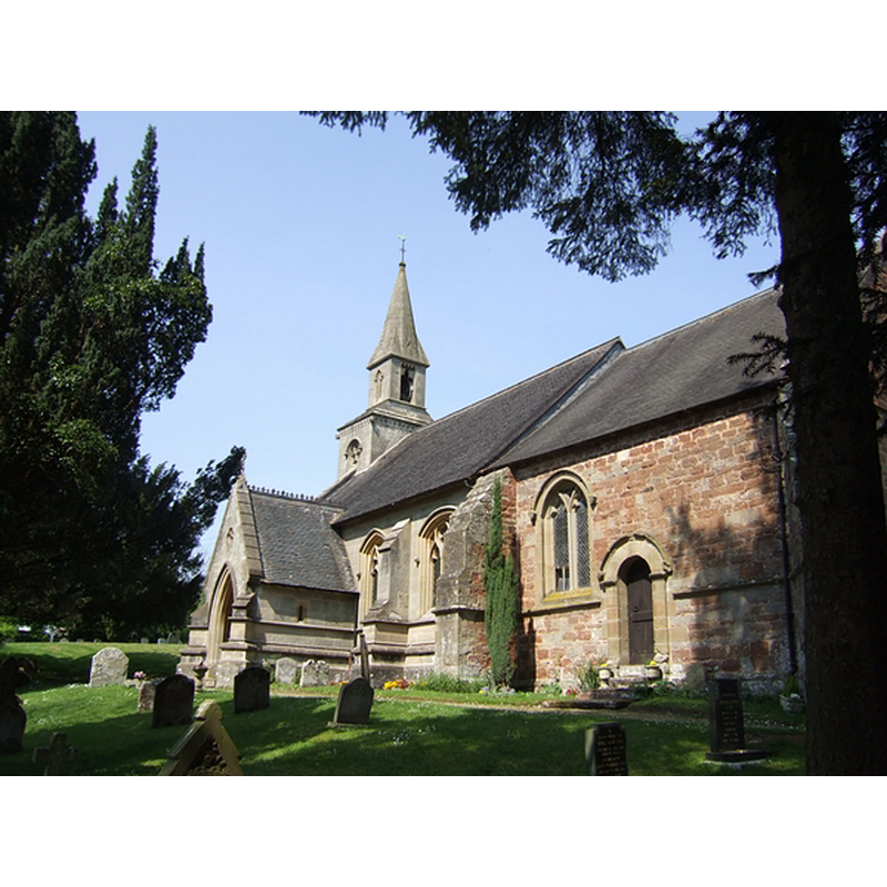
Image copyright © John W, 2007
CC-BY-SA-2.0
Results: 4 records
view of church exterior - southeast view
Copyright Statement: Image copyright © John W, 2007
Image Source: digital photograph taken 28 April 2007 by John M [www.geograph.org.uk/photo/415943] [accessed 21 January 2015]
Copyright Instructions: CC-BY-SA-2.0
view of church exterior in context - northwest view
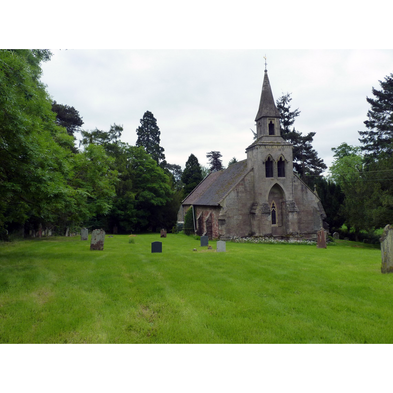
Copyright Statement: Image copyright © Richard Law, 2012
Image Source: digital photograph taken 5 June 2012 by Richard Law [www.geograph.org.uk/photo/2982084] [accessed 21 January 2015]
Copyright Instructions: CC-BY-SA-2.0
view of church interior - nave - looking east
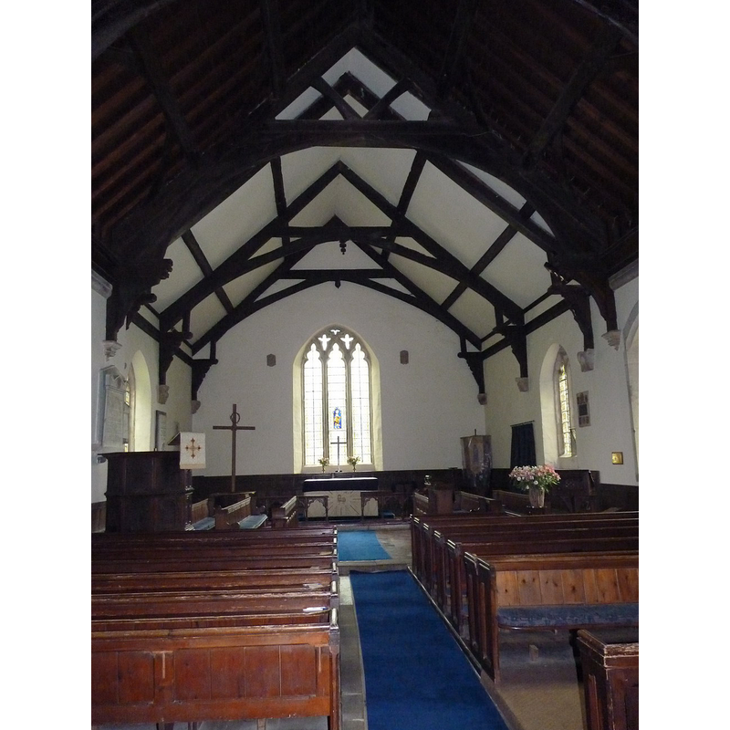
Copyright Statement: Image copyright © Richard Law, 2012
Image Source: digital photograph taken 5 June 2012 by Richard Law [www.geograph.org.uk/photo/2982061] [accessed 21 January 2015]
Copyright Instructions: CC-BY-SA-2.0
design element - motifs - moulding


INFORMATION
Font ID: 16231AST
Object Type: Baptismal Font1
Font Century and Period/Style: 11th - 12th century, Norman
Church / Chapel Name: Parish Church of St. Calixtus
Font Location in Church: Inside the church
Church Patron Saint(s): St. Calixtus
Church Notes: "consecrated in 1138 by Bishop Betton. It is mainly Norman with Anglo-Saxon roots" [source: http://www.achurchnearyou.com/astley-abbotts-st-calixtus/] [accessed 21 January 2015]]
Church Address: Astley Abbotts, Shropshire WV16 4SW
Site Location: Shropshire, West Midlands, England, United Kingdom
Directions to Site: Located on the B4373, 3 km N of Bridgnorth
Ecclesiastic Region: Diocese of Hereford [formerly in the Diocese of Litchfield and Coventry]
Historical Region: Hundred of Stottesden
Font Notes:
Click to view
Lewis (1848) writes: "The church, which is in the later English style, was built in 1638; the chancel is of modern date". obviously referring to the present church. Anderson (1864) quotes the Salop Abbey Chartulary, in which Astley Abbotts is identified as 'chapel of Estleya' and yielding a pension to Salop Abbey; at the time of Domesday, 1086, it belonged to Morville. Wilson (1870-1872) reports the church here as "Saxon, in tolerable condition". Kelly's Directory of Shropshire (1895) reports "a font of Norman date" in this church. Timmins (1899) writes: "the Norman font and richly carved Jacobean pulpit are worth a passing glance". English Heritage [Building ID: 254294] (1970) notes: "church is first mentioned in 1138 as a chapel of Morville [...] The plain tub-shaped lead-lined font on a broad pedestal with roll moulding and square base is late Norman."
COORDINATES
UTM: 30U 538590 5823775
Latitude & Longitude (Decimal): 52.562667, -2.430709
Latitude & Longitude (DMS): 52° 33′ 45.6″ N, 2° 25′ 50.55″ W
MEDIUM AND MEASUREMENTS
Material: stone
Font Shape: tub-shaped
Drainage Notes: lead-lined
REFERENCES
- Anderson, John Corbet, Shropshire, its early history and antiquities, comprising […], London: Willis and Sotheran, 1864, p. 6
- Timmins, H. Thornhill, Nooks and corners of Shropshire, London: Elliot Stock, 1899, p. 187