Tynemouth
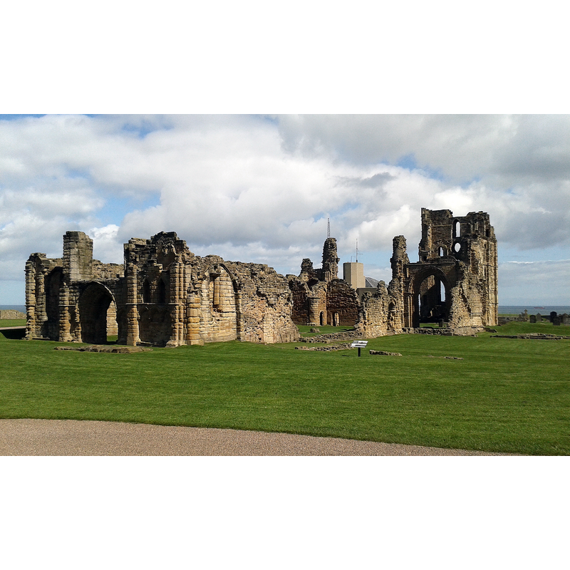
Image copyright © Hadrianus1959, 2016
CC-BY-SA-4.0
Results: 2 records
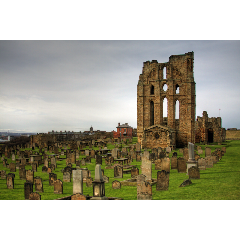
view of church exterior - southwest view
Scene Description: Source caption: "Tynemouth Priory Church"
Copyright Statement: Image copyright © Hadrianus1959, 2016
Image Source: digital photograph 18 April 2016 by Hadrianus1959 [https://commons.wikimedia.org/wiki/File:Tynemouth_Priory_Church.jpg] [accessed 15 April 2024]
Copyright Instructions: CC-BY-SA-4.0
view of church exterior in context
Scene Description: Source caption: "Tynemouth Castle and Priory, an English Heritage site."
Copyright Statement: Image copyright © A. Nolan, 2011
Image Source: digital photograph 5 February 2011 by A. Nolan [https://commons.wikimedia.org/wiki/File:Tynemouth_Castle_and_Priory.jpg] [accessed 15 April 2024]
Copyright Instructions: CC-BY-SA-3.0
INFORMATION
Font ID: 16083TYN
Object Type: Baptismal Font1?
Font Century and Period/Style: 12th century, Norman
Church / Chapel Name: Priory Church of St. Mary and St. Oswin, Tynemouth [in ruins]
Font Location in Church: [cf. FontNotes]
Church Patron Saint(s): St. Mary the Virgin & St. Oswin
Church Notes: may have been founded 7thC; long history of destruction, re-founding and re-building on the site; suppresed 1539; Henry VIII destroyed the shrine of St Oswine, bringing the priory to an end
Church Address: Pier Rd, Tynemouth, North Shields NE30 4BZ, UK
Site Location: Tyne and Wear, North East, England, United Kingdom
Directions to Site: Located off the A193, 14-15 km E of Newcastle-upon-Tyne, by Whitley Bay
Font Notes:
Click to view
[NB: we have no information on the font of the Norman priory church now in ruins]
COORDINATES
UTM: 30U 601092 6097882
Latitude & Longitude (Decimal): 55.0175, -1.4189
Latitude & Longitude (DMS): 55° 1′ 3″ N, 1° 25′ 8.04″ W