Ditton / Dictune
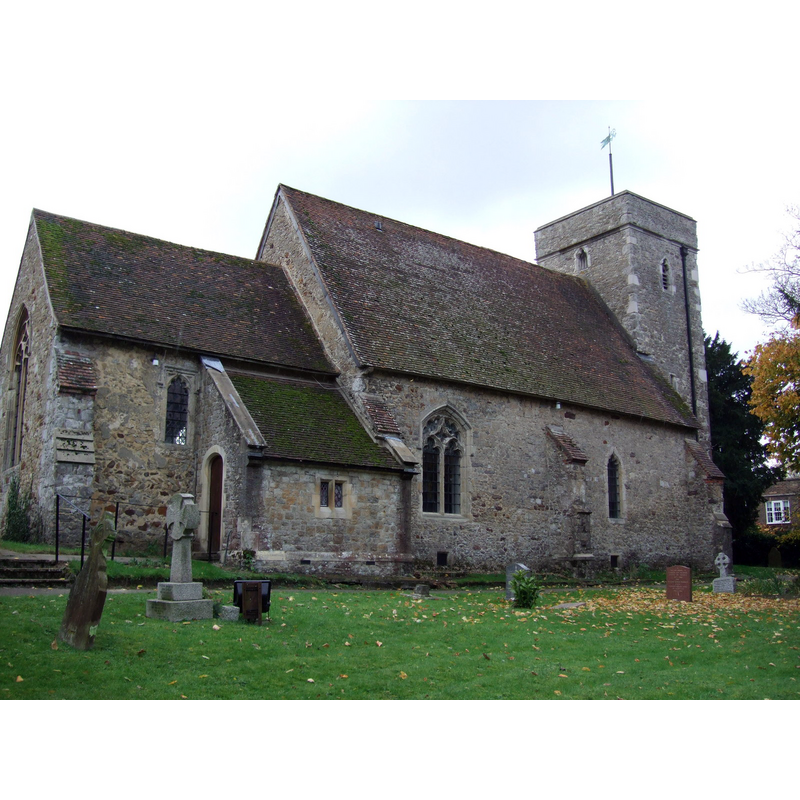
Image copyright © Dave Kelly, 2010
CC-BY-SA-2.0
Results: 1 records
view of church exterior - northeast view
Copyright Statement: Image copyright © Dave Kelly, 2010
Image Source: digital photograph taken 7 November 2010 [www.geograph.org.uk/photo/3253612] [accessed 30 August 2015]
Copyright Instructions: CC-BY-SA-2.0
INFORMATION
Font ID: 16049DIT
Object Type: Baptismal Font1?
Font Century and Period/Style: 11th century, Pre-Conquest? / Norman
Church / Chapel Name: Parish Church of St. Peter ad vincula
Church Patron Saint(s): St. Peter
Church Notes: originally 12thC church
Church Address: New Road, Ditton, Kent ME20 6PG
Site Location: Kent, South East, England, United Kingdom
Directions to Site: Located off (S) the A20, 6 km WNW of Maidstone
Ecclesiastic Region: Diocese of Rochester
Historical Region: Hundred of Larkfield
Additional Comments: disappeared font? (the one from the Domesday-time church here)
Font Notes:
Click to view
There is an entry for this Ditton [variant spelling] in the Domesday survey [http://opendomesday.org/place/TQ7058/ditton/] [accessed 30 August 2015], and it mentions a church in it. Halstead (vol. 4, 1798) notes: "The church of Ditton was given, in the reign of king Henry II [1154-1189] [...] to the canons of the priory of Ledes", but mentions no font in it. No font is mentioned in Glynne (1877) either. [NB: we have no information on the font of the original Domesday-time church here].
COORDINATES
UTM: 31U 322317 5685765
Latitude & Longitude (Decimal): 51.295448, 0.451411
Latitude & Longitude (DMS): 51° 17′ 43.61″ N, 0° 27′ 5.08″ E
REFERENCES
- Hasted, Edward, The History and topographical survey of the County of Kent [...], Canterbury: Printed for the author, by Simmons and Kirkby, 1778-, vol. 4: 455-463 / [www.british-history.ac.uk/survey-kent/vol4/pp455-463] [accessed 30 August 2015]