Iwade / Warde
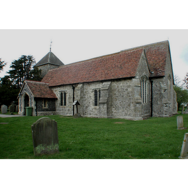
Image copyright © John Salmon, 2002
CC-BY-SA-3.0
Results: 2 records
view of church exterior - southeast view
Copyright Statement: Image copyright © John Salmon, 2002
Image Source: digital photograph taken 27 April 2002 by John Salmon [www.geograph.org.uk/photo/324737] [accessed 8 September 2013]
Copyright Instructions: CC-BY-SA-3.0
view of church interior - chancel
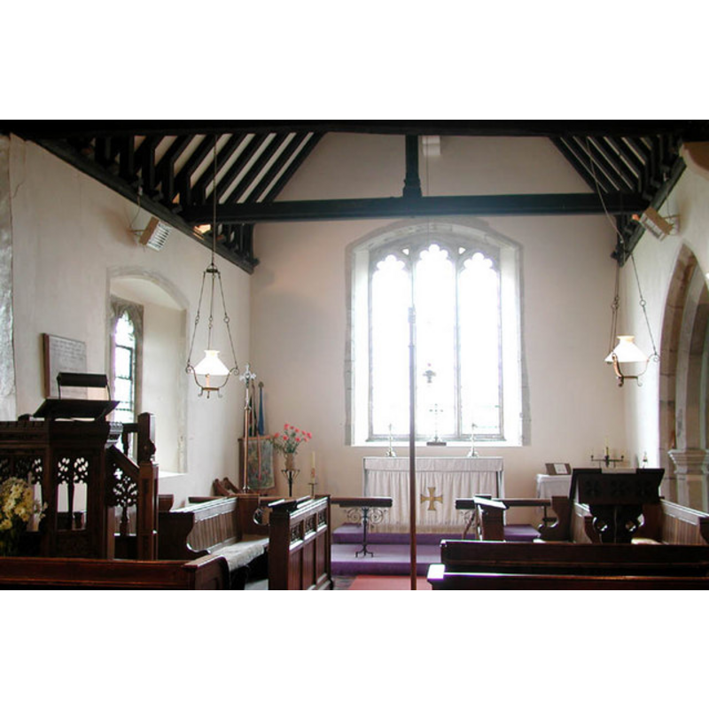
Copyright Statement: Image copyright © John Salmon, 2002
Image Source: digital photograph taken 27 April 2002 by John Salmon [www.geograph.org.uk/photo/324739] [accessed 8 September 2013]
Copyright Instructions: CC-BY-SA-3.0
INFORMATION
Font ID: 16001IWA
Object Type: Baptismal Font1
Font Century and Period/Style: 15th century, Perpendicular
Church / Chapel Name: Parish Church of All Saints [formerly a chapel-of-ease to Tenham]
Font Location in Church: Inside the church
Church Patron Saint(s): All Saints
Church Address: 27 The Street, Iwade, Kent, ME9 8SJ
Site Location: Kent, South East, England, United Kingdom
Directions to Site: Located near Sittingbourne
Ecclesiastic Region: Diocese of Canterbury
Historical Region: Hundred of Milton [aka Middleton] -- Lath of Sherwinhope [aka Scray, Wiwarlet]
Additional Comments: disappeared font? (the one from the 13thC church here)
Font Notes:
Click to view
No entry for Iwade found in the Domesday survey. Halsted (1798) writes: "he church, which is dedicated to All Saints, is a small neat building, consists of two isles and two chancels, having a low pointed steeple, in which are two bells. There is some good painted glass in the windows of it. It was formerly esteemed as a chapel to the church of Tenham, and as such, was given and appropriated with it to the archdeaconry of Canterbury, by archbishop Stephen Langton, in 1227." On his visit to this church Glynne (1877) notes: "The font has an octagonal bowl, on stem of like form." Glynne (ibid.) also notes a stoup near the south door, but gives no details of it. The Iwade website [www.iwadevillage.co.uk/communitychurch.shtml] [accessed 10 February 2010] dates its font to the 15th century. [NB: we have no information on the font from the early-13th century church here].
COORDINATES
UTM: 31U 342068 5694380
Latitude & Longitude (Decimal): 51.378666, 0.730634
Latitude & Longitude (DMS): 51° 22′ 43.2″ N, 0° 43′ 50.28″ E
MEDIUM AND MEASUREMENTS
Material: stone
Font Shape: octagonal, mounted
Basin Exterior Shape: octagonal
REFERENCES
- Glynne, Steven Richard, Sir, Notes on the churches of Kent, London: John Murray, 1877, p. 192
- Hasted, Edward, The History and topographical survey of the County of Kent [...], Canterbury: Printed for the author, by Simmons and Kirkby, 1778-, vol. 6: 203-208 / [www.british-history.ac.uk/report.aspx?compid=62959] [accessed 8 September 2013]