Bobbing
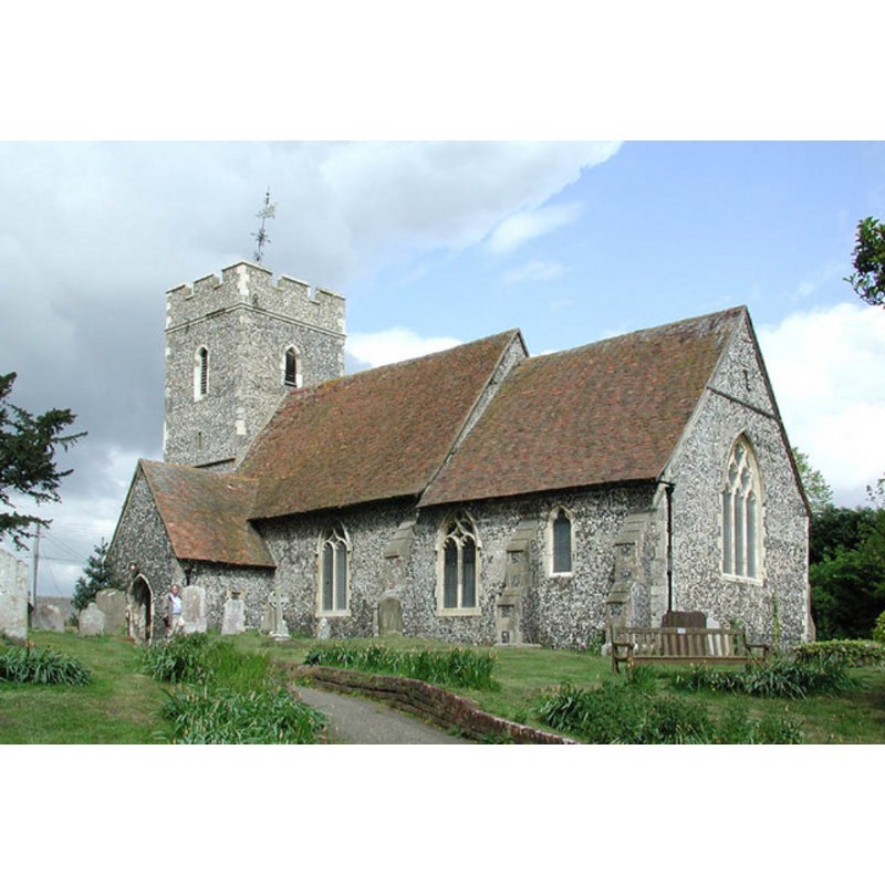
Image copyright © John Salmon, 2002
CC-BY-SA-3.0
Results: 2 records
view of church exterior - southeast view
Copyright Statement: Image copyright © John Salmon, 2002
Image Source: digital photograph taken 27 April 2002 by John Salmon [www.geograph.org.uk/photo/324735] [accessed 8 September 2013]
Copyright Instructions: CC-BY-SA-3.0
view of church interior - nave - looking east
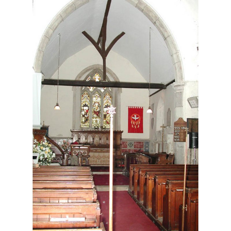
Copyright Statement: Image copyright © John Salmon, 2002
Image Source: digital photograph taken 27 April 2002 by John Salmon [www.geograph.org.uk/photo/324734] [accessed 8 September 2013]
Copyright Instructions: CC-BY-SA-3.0
INFORMATION
Font ID: 16000BOB
Object Type: Baptismal Font1
Font Century and Period/Style: 13th - 14th century, Medieval
Church / Chapel Name: Parish Church of St. Bartholomew
Font Location in Church: Inside the church
Church Patron Saint(s): St. Bartholomew
Church Address: Sheppey Way, Bobbing, Kent, ME9 8PN
Site Location: Kent, South East, England, United Kingdom
Directions to Site: Located 2 km NW of Sittingbourne
Ecclesiastic Region: Diocese of Canterbury
Historical Region: Hundred of Milton [aka Middleton] -- Lath of Sherwinhope [aka Scray, Wiwarlet]
Additional Comments: [no other source for data or image found on this font -- Sept 2013]
Font Notes:
Click to view
No entry for Bobbing found in the Domesday survey. Halsted (1798) writes: "The church of Bobbing was given by Henry III. in his 18th year [i.e., 1234], to the monastery of St. Mary and St. Sexburgh, in the Isle, of Shepey [...] The church, which is dedicated to St. Bartholomew, consists of two small isles and two chancels, having a tall spire steeple at the west end of it, in which are five bells." The font at the time of his visit to this church was noted in Glynne (1877): "The font has a plain octagonal bowl, on stem of like form."
COORDINATES
UTM: 31U 340549 5691647
Latitude & Longitude (Decimal): 51.353692, 0.710045
Latitude & Longitude (DMS): 51° 21′ 13.29″ N, 0° 42′ 36.16″ E
MEDIUM AND MEASUREMENTS
Material: stone
Font Shape: octagonal, mounted
Basin Interior Shape: round
Basin Exterior Shape: octagonal
REFERENCES
- Glynne, Steven Richard, Sir, Notes on the churches of Kent, London: John Murray, 1877, p. 191
- Hasted, Edward, The History and topographical survey of the County of Kent [...], Canterbury: Printed for the author, by Simmons and Kirkby, 1778-, vol. 6: 192-203 / [www.british-history.ac.uk/report.aspx?compid=62958] [accessed 8 September 2013]