Ewell nr. Dover / Æwille / Etwelle / Ewelle / Temple Ewell
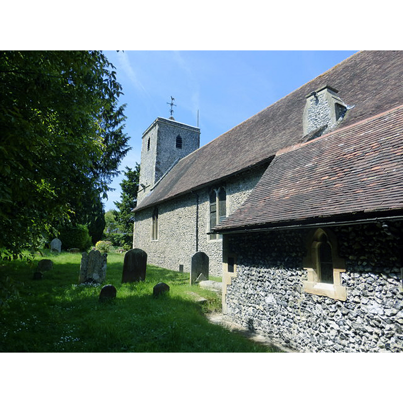
Image copyright © Pam Fray, 2015
CC-BY-SA-2.5
Results: 3 records
view of church exterior - southeast view
Scene Description: Source caption: "St. Peter and St.. Paul church, Temple Ewell. The church was built around 1160"
Copyright Statement: Image copyright © Pam Fray, 2015
Image Source: digital photograph 24 June 2015 by Pam Fray [https://www.geograph.org.uk/photo/4538785] [accessed 17 August 2023]
Copyright Instructions: CC-BY-SA-2.5
view of church exterior - southwest view
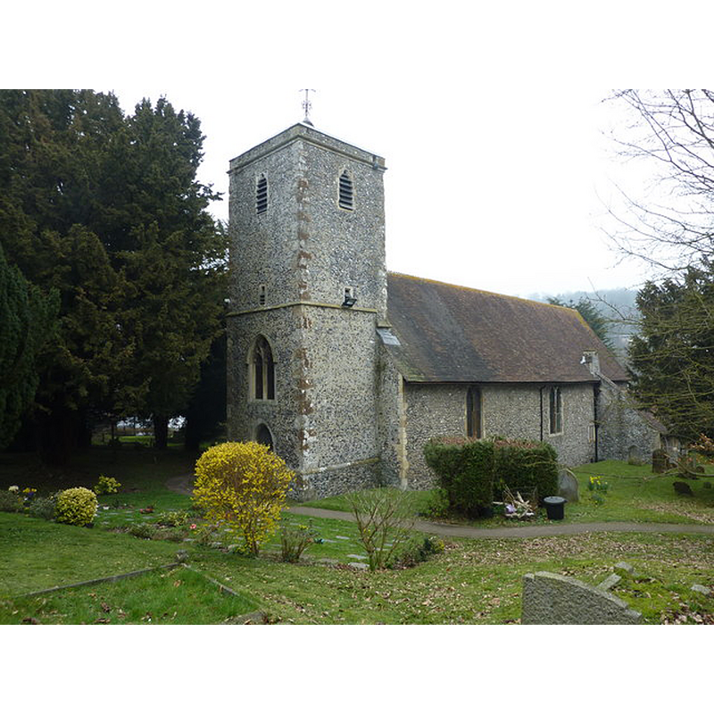
Scene Description: Source caption: "Church of St. Peter and St. Paul"
Copyright Statement: Image copyright © Pam Fray, 2011
Image Source: digital photograph 16 March 2011 by Pam Fray [https://www.geograph.org.uk/photo/2309797] [accessed 17 August 2023]
Copyright Instructions: CC-BY-SA-2.5
view of church interior - looking east
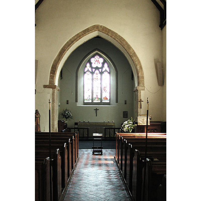
Scene Description: Source caption: "St Peter & St Paul, Temple Ewell, Kent - East end"
Copyright Statement: Image copyright © John Salmon, 2004
Image Source: digital photograph 27 July 2004 by John Salmon [https://www.geograph.org.uk/photo/325570] [accessed 17 August 2023]
Copyright Instructions: CC-BY-SA-2.5
INFORMATION
Font ID: 15975EWE
Object Type: Baptismal Font1?
Font Century and Period/Style: 19th century, Victorian
Church / Chapel Name: Parish Church of St. Peter and St. Paul
Font Location in Church: [cf. FontNotes]
Church Patron Saint(s): St. Peter & St. Paul
Church Notes: woden church ca. 1060?; present church 12thC with later modifications
Church Address: 9 High St, Temple Ewell, Dover CT16 3DU, UK
Site Location: Kent, South East, England, United Kingdom
Directions to Site: Located odd the A2-A256, 5-6 km NW of Dover
Ecclesiastic Region: Diocese of Canterbury
Additional Comments: disappeared font? (the one from the medieval church here)
Font Notes:
Click to view
Glynne (1877) notes: "The font is modern, but the old one is remembered". [NB: Glynne (ibid.) mentions Norman parts of this church, but we have no information on the date or whereabouts of the old font]. Listed in Historic England [Listing NGR: TR2861144264]: "Parish church. C12 and extended C13. C15 tower restored 1874 [...] Fittings all C19"
COORDINATES
UTM: 31U 378974 5668218
Latitude & Longitude (Decimal): 51.1526, 1.2695
Latitude & Longitude (DMS): 51° 9′ 9.36″ N, 1° 16′ 10.2″ E
MEDIUM AND MEASUREMENTS
Material: stone
REFERENCES
- Glynne, Steven Richard, Sir, Notes on the churches of Kent, London: John Murray, 1877, p. 139