Brough / Brough-under-Stainmore
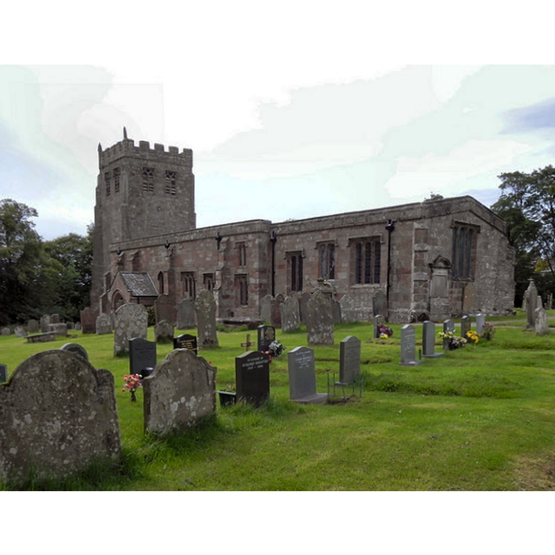
Image copyright © David Dixon, 2011
CC-BY-SA-2.0
Results: 3 records
view of church exterior - southeast view
Copyright Statement: Image copyright © David Dixon, 2011
Image Source: digital photograph taken 14 June 2011 by David Dixon [www.geograph.org.uk/photo/2484003] [accessed 28 July 2014]
Copyright Instructions: CC-BY-SA-2.0
view of church interior - nave - looking east
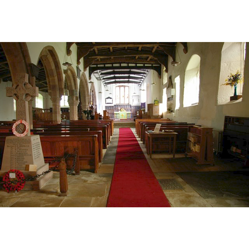
Copyright Statement: Image copyright © Tiger, 2011
Image Source: digital photograph taken 31 October 2011 by Tiger [www.geograph.org.uk/photo/2682999] [accessed 28 July 2014]
Copyright Instructions: CC-BY-SA-2.0
view of font and cover
![the present font [cf. Font notes]](/static-50478a99ec6f36a15d6234548c59f63da52304e5/others/permission_not_available.jpg)
Scene Description: the present font [cf. Font notes]
Copyright Statement: Image copyright © jmc4, 2008
Image Source: digital photograph taken 20 September 2008 by jmc4 [http://www.flickr.com/photos/52219527@N00/2988336235/] [accessed 31 January 2010]
Copyright Instructions: PERMISSION NOT AVAILABLE -- IMAGE NOT FOR PUBLIC USE
INFORMATION
Font ID: 15927BRO
Object Type: Baptismal Font1?
Font Century and Period/Style: 12th century (mid?), Late Norman
Church / Chapel Name: Parish Church of St. Michael
Font Location in Church: [cf. FontNotes]
Church Patron Saint(s): St. Michael
Church Address: Brough, Cumbria, CA174EJ
Site Location: Cumbria, North West, England, United Kingdom
Directions to Site: Located at the A66-A685 crossroads, 34 km SE of Penrith
Ecclesiastic Region: Diocese of Carlisle
Historical Region: formerly Westmorland
Additional Comments: disappeared font? / moved font / re-cycled font?
Font Notes:
Click to view
Curwen (1932) writes: "The church of Brough is first mentioned in an Award made by the Prior of Carlisle and others between Bishop Walter Malclerk (1223–46) and the Abbot of St. Mary's at York", and notes that the church was taxed as a rectory in 1291. A font here is noted in Scott (1899) as one of several instances of fonts having found their way from churches to private grounds [...] during recent years". [NB: unknown whether the font referred to in Scott was the one from the original mid-12th century church, or from the later 14th- or 16th-century expansions]. The present font in the church is probably 19th-century, a plain octagonal basin with a chamfered upper rim and tall underbowl, raised on an octagonal stem with mouldings at both ends, on an octagonal-to-square lower base; the octagonal wooden cover is modern.
COORDINATES
UTM: 30U 544124 6042191
Latitude & Longitude (Decimal): 54.525367, -2.318245
Latitude & Longitude (DMS): 54° 31′ 31.32″ N, 2° 19′ 5.68″ W
REFERENCES
- Curwen, John F., The Later Records relating to North Westmorland: or the Barony of Appleby, Kendal: T. Wilson, 1932, p. 94-109 / [www.british-history.ac.uk/report.aspx?compid=43504] [accessed 28 July 2014]
- Scott, Daniel, Bygone Cumberland and Westmorland, London: William Andrews & Co., 1899, p. 50