Branxton / Brankston
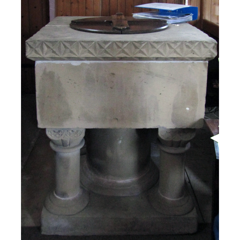
Image copyright © Colin Smith, 2018
Image and permission received from the author (e-mail of 14 October 2018)
Results: 7 records
view of font and cover - south side
Copyright Statement: Image copyright © Colin Smith, 2018
Image Source: digital photograph taken 11 June 2018 by Colin Smith
Copyright Instructions: Image and permission received from the author (e-mail of 14 October 2018)
view of font and cover in context - south side
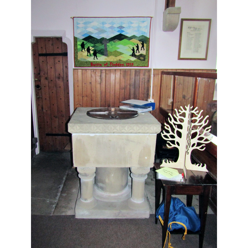
Copyright Statement: Image copyright © Colin Smith, 2018
Image Source: digital photograph taken 11 June 2018 by Colin Smith
Copyright Instructions: Image and permission received from the author (e-mail of 14 October 2018)
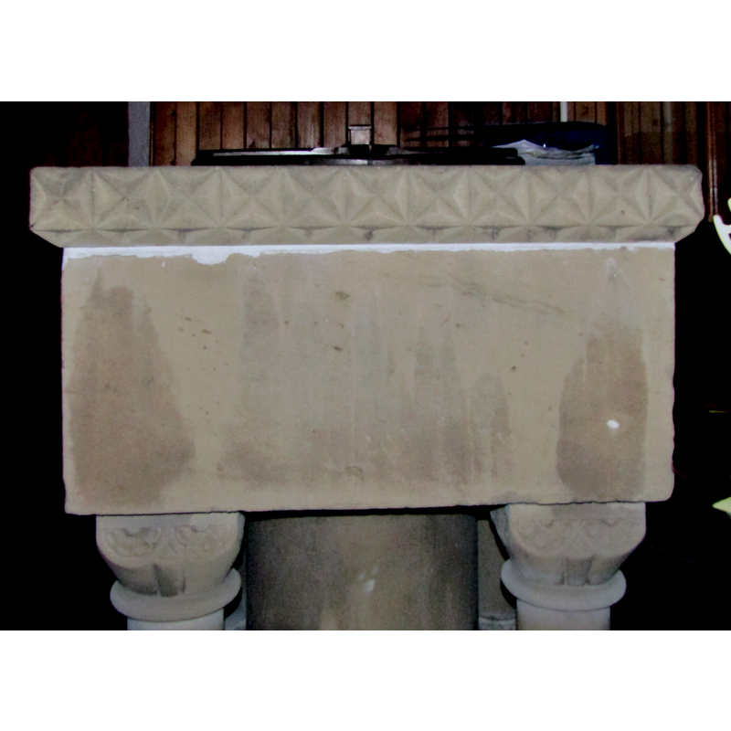
view of basin - south side
Copyright Statement: Image copyright © Colin Smith, 2018
Image Source: digital photograph taken 11 June 2018 by Colin Smith
Copyright Instructions: Image and permission received from the author (e-mail of 14 October 2018)
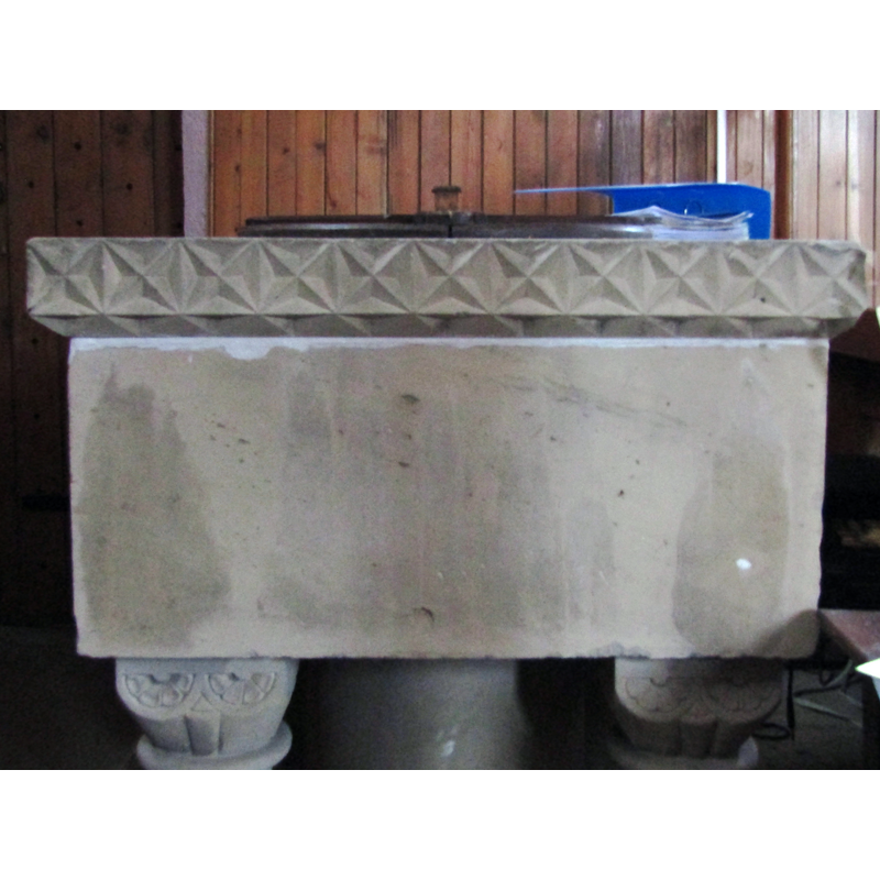
view of basin - south side
Copyright Statement: Image copyright © Colin Smith, 2018
Image Source: digital photograph taken 11 June 2018 by Colin Smith
Copyright Instructions: Image and permission received from the author (e-mail of 14 October 2018)
view of church exterior - south view
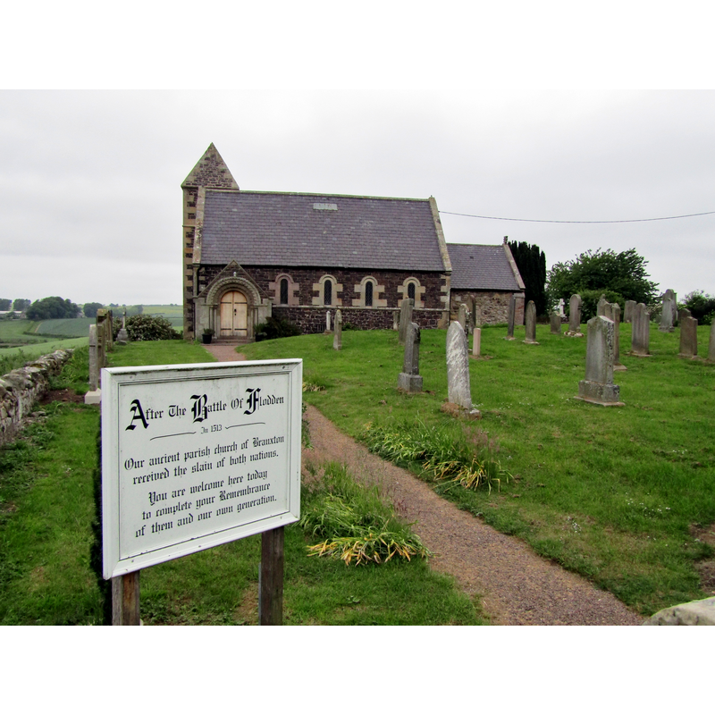
Scene Description: the sign outside the church refers to the Battle of Flodden, of 1513, also known as the Battle of Branxton, which was fought in the vecinity
Copyright Statement: Image copyright © Colin Smith, 2018
Image Source: digital photograph taken 11 June 2018 by Colin Smith
Copyright Instructions: Image and permission received from the author (e-mail of 14 October 2018)
view of church interior - nave - looking east
![phototaken from behind [west side of] the baptismal font](/static-50478a99ec6f36a15d6234548c59f63da52304e5/compressed/1181014039_compressed.png)
Scene Description: phototaken from behind [west side of] the baptismal font
Copyright Statement: Image copyright © Colin Smith, 2018
Image Source: digital photograph taken 11 June 2018 by Colin Smith
Copyright Instructions: Image and permission received from the author (e-mail of 14 October 2018)
view of church interior - nave - looking west
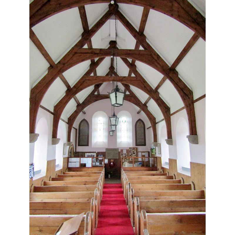
Copyright Statement: Image copyright © Colin Smith, 2018
Image Source: digital photograph taken 11 June 2018 by Colin Smith
Copyright Instructions: Image and permission received from the author (e-mail of 14 October 2018)
INFORMATION
Font ID: 15857BRA
Object Type: Baptismal Font1?
Font Century and Period/Style: 12th century, Late Norman
Church / Chapel Name: Parish Church of St. Paul
Church Patron Saint(s): St. Paul
Church Address: Flodden Crescent, Branxton, Cornhill-on-Tweed TD12 4SP, UK
Site Location: Northumberland, North East, England, United Kingdom
Directions to Site: Located 3 km ESE of Coldstream, ENE of Kelso, 5 km from the border with Scotland
Ecclesiastic Region: Diocese of Newcastle
Additional Comments: disappeared font (from the original 12thC church here)
Font Notes:
Click to view
The National Gazetteer of 1868 notes: "The church, dedicated to St. Paul, is a handsome stone edifice, rebuilt in 1849, the beautiful Norman arch in the chancel being the only portion of the old church preserved. The font is of Norman design, supported on four columns, but of modern workmanship." Wilson (1870) notes: "Branxton Church has been rebuilt. The ancient structure […] was taken down to the foundations about twenty years ago […] The font is modern, of Norman design. It si placed near the entrance at the west end." The entry for this church in Historic England [Listing NGR: NT8921137495] notes: "Parish church. Late C12 or early C13. Largely rebuilt 1849"; no font mentioned. [NB: we have no information on the earlier font of the original Norman church]
Credit and Acknowledgements: We are grateful to Colin Smith for his photographs of this church and font
COORDINATES
UTM: 30U 552364 6165315
Latitude & Longitude (Decimal): 55.6309, -2.1683
Latitude & Longitude (DMS): 55° 37′ 51.24″ N, 2° 10′ 5.88″ W
REFERENCES
- The National Gazetteer: a Topographical Dictionary of the British Isles, London: Virtue & Co., 1868, [transcribed in http://www.genuki.bpears.org.uk/NBL/Branxton/Gaz1868.html [accessed 18 January 2010]]
- Wilson, Frederick Richard, An architectural survey of the churches in the Archdeaconry of Lindisfarne, in the County of Northumberland, containing plans and views […], Newcastle-upon-Tyne: Printed and photo-lithographed by M. and M. W. Lambert, 1870, p. 50