Chapeltown / Old Turton
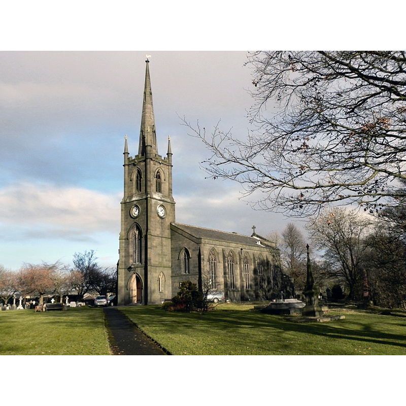
Image copyright © David Dixon, 2010
CC-BY-SA-2.0
Results: 1 records
view of church exterior - southwest view
Scene Description: EXT SW digital photograph taken 12 December 2010 by David Dixon [www.geograph.org.uk/photo/2194620] [accessed 11 March 2019]
Copyright Statement: Image copyright © David Dixon, 2010
Image Source: digital photograph taken 12 December 2010 by David Dixon [www.geograph.org.uk/photo/2194620] [accessed 11 March 2019]
Copyright Instructions: CC-BY-SA-2.0
INFORMATION
Font ID: 15761CHA
Object Type: Baptismal Font1
Font Century and Period/Style: 12th century, Norman
Church / Chapel Name: Parish Church of St. Anne
Font Location in Church: [cf. FontNotes]
Church Patron Saint(s): St. Anne
Church Notes: original church ca. 1111 chapel of ease in Bolton-le-Moors parish; dedicated to St. Bartholomew (re-dedicated to St. Anne 18thC); re-built several times, last in 1840s;
Church Address: High St, Chapeltown, Bolton BL7 0ER, UK
Site Location: Lancashire, North West, England, United Kingdom
Directions to Site: Located on the B6391, in North Turton
Ecclesiastic Region: Diocese of Manchester
Font Notes:
Click to view
The Chapeltown St. Anne's website [http://www.northturton.com/Chapeltown/st.annes_01.html] [accessed 2 December 2009] informs: "The Font. This is constructed of Caen Stone, supported on alabaster columns, and was presented to the church by the Revd. J.W. Spencer in 1899. Originally placed at the back of the church, it was moved forward in 1977 when the Broadhead Room was built. The older font was lost for a considerable time but now has re-appeared and is residing quietly in the locality."
COORDINATES
UTM: 30U 539474 5943321
Latitude & Longitude (Decimal): 53.63718, -2.40298
Latitude & Longitude (DMS): 53° 38′ 13.85″ N, 2° 24′ 10.73″ W