Friston nr. Saxmundham / Frisetuna
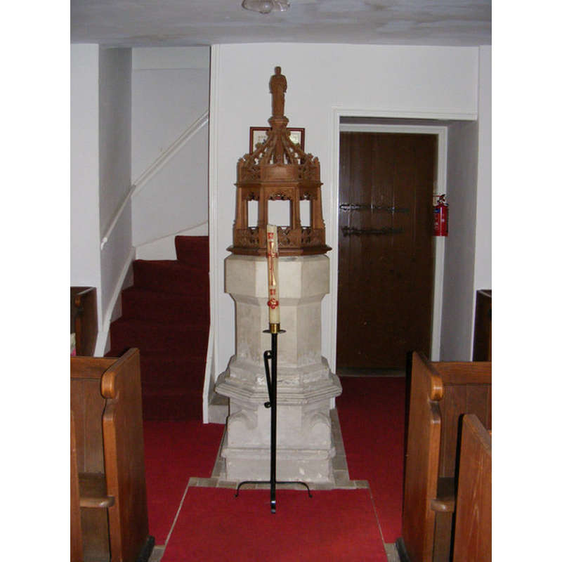
Image copyright © Adrian Cable, 2009
CC-BY-SA-2.5
Results: 5 records
view of font and cover in context
Copyright Statement: Image copyright © Adrian Cable, 2009
Image Source: digital photograph taken 20 July 2009 by Adrian Cable [www.geograph.org.uk/photo/1436224] [accessed 16 January 2013]
Copyright Instructions: CC-BY-SA-2.5
view of basin?
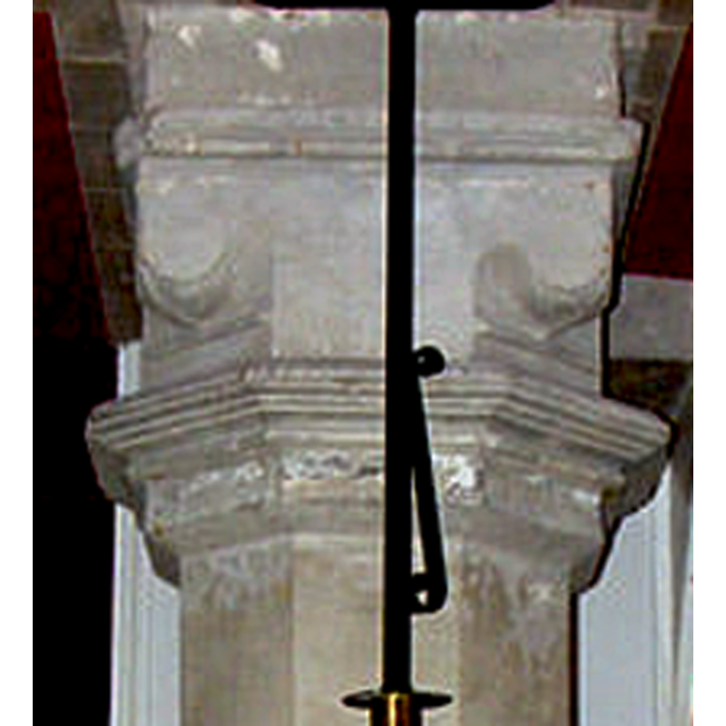
Scene Description: seen here *rotated 180 degrees* is the lower base of the font in this church; this part is claimed to be the basin of the medieval font
Copyright Statement: Image copyright © Adrian Cable, 2009
Image Source: detail of a digital photograph taken 20 July 2009 by Adrian Cable [www.geograph.org.uk/photo/1436224] [accessed 16 January 2013]
Copyright Instructions: CC-BY-SA-2.5
view of church exterior - northwest view
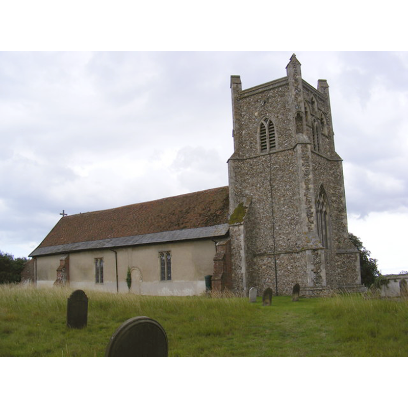
Copyright Statement: Image copyright © Adrian Cable, 2009
Image Source: digital photograph taken 20 July 2009 by Adrian Cable [www.geograph.org.uk/photo/1436212] [accessed 16 January 2013]
Copyright Instructions: CC-BY-SA-2.5
view of church exterior - southwest view
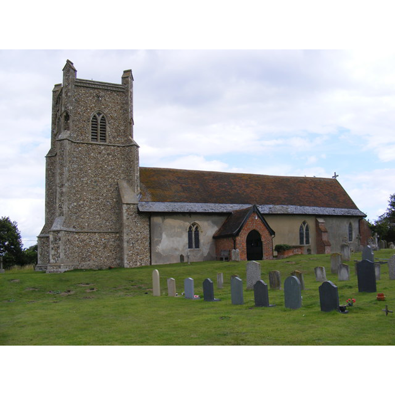
Copyright Statement: Image copyright © Adrian Cable, 2009
Image Source: digital photograph taken 20 July 2009 by Adrian Cable [www.geograph.org.uk/photo/1436210] [accessed 16 January 2013]
Copyright Instructions: CC-BY-SA-2.5
view of church interior - nave - looking east
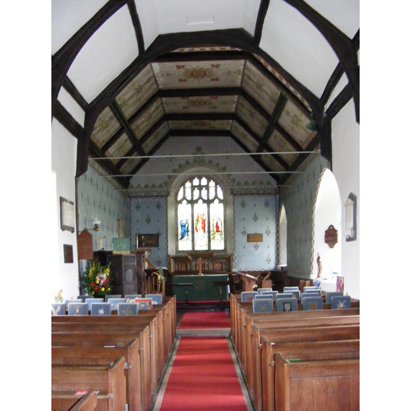
Copyright Statement: Image copyright © Adrian Cable, 2009
Image Source: digital photograph taken 20 July 2009 by Adrian Cable [www.geograph.org.uk/photo/1436226] [accessed 16 January 2013]
Copyright Instructions: CC-BY-SA-2.5
INFORMATION
Font ID: 15599FRI
Object Type: Baptismal Font1
Font Century and Period/Style: 13th - 15th century [basin only?] [composite font], Medieval [composite]
Church / Chapel Name: Parish Church of St. Mary [aka St. Mary Magdalene?]
Font Location in Church: Inside the church, at the W end of the nave
Church Patron Saint(s): St. Mary the Virgin
Church Address: Friston, Suffolk, IP17 1PX
Site Location: Suffolk, East Anglia, England, United Kingdom
Directions to Site: Located off (N) the A1094, 5 km SE of Saxmundham, 6 km NW of Aldeburgh
Ecclesiastic Region: Diocese of St. Edmundsbury & Ipswich
Additional Comments: altered font: the present base is claimed to be the basin of the earlier font here [cf. FontNotes and ImagesArea]
Font Notes:
Click to view
Noted in Parker (1855) as a plain octagonal font. Knott (2010) notes: "The 19th century font stands on an upturned medieval one as its pedestal, with a rather good early 20th century font cover."
COORDINATES
UTM: 31U 399500 5783206
Latitude & Longitude (Decimal): 52.190148, 1.529788
Latitude & Longitude (DMS): 52° 11′ 24.53″ N, 1° 31′ 47.24″ E
MEDIUM AND MEASUREMENTS
Material: stone
Font Shape: square-to-octagonal
Basin Exterior Shape: square-to-octagonal
LID INFORMATION
Date: modern
Notes: [cf. FontNotes]
REFERENCES
- Knott, Simon, The Suffolk Churches Site, Simon Knott, 1999-. [standing permission to reproduce images received from Simon [February 2005]. URL: www.suffolkchurches.co.uk.
- Parker, John Henry, The Ecclesiastical and architectural topography of England [...] Suffolk, 1855, [unpaged]