Walton nr. Felixstowe
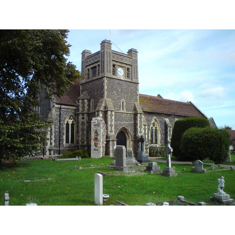
Image copyright © Tim Marchant, 2010
CC-BY-SA-2.0
Results: 1 records
view of church exterior - southwest view
Scene Description: Source caption: "St Mary, Walton. The original church was derelict in the 19th Century and was rebuilt by Frederick Barnes between 1857-67."
Copyright Statement: Image copyright © Tim Marchant, 2010
Image Source: digital photograph taken 13 September 2010 by Tim Marchant [www.geograph.org.uk/photo/2065471] [accessed 28 June 2017]
Copyright Instructions: CC-BY-SA-2.0
INFORMATION
Font ID: 15552WAL
Object Type: Baptismal Font1
Font Century and Period/Style: 15th century, Perpendicular
Church / Chapel Name: Parish Church of St. Mary the Virgin
Font Location in Church: Inside the church
Church Patron Saint(s): St. Mary the Virgin
Church Address: High St, Walton, Walton IP11 9DS, Suffolk, IP11 9DS
Site Location: Suffolk, East Anglia, England, United Kingdom
Directions to Site: Located off the A154, W of Felixtowe, now a suburb of it
Ecclesiastic Region: Diocese of St Edmundsbury & Ipswich
Historical Region: Hundred of Colnes
Font Notes:
Click to view
There are three entries for Walton in the Domesday Survey [http://opendomesday.org/place/TM2939/walton/] [accessed 28 June 2017], one of which mentions a church and church lands in it. A font in this church is noted in Parker (1855) as a good Perpendicular font with a panelled basin.
COORDINATES
UTM: 31U 385954 5759065
Latitude & Longitude (Decimal): 51.970558, 1.339774
Latitude & Longitude (DMS): 51° 58′ 14.01″ N, 1° 20′ 23.18″ E
MEDIUM AND MEASUREMENTS
Material: stone
Font Shape: octagonal, mounted
Basin Interior Shape: round
Basin Exterior Shape: octagonal
REFERENCES
- Parker, John Henry, The Ecclesiastical and architectural topography of England [...] Suffolk, 1855, [unpaged]