Cottam No. 1 / Cotune / Cotvne
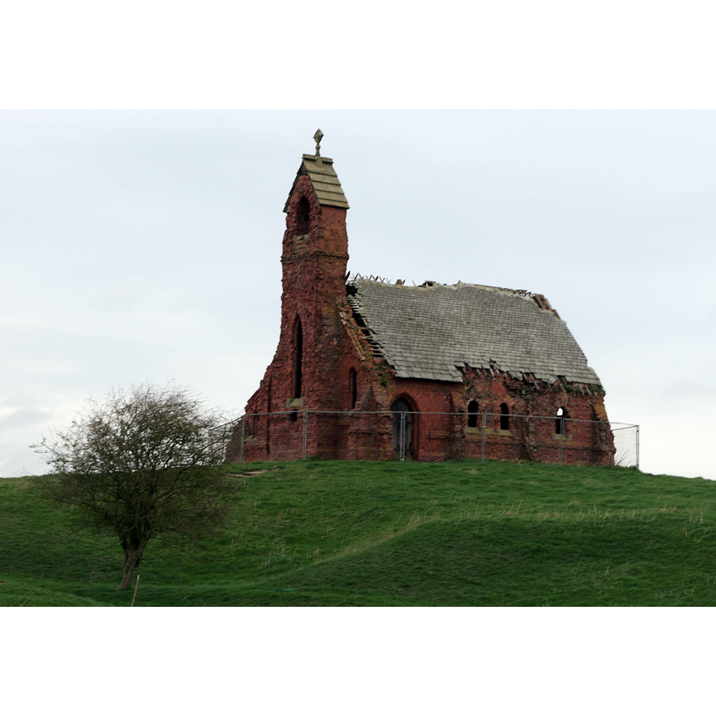
Image copyright © Ian S, 2014
CC-BY-SA-2.5
Results: 3 records
view of church exterior - southwest view
Scene Description: Source caption: "The ruined Chapel at Cottam"
Copyright Statement: Image copyright © Ian S, 2014
Image Source: digital photograph 12 April 2014 by Ian S [https://www.geograph.org.uk/photo/3930989] [accessed 30 August 2022]
Copyright Instructions: CC-BY-SA-2.5
view of church exterior - north view
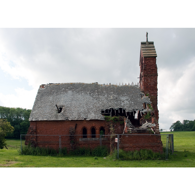
Scene Description: Source caption: "Northern elevation of the ruined church at Cottam"
Copyright Statement: Image copyright © Neil Oakes, 2012
Image Source: digital photograph [edited] 19 June 2012 by Neil Oakes [https://www.geograph.org.uk/photo/3000659] [accessed 30 August 2022]
Copyright Instructions: CC-BY-SA-2.5
view of church exterior in context - southwest view
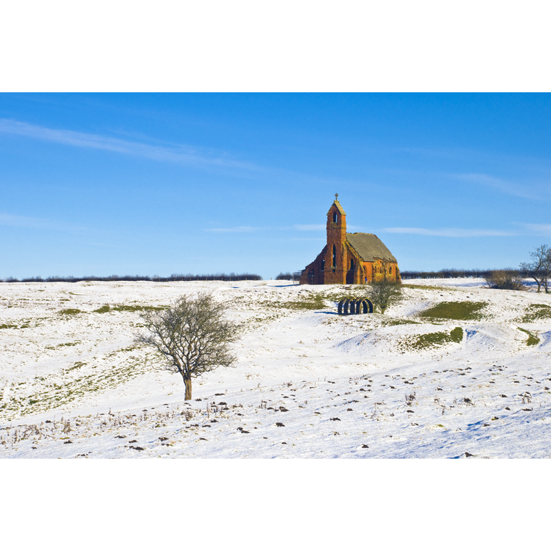
Scene Description: the ruins of Holy Trinity amid the desolation of the disappeared medieval village
Copyright Statement: Image copyright © Jez Norgan, 2010
Image Source: digital photograph taken 31 January 2010 by Jez Norgan [www.geograph.org.uk/photo/3393245] [accessed 20 July 2014]
Copyright Instructions: CC-BY-SA-2.0
INFORMATION
Font ID: 15446COT
Object Type: Baptismal Font1?
Font Century and Period/Style: 12th century, Norman
Church / Chapel Name: Parish Church of the Holy Trinity [in ruins]
Font Location in Church: [cf. FontNotes]
Church Patron Saint(s): The Holy Trinity
Church Address: Overcoat Lane, Cottam, Nottinghamshire DN22 0EZ
Site Location: Nottinghamshire, East Midlands, England, United Kingdom
Directions to Site: [disappeared village] Located 5 km from Sledmere, 13 km E of Retford
Ecclesiastic Region: Diocese of Southwell and Nottingham
Historical Region: Hundred of Bassettlaw
Additional Comments: disused font?
Font Notes:
Click to view
There is an entry for this Cottam [variant spelling] in the Domesday survey [http://domesdaymap.co.uk/place/SK8179/cottam/] [accessed 20 July 2014], but it mentions neither church nor cleric in it. The CRSBI (2008) reports: "By the E[ast] side of the S[outh] porch, half hidden in the grass, is something which might have been the Norman font (of sandstone with a square inner tub)". [cf. Index entry for Cottam No. 2 for a 15th-century hexagonal font in this church] [NB: FOR THE CARVED NORMAN FONT originally from this church see BSI entry for Langtoft No. 1]
COORDINATES
UTM: 30U 664665 5994341
Latitude & Longitude (Decimal): 54.070914, -0.483407
Latitude & Longitude (DMS): 54° 4′ 15.29″ N, 0° 29′ 0.26″ W
MEDIUM AND MEASUREMENTS
Material: stone, sandstone
Basin Interior Shape: square
REFERENCES
- Corpus of Romanesque Sculpture in Britain and Ireland, The Corpus of Romanesque Sculpture in Britain and Ireland, The Corpus of Romanesque Sculpture in Britain and Ireland. URL: http://www.crsbi.ac.uk.