South Petherton / Perretona / Sudperet / Sudperetone
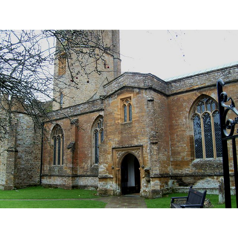
Image copyright © Andy Pearce, 2007
CC-BY-SA-2.0
Results: 3 records
view of church exterior - porch
Copyright Statement: Image copyright © Andy Pearce, 2007
Image Source: digital photograph taken 4 December 2007 by Andy Pearce [www.geograph.org.uk/photo/626998] [accessed 27 February 2018]
Copyright Instructions: CC-BY-SA-2.0
view of church exterior
![EXT digital photograph taken 7 December 2016 by Stevekeiretsu [https://commons.wikimedia.org/wiki/File:South_Petherton_church.jpg] [accessed 27 February 2018]
EXT N PORCH digital photograph taken 4 December 2007 by Andy Pearce [www.geograph.org.uk/photo/626998] [accessed 27 February 2018]
INT E digital photograph taken 19 June 2015 by Nick Chipchase [www.geograph.org.uk/photo/4532034] [accessed 27 February 2018]](/static-50478a99ec6f36a15d6234548c59f63da52304e5/compressed/1180227003_compressed.png)
Scene Description: EXT digital photograph taken 7 December 2016 by Stevekeiretsu [https://commons.wikimedia.org/wiki/File:South_Petherton_church.jpg] [accessed 27 February 2018]
EXT N PORCH digital photograph taken 4 December 2007 by Andy Pearce [www.geograph.org.uk/photo/626998] [accessed 27 February 2018]
INT E digital photograph taken 19 June 2015 by Nick Chipchase [www.geograph.org.uk/photo/4532034] [accessed 27 February 2018]
Copyright Statement: Image copyright © Stevekeiretsu, 2016
Image Source: digital photograph taken 7 December 2016 by Stevekeiretsu [https://commons.wikimedia.org/wiki/File:South_Petherton_church.jpg] [accessed 27 February 2018]
Copyright Instructions: CC-BY-SA-2.0
view of church interior - nave - looking east
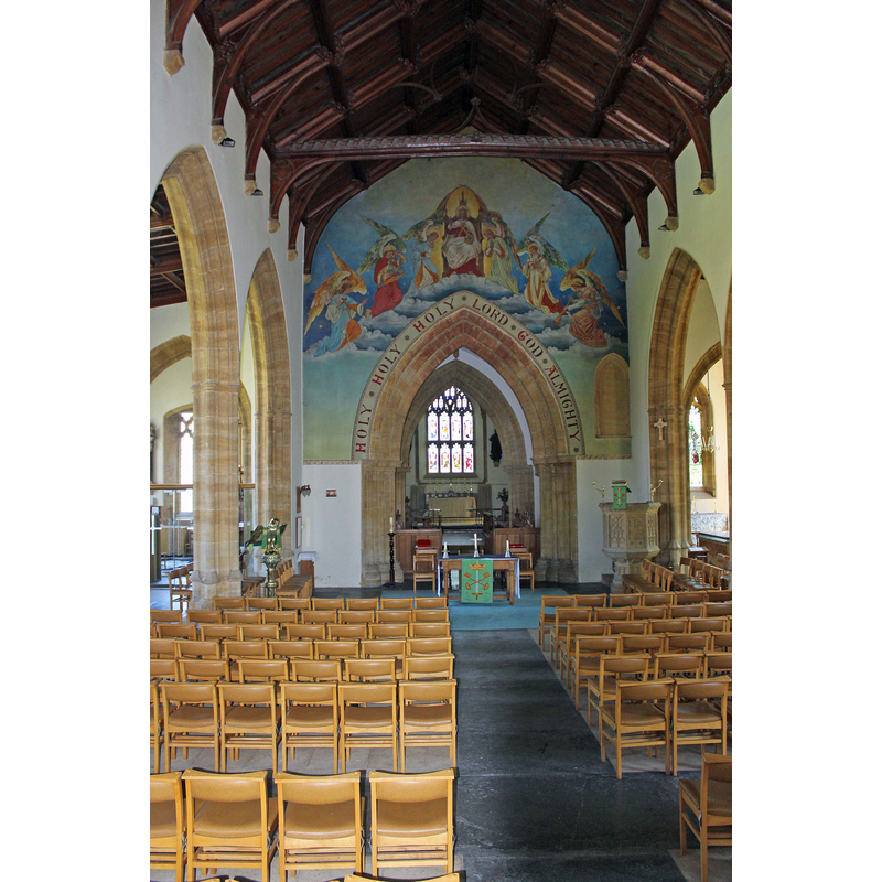
Copyright Statement: Image copyright © Nick Chipchase, 2015
Image Source: digital photograph taken 19 June 2015 by Nick Chipchase [www.geograph.org.uk/photo/4532034] [accessed 27 February 2018]
Copyright Instructions: CC-BY-SA-2.0
INFORMATION
Font ID: 15398PET
Object Type: Baptismal Font1?
Font Century and Period/Style: 11th - 13th century, Medieval
Church / Chapel Name: Parish Church of St. Peter and St. Paul
Font Location in Church: [cf. FontNotes]
Church Patron Saint(s): St. Peter & St. Paul
Church Address: Hele Ln, South Petherton TA13 5DQ, UK -- Tel.: +44 1460 240377
Site Location: Somerset, South West, England, United Kingdom
Directions to Site: Located off (N) the A303, 8 km E of Ilminster
Ecclesiastic Region: Diocese of Bath & Wells
Historical Region: Hundred of South Petherton
Additional Comments: disappeared font? (the one from the
Font Notes:
Click to view
There are two entries for [South] Petherton [variant spellings] in the Domesday survey [http://opendomesday.org/place/ST4316/south-petherton/] [accessed 27 February 2018], neither of which mentions a church in it; one of them, however, was in the lordship of "Alfgeat the priest" in 1086. The font here is not mentioned in Pevsner (1958). The entry for this parish in the Victoria County History (Somerset, vol. 4, 1978) notes: "The presence of Alviet the priest holding a substantial estate in South Petherton T.R.E. and in 1086, and the subsequent appearance of several chapels dependent upon South Petherton church, is strong evidence that the church originated as a Saxon minster. [...] Parts of the walling of the western end of the chancel are of the 12th century, but there is no other evidence in situ of the form of the church at that time. This is largely the result of a major rebuilding in the later 13th and earlier 14th centuries" [there is no font mentioned in the VCH entry]. The entry for this church in the British Listed Buildings site [Listing NGR: ST4322816862] does not mention a font; it gives the church itself "Saxon origins". The present font, consisting of an octagonal basin raised on a slender octagonal pedestal base is modern. [NB: we have no information on the font from the medieval church]
COORDINATES
UTM: 30U 513386 5644097
Latitude & Longitude (Decimal): 50.948333, -2.809444
Latitude & Longitude (DMS): 50° 56′ 54″ N, 2° 48′ 34″ W
REFERENCES
- Victoria County History [online], University of London, 1993-. URL: https://www.british-history.ac.uk.