Durleigh / Derlege
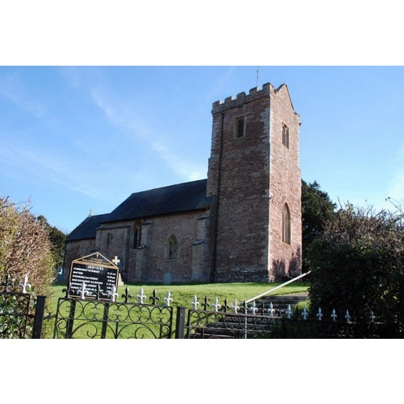
Image copyright © Andrew Riley, 2007
CC-BY-SA-2.0
Results: 1 records
view of church exterior - northwest view
Copyright Statement: Image copyright © Andrew Riley, 2007
Image Source: digital photograph taken 21 March 2007 Andrew Riley [www.geograph.org.uk/photo/878193] [accessed 3 April 2018]
Copyright Instructions: CC-BY-SA-2.0
INFORMATION
Font ID: 15325DUR
Object Type: Baptismal Font1
Font Century and Period/Style: 15th century, Perpendicular
Church / Chapel Name: Parish Church of St. Hugh
Font Location in Church: Inside the church
Church Patron Saint(s): [earlier dedication unknown]
Church Address: Enmore Rd, Durleigh, Bridgwater TA5 2AW, UK -- Tel.: +44 1278 455022
Site Location: Somerset, South West, England, United Kingdom
Directions to Site: Located 3 km SW of Bridgwater
Ecclesiastic Region: Diocese of Bath & Wells
Historical Region: Hundred of Andersfield
Additional Comments: disappeared font? (the one from the 12thC church here)
Font Notes:
Click to view
There is an entry for Durleigh [variant spalling] in the Domesday survey [http://opendomesday.org/place/ST2736/durleigh/] [accessed 3 April 2018], but it mentions neither cleric nor church in it. The entry for this church in Historic England [Listing NGR: ST2748536139] reports a "C15 octagonal font" in it. The entry for this parish in the Victoria County History (Somerset, vol. 6, 1992) notes: "The plan of the church and the record of a chaplain show that it existed in the 12th century [...] The proportions of the chancel, nave, and tower suggest a 12th-century date, but the chancel was rebuilt in the 13th century and the nave, refenestrated in the 14th century, was altered again in the later 15th, when both chancel and tower arches were inserted, together with the south door and doorway, the font, and the upper storey of the tower. " Not mentioned in Pevsner (1958). [NB: we have no information on the earlier font(s) of this church]
COORDINATES
UTM: 30U 497375 5663159
Latitude & Longitude (Decimal): 51.1199, 3.0375
Latitude & Longitude (DMS): 51° 7′ 11.64″ N, 3° 2′ 15″ W
REFERENCES
- Victoria County History [online], University of London, 1993-. URL: https://www.british-history.ac.uk.