Bristol No. 19 / Westbury-on-Trym
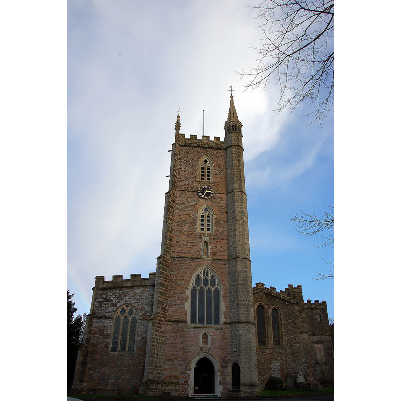
Image copyright © Steinsky, 2006
CC-BY-SA-3.0
Results: 1 records
view of church exterior - west view
Copyright Statement: Image copyright © Steinsky, 2006
Image Source: digital photograph taken 3 December 2006 by Steinsky [http://en.wikipedia.org/wiki/File:061203_ukbris_wotch_01.jpg] [accessed 24 February 2012]
Copyright Instructions: CC-BY-SA-3.0
INFORMATION
Font ID: 15323BRI
Object Type: Baptismal Font1?
Font Century and Period/Style: 12th century (late?), Medieval
Church / Chapel Name: Parish Church of the Holy Trinity
Church Patron Saint(s): The Holy Trinity
Church Address: 34 Church Road, Westbury on Trym, Bristol, Bristol, BS9 3EQ
Site Location: Bristol, South West, England, United Kingdom
Directions to Site: Located to the N of Bristol, now a suburb of it
Ecclesiastic Region: Diocese of Bristol
Additional Comments: disappeared font(s)
Font Notes:
Click to view
The National Monuments Record, English Heritage [http://www.imagesofengland.org.uk/details/default.aspx?id=379174] [accessed 16 September 2009] notes: "C19 font, octagonal on marble shafts". The Parish website [http://www.westburychurch.com/wot/content/churchprofile/churchhistory.aspx] [accessed 29 April 2010] reports the introduction of a new font in the 1848 renovation of the church: "of Painswick stone, a new font, given by Robert Phippen, of Bedminster, a[…] but where is the little stone and marble font that previously stood in the north chapel?" The new 1848 font has a round basin decorated with a moulding at the upper rim, and motifs on the sides, and is located towards the west end of the central nave, on the south side. [NB: there may have been a church -part of a monastery- here as early as the 8th century; the present church goes back to at least the 13th century, but we have no information of the earlier font(s)]
COORDINATES
UTM: 30U 525730 5704416
Latitude & Longitude (Decimal): 51.4903, -2.6294
Latitude & Longitude (DMS): 51° 29′ 25.08″ N, 2° 37′ 45.84″ W