Ryston / Riston / Ristuna / Ristune / West Riston
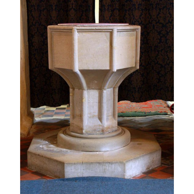
Image copyright © John Salmon, 2010
CC-BY-SA-3.0
Results: 6 records
view of font
Copyright Statement: Image copyright © John Salmon, 2010
Image Source: digital photograph taken 27 February 2010 by John Salmon [www.geograph.org.uk/photo/1714517] [accessed 22 August 2013]
Copyright Instructions: CC-BY-SA-3.0
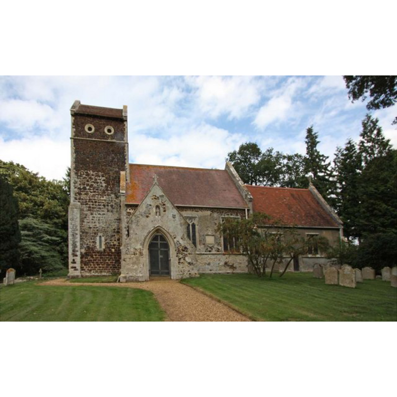
view of church exterior - south view
Copyright Statement: Image copyright © John Salmon, 2009
Image Source: digital photograph taken 25 August 2009 by John Salmon [www.geograph.org.uk/photo/1501456] [accessed 22 August 2013]
Copyright Instructions: CC-BY-SA-3.0
view of church exterior - southwest end
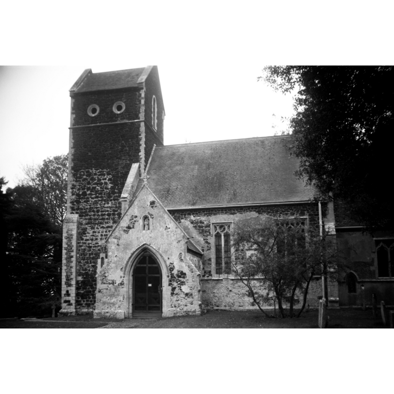
Scene Description: in 1993
Copyright Statement: Image copyright © George Plunkett, 2013
Image Source: B&W ohotograph taken 31 October 1993 by George Plunkett [www.georgeplunkett.co.uk/Norfolk/R/Ryston St Michael's church south side [7095] 1993-10-31.jpg] [accessed 31 October 2013]
Copyright Instructions: Standing permission by Jonathan Plunkett
view of church interior - nave - west end
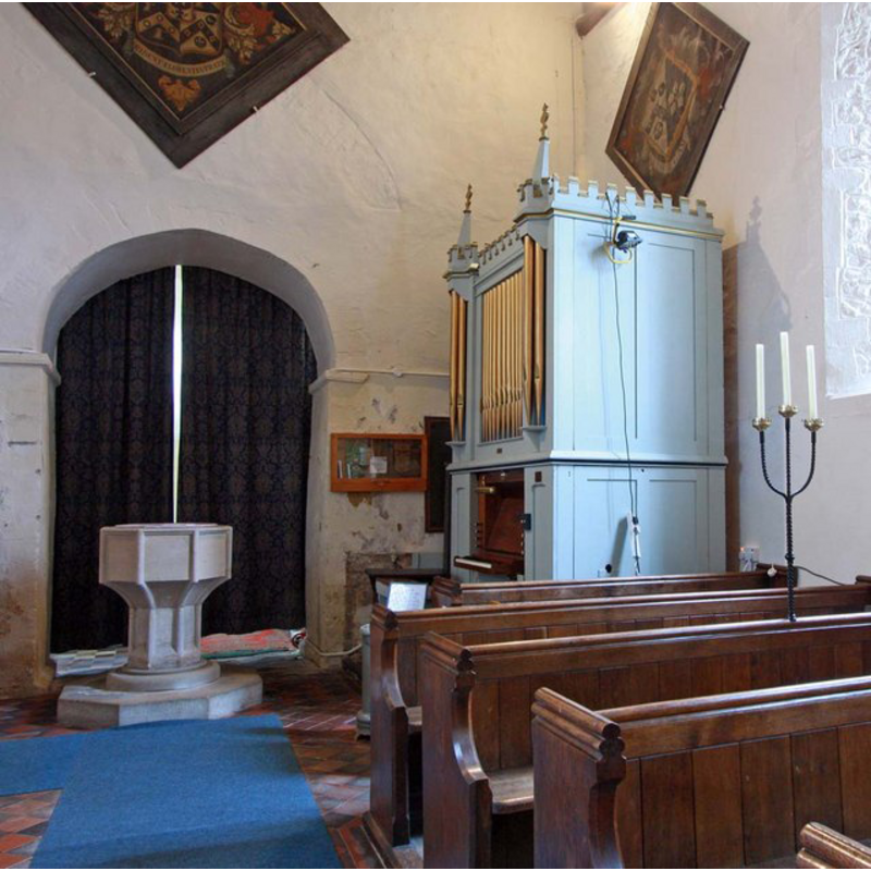
Scene Description: the font, the organ and the tower arch
Copyright Statement: Image copyright © John Salmon, 2010
Image Source: digital photograph taken 27 February 2010 by John Salmon [www.geograph.org.uk/photo/1714513] [accessed 22 August 2013]
Copyright Instructions: CC-BY-SA-3.0
view of church interior - nave - looking west
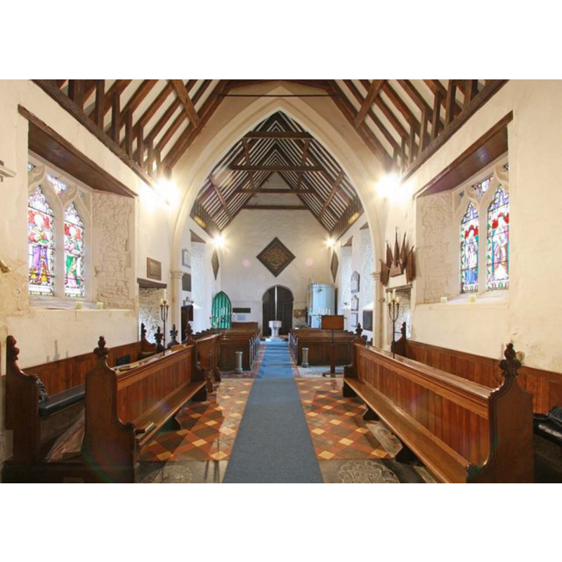
Scene Description: the font visible at the far (west) end
Copyright Statement: Image copyright © John Salmon, 2010
Image Source: digital photograph taken 27 February 2010 by John Salmon [www.geograph.org.uk/photo/1714506] [accessed 22 August 2013]
Copyright Instructions: CC-BY-SA-3.0
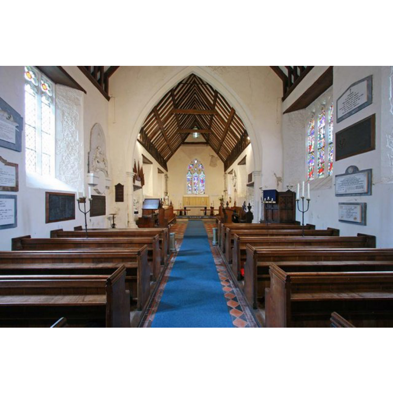
view of church interior - nave - looking east
Copyright Statement: Image copyright © John Salmon, 2010
Image Source: digital photograph taken 27 February 2010 by John Salmon [www.geograph.org.uk/photo/1714499] [accessed 22 August 2013]
Copyright Instructions: CC-BY-SA-3.0
INFORMATION
Font ID: 15167RYS
Object Type: Baptismal Font1
Font Century and Period/Style: 15th century / 19th-century (?), Late Medieval? / Victorian?
Church / Chapel Name: Parish Church of St. Michael
Font Location in Church: Inside the church, at the W end of the nave, by the organ
Church Patron Saint(s): St. Michael
Church Address: Ryston Road, Ryston, Norfolk PE38 0DR
Site Location: Norfolk, East Anglia, England, United Kingdom
Directions to Site: Located 5 km SSE of Downham
Ecclesiastic Region: Diocese of Ely
Historical Region: Hundred and half of Clackclose
Font Notes:
Click to view
Blomefield (1805-1810) writes: "The church of Riston is dedicated to St. Michael, and stands in a field by itself about a quarter of a mile from Riston-Hall; it is built of ragg, or carr stone, and is a single pile about 33 feet in length, and 22 in breadth. At the west end of the nave, stands part of a little four-square tower, with the quoins of free stone; the upper part of the tower lies open and is broke down to the roof of the church. The chancel is divided from the body by a screen, and is in length about 30 feet, and in breadth about 27; this chancel has a roof like the nave, camerated, plaistered and covered with tile [...] In Norwich Domesday book, wrote about the beginning of the reign of King Edward I. [i.e., ca. 1272] Robert de Benhale was patron, and the rector had a house with 30 acres of glebe land, valued at 12 marks, soon after it was appropriateed to the priory of Norwich". The present font consists of an octagonal basin with thick piping along the angles all the way down to the lower base, a rim moulding atop; round moulded lower base; octagonal plinth. The font is either totally re-cut and re-tooled or a modern version of an earlier design; the lower base and plinth are modern in any case.. Plain round font cover; modern.
Credit and Acknowledgements: We are grateful to Jonathan Plunkett for the photograph of this church taken by his father, George Plunkett 31 October 1993
COORDINATES
UTM: 31U 323258 5829773
Latitude & Longitude (Decimal): 52.589214, 0.390863
Latitude & Longitude (DMS): 52° 35′ 21.17″ N, 0° 23′ 27.11″ E
MEDIUM AND MEASUREMENTS
Material: stone
Font Shape: octagonal, mounted
Basin Interior Shape: round
Basin Exterior Shape: octagonal
LID INFORMATION
Date: modern
Notes: [cf. FontNotes]
REFERENCES
- Blomefield, Francis, An essay towards a topographical history of Norfolk, 1805-1810, vol. 7: 393-397 / [www.british-history.ac.uk/report.aspx?compid=78368] [accessed 21 August 2013]