Letton nr. East Dereham / Letteuna / Lettuna / Letuna
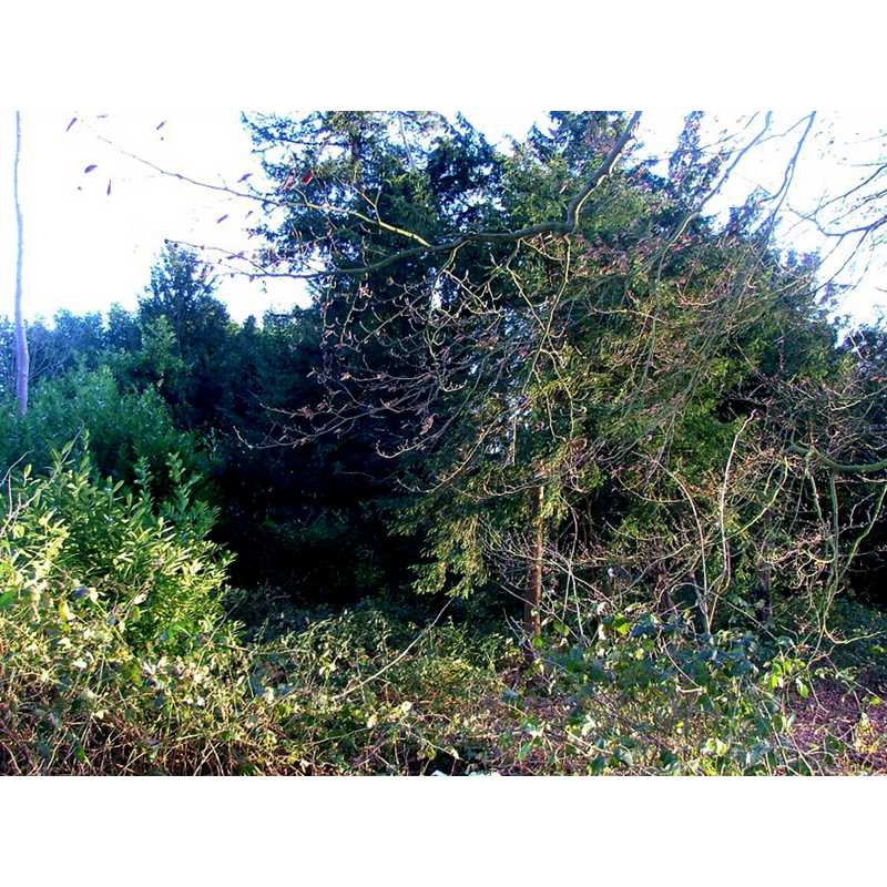
Image copyright © Simon Knott, 2006
Standing permission
Results: 2 records
view of church exterior
Scene Description: the ruins of old All Saints' completely undiscernible now
Copyright Statement: Image copyright © Simon Knott, 2006
Image Source: digital photograph taken Januray 2006 taken by Simon Knott [www.norfolkchurches.co.uk/letton/letton.htm] [accessed 26 March 2014]
Copyright Instructions: Standing permission
view of church exterior in context
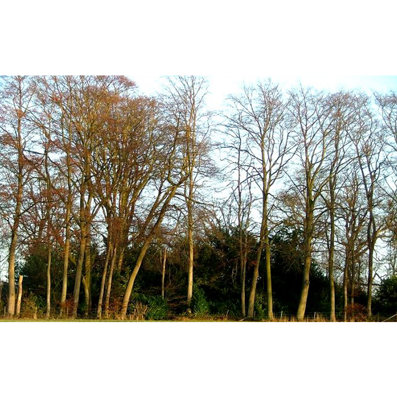
Scene Description: location of the ruins of old All Saints'
Copyright Statement: Image copyright © Simon Knott, 2006
Image Source: digital photograph taken Januray 2006 taken by Simon Knott [www.norfolkchurches.co.uk/letton/letton.htm] [accessed 26 March 2014]
Copyright Instructions: Standing permission
INFORMATION
Font ID: 15115LET
Object Type: Baptismal Font1?
Font Century and Period/Style: 11th century, Pre-Conquest? / Norman
Church / Chapel Name: Parish Church of All Saints [disappeared]
Font Location in Church: [cf. FontNotes]
Church Patron Saint(s): All Saints
Church Notes: now in the parish of Cranworth
Church Address: Letton, Thetford IP25 7PS
Site Location: Norfolk, East Anglia, England, United Kingdom
Directions to Site: Located 2 km ESE of Shipdham, 10 km S of East Dereham
Ecclesiastic Region: [Diocese of Norwich]
Historical Region: Hundred and half of Mitford
Additional Comments: disappeared font? (the one from the Domesday-time church here)
Font Notes:
Click to view
There are three entries for Letton in the Domesday survey [http://domesdaymap.co.uk/place/TF9705/letton/] [accessed 26 April 2014], one of which reports a church endowed with twelve acres of land in it. Blomefield (1805-1810) notes; "The Church is a rectory, dedicated to All-Saints [...] In the 38th of Henry VIII. June 26 [1547], this church was consolidated to that of Cranworth". White's Directory of 1845 already reported that this medieval church "was dilapidated many years ago, and its site is now marked by a plantation". Pevsner & Wilson (1999) note just "scanty foundations" left of it. We have no information on its font.
Credit and Acknowledgements: We are grateful to Simon Knott, of Norfolk Churches [wdigital photograph taken Januray 2006 taken by Simon Knott [www.norfolkchurches.co.uk], for his photographs of the ruins of this church
COORDINATES
UTM: 31U 358870 5831078
REFERENCES
- Blomefield, Francis, An essay towards a topographical history of Norfolk, 1805-1810, vol. 10: 231-233 / [www.british-history.ac.uk/report.aspx?compid=78665] [accessed 26 March 2014]
- Pevsner, Nikolaus, Norfolk 2: North-West and South (2nd ed.), London: Penguin, 1999, p. 516
- White, William, History, gazetteer, and directory of Norfolk and the city and County of the city of Norwich [...], Sheffield: Robert Leader, 1845, [transcription in www.origins.org.uk/genuki/NFK/places/l/letton/white1845.shtml [accessed 10 August 2009]]