Honingham / Huningham
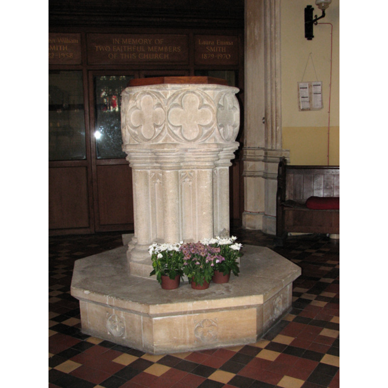
Image copyright © Evelyn Simak, 2010
CC-BY-SA-3.0
Results: 8 records
view of font and cover
Copyright Statement: Image copyright © Evelyn Simak, 2010
Image Source: digital photograph taken1 September 2010 by Evelyn Simak [www.geograph.org.uk/photo/2045793] [accessed 18 March 2013]
Copyright Instructions: CC-BY-SA-3.0
design element - motifs - quatrefoil - in a circle - 8
Copyright Statement: Image copyright © Evelyn Simak, 2010
Image Source: digital photograph taken1 September 2010 by Evelyn Simak [www.geograph.org.uk/photo/2045793] [accessed 18 March 2013]
Copyright Instructions: CC-BY-SA-3.0
view of church exterior - north view
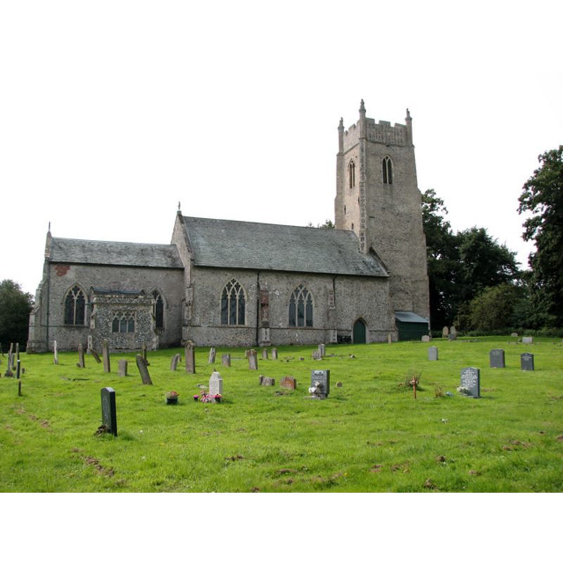
Copyright Statement: Image copyright © Evelyn Simak, 2010
Image Source: digital photograph taken1 September 2010 by Evelyn Simak [www.geograph.org.uk/photo/2045751] [accessed 18 March 2013]
Copyright Instructions: CC-BY-SA-3.0
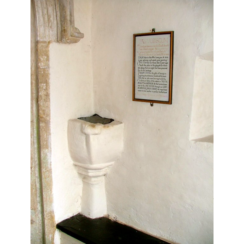
view of church interior - nave - looking west
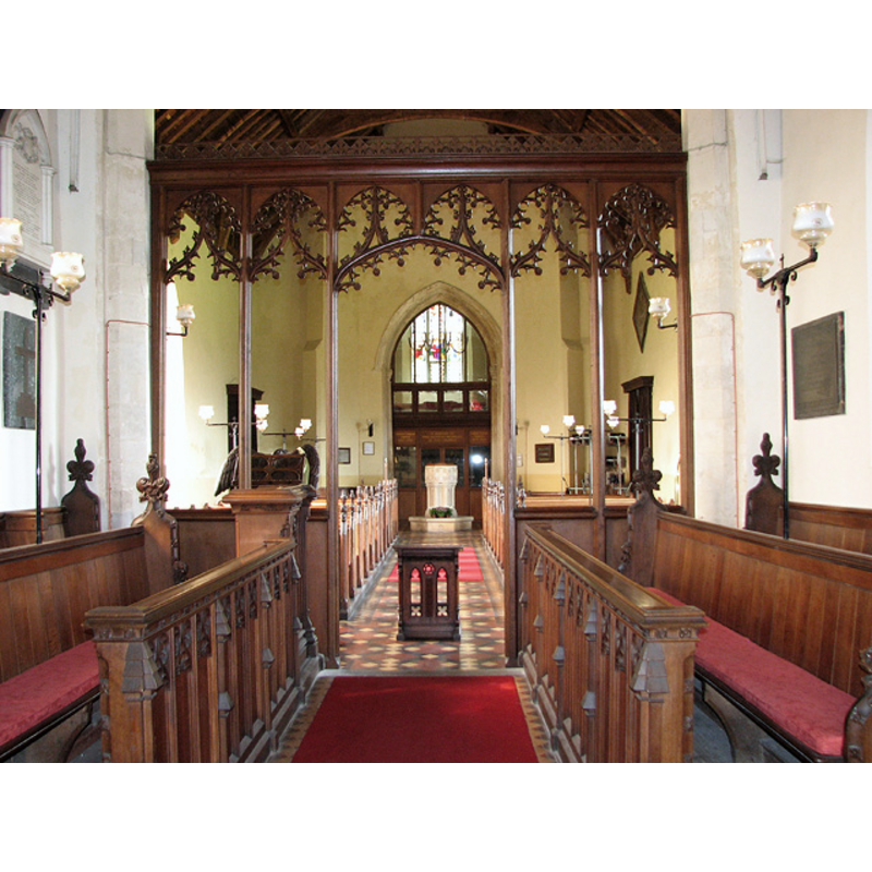
Scene Description: the baptismal font at the back (west end)
Copyright Statement: Image copyright © Evelyn Simak, 2010
Image Source: digital photograph taken1 September 2010 by Evelyn Simak [www.geograph.org.uk/photo/2045785] [accessed 18 March 2013]
Copyright Instructions: CC-BY-SA-3.0
view of church interior - nave - looking east
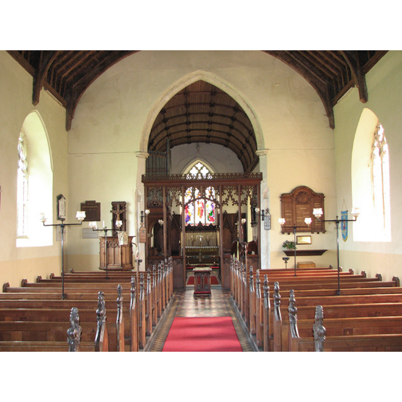
Copyright Statement: Image copyright © Evelyn Simak, 2010
Image Source: digital photograph taken1 September 2010 by Evelyn Simak [www.geograph.org.uk/photo/2045759] [accessed 18 March 2013]
Copyright Instructions: CC-BY-SA-3.0
view of stoup in context
Scene Description: on the east corner of the south porch
Copyright Statement: Image copyright © Simon Knott, 2006
Image Source: digital photograph taken March 2006 by Simon Knott [www.norfolkchurches.co.uk/honingham/honingham.htm] [accessed 18 March 2013]
Copyright Instructions: Standing permission
design element - architectural - column - clustered columns - with capitals and bases - 8
Copyright Statement: Image copyright © Evelyn Simak, 2010
Image Source: digital photograph taken1 September 2010 by Evelyn Simak [www.geograph.org.uk/photo/2045793] [accessed 18 March 2013]
Copyright Instructions: CC-BY-SA-3.0
design element - motifs - quatrefoil - in a circle - 7?
Scene Description: on seven of the sides of the plinth
Copyright Statement: Image copyright © Evelyn Simak, 2010
Image Source: digital photograph taken1 September 2010 by Evelyn Simak [www.geograph.org.uk/photo/2045793] [accessed 18 March 2013]
Copyright Instructions: CC-BY-SA-3.0
INFORMATION
Font ID: 15097HON
Object Type: Baptismal Font1
Font Century and Period/Style: 14th century (early?), Decorated
Church / Chapel Name: Parish Church of St. Andrew
Font Location in Church: Inside the church, at the W end of the nave
Church Patron Saint(s): St. Andrew
Site Location: Norfolk, East Anglia, England, United Kingdom
Directions to Site: Located on the A47, 13 km W of Norwich
Ecclesiastic Region: Diocese of Norwich
Historical Region: Hundred of Forehoe [aka Forehou]
Font Notes:
Click to view
Blomefield (1805-1810) writes: "The Church is dedicated to St. Andrew, and hath a square tower and four bells, the nave, south porch, and chancel, are leaded", and names "Boecius, rector of a mediety in Richard the First's time", i.e., 1189-1199. Pevsner & Wilson (1999) note: "Early C14, the bowl with quatrefoils on colonnettes." "a fine 14c font, with its bowl supported by a cluster of eight shafts. " [source: http://in-crete.110mb.com/tomfeise/tomhoni.htm [accessed 6 August 2009]]. [NB: we have no information on the font of the poriginal 12th-century church here -- there appears to be an early holy-water stoup wall-mounted onto a corner of the porch -- cf. entry for this church in Simon Knott's www.norfolkchurches.co.uk]]
COORDINATES
UTM: 31U 373150 5835838
Latitude & Longitude (Decimal): 52.657644, 1.124544
Latitude & Longitude (DMS): 52° 39′ 27.52″ N, 1° 7′ 28.36″ E
MEDIUM AND MEASUREMENTS
Material: stone
Font Shape: octagonal, mounted
Basin Interior Shape: round
Basin Exterior Shape: octagonal
LID INFORMATION
Date: modern
Material: wood, oak?
Apparatus: no
Notes: octagonal, flat and plain; modern
REFERENCES
- Blomefield, Francis, An essay towards a topographical history of Norfolk, 1805-1810, vol. 2: 446-452 / [www.british-history.ac.uk/report.aspx?compid=78093] [accessed 18 March 2013]
- Pevsner, Nikolaus, Norfolk 2: North-West and South (2nd ed.), London: Penguin, 1999, p. 427