Framingham Earl
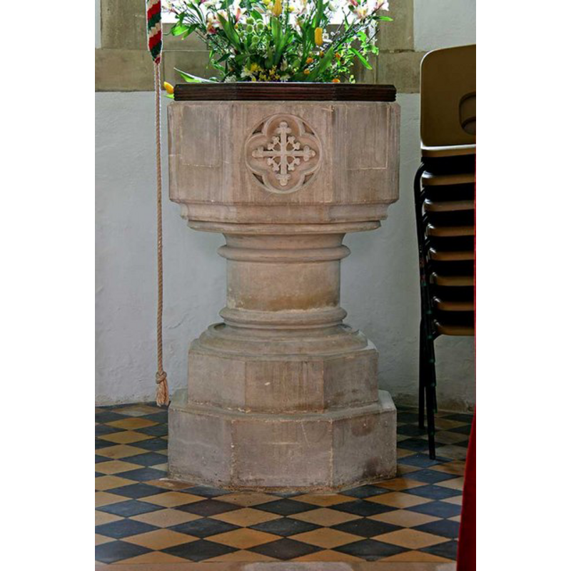
Image copyright © John Salmon, 2009
CC-BY-SA-3.0
Results: 5 records
view of font and cover
Scene Description: the modern font [cf. FontNotes]
Copyright Statement: Image copyright © John Salmon, 2009
Image Source: digital photograph taken 25 April 2009 by John Salmon [www.geograph.org.uk/photo/1296714] [accessed 27 April 2013]
Copyright Instructions: CC-BY-SA-3.0
view of church exterior - southeast view
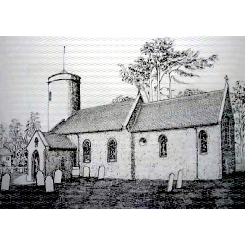
Copyright Statement: Image copyright © Robert Wilkes, 2014
Image Source: drawing by Robert Wilkes
Copyright Instructions: Standing permission
view of church exterior - southeast view
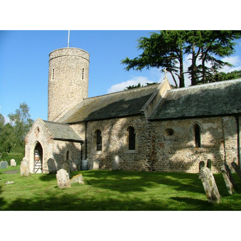
Copyright Statement: Image copyright © Simon Knott, 2006
Image Source: digital photograph September 2006 taken by Simon Knott [www.norfolkchurches.co.uk/framinghamearl/framinghamearl.htm] [accessed 27 April 2013]
Copyright Instructions: Standing permission
view of church interior - nave - looking west
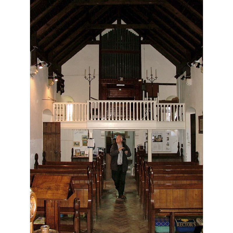
Copyright Statement: Image copyright © Simon Knott, 2006
Image Source: digital photograph September 2006 taken by Simon Knott [www.norfolkchurches.co.uk/framinghamearl/framinghamearl.htm] [accessed 27 April 2013]
Copyright Instructions: Standing permission
view of church interior - nave - looking east
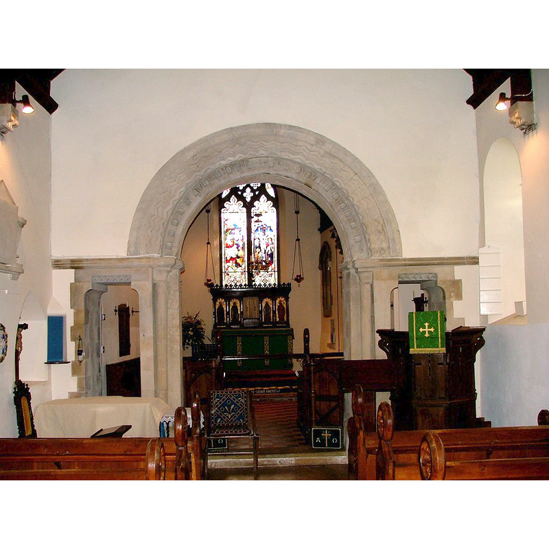
Copyright Statement: Image copyright © Simon Knott, 2006
Image Source: digital photograph September 2006 taken by Simon Knott [www.norfolkchurches.co.uk/framinghamearl/framinghamearl.htm] [accessed 27 April 2013]
Copyright Instructions: Standing permission
INFORMATION
Font ID: 15051FRA
Object Type: Baptismal Font1?
Font Century and Period/Style: 11th - 12th century, Norman
Church / Chapel Name: Parish Church of St. Andrew
Church Patron Saint(s): St. Andrew
Church Notes: round-tower church
Church Address: Yelverton Road, Framingham Earl, Norfolk NR14 7SB
Site Location: Norfolk, East Anglia, England, United Kingdom
Directions to Site: Located 6 km SSE of Norwich
Ecclesiastic Region: Diocese of Norwich
Historical Region: Hundred of Henstede [aka Henstead] [in Domesday]
Additional Comments: disappeared font? (the one from the original church here)
Font Notes:
Click to view
There are seven entries for Framingham [Earl and Pigot] in the Domesday survey [http://domesdaymap.co.uk/place/XX0000/framingham-earl-and-pigot/] [accesseed 7 December 2014], of which only one, the part in the lordship of Turold, tenancy of Roger Bigot, reports a church and church lands in it. Pevsner & Wilson (1999) report a 19th-century font in this church; this modern font is located beneath the tower [NB: the fabric of the church and the tower go back to Norman times, but we have no information on the earlier font(s)]
Credit and Acknowledgements: We are grateful to Simon Knott, of www.norfolkchurches.co.uk, for his photographs of this church
COORDINATES
UTM: 31U 388865 5826230
Latitude & Longitude (Decimal): 52.574749, 1.360002
Latitude & Longitude (DMS): 52° 34′ 29.09″ N, 1° 21′ 36.01″ E
REFERENCES
- Knott, Simon, The Norfolk Churches Site, Simon Knott, 2004. [standing permission to reproduce images received from Simon (February 2005]. URL: www.norfolkchurches.co.uk.
- Pevsner, Nikolaus, Norfolk 2: North-West and South (2nd ed.), London: Penguin, 1999, p. 344