Beetley / Betellea / Betely
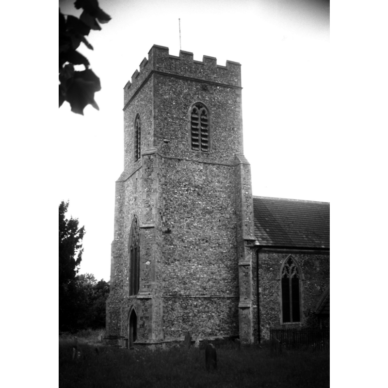
Image copyright © George Plunkett, 2014
Standing permission by Jonathan Plunkett
Results: 5 records
view of church exterior - southwest end
Copyright Statement: Image copyright © George Plunkett, 2014
Image Source: B&W photograph taken 17 June 1995 by George Plunkett [www.georgeplunkett.co.uk/Norfolk/B/Beetley St Mary Magdalene church tower [7186] 1995-06-17.jpg] [accessed 31 January 2014]
Copyright Instructions: Standing permission by Jonathan Plunkett
view of church exterior - southeast view
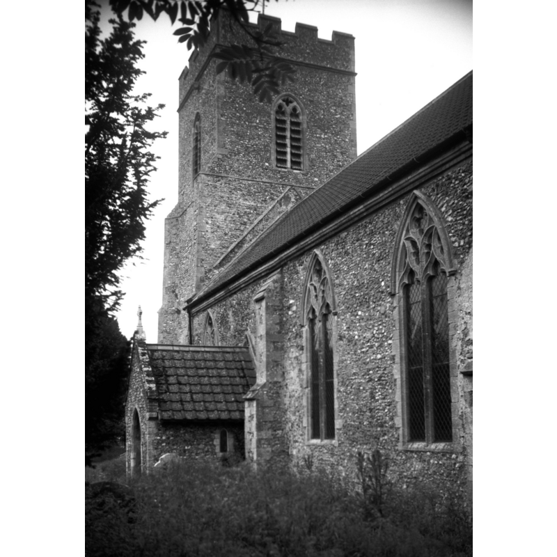
Copyright Statement: Image copyright © George Plunkett, 2014
Image Source: B&W photograph taken 17 June 1995 by George Plunkett [www.georgeplunkett.co.uk/Norfolk/B/Beetley St Mary Magdalene church from SE [7187] 1995-06-17.jpg] [accessed 31 January 2014]
Copyright Instructions: Standing permission by Jonathan Plunkett
symbol - shield - in a cusped panel - 8


design element - motifs - tracery
symbol - shield - blank
INFORMATION
Font ID: 14990BEE
Object Type: Baptismal Font1
Font Century and Period/Style: 14th - 15th century, Perpendicular
Workshop/Group/Artisan: heraldic font
Church / Chapel Name: Parish Church of St. Mary Magdalene
Font Location in Church: Inside the church, at the W end of the nave
Church Patron Saint(s): St. Mary Magdalene
Church Address: Church Road, Beetley, Norfolk NR20 4DD
Site Location: Norfolk, East Anglia, England, United Kingdom
Directions to Site: Located 5 km NNW of East Dereham
Ecclesiastic Region: Diocese of Norwich
Historical Region: Hundred of Launditch
Additional Comments: disappeared font? (the one from the ca.1300 church here)
Font Notes:
Click to view
There is an entry for Beetley [variant spelling] in the Domesday survey [http://domesdaymap.co.uk/place/TF9718/beetley/] [accessed 31 January 2014], and it mentions a church in it, but it appears that the resources in this entry relate to the main holding of Elmham, of which Beetley was a 'beruite', as indicated in Blomefield (1805-1810), who adds: "The Church is dedicated to St. Mary Magdalen, and is a rectory [...] Here is a nave with 2 isles, covered with lead, and a chancel tiled, and a square tower, with three bells." The earliest reference to a church here in Blomefield is his naming of "Simon de Ely, rector, presented by the Bishop of Norwich", in 1300. The present font here is noted in Pevsner & Wilson (1999): "Octagonal, Perp[endicular]. Stem with tracery and shields, bowl with shields in cusped fields. Font cover. Early C17; turned central baluster." The underbowl chamfer is moulded; the octagonal stem has a moulding at the top. The font is raised on a tall but narrow brick (?) plinth.
Credit and Acknowledgements: We are grateful to Jonathan Plunkett for the photographs of this church taken by his father, George Plunkett, in 1995
COORDINATES
UTM: 31U 359654 5844082
Latitude & Longitude (Decimal): 52.728382, 0.921628
Latitude & Longitude (DMS): 52° 43′ 42.17″ N, 0° 55′ 17.86″ E
MEDIUM AND MEASUREMENTS
Material: stone
Font Shape: octagonal, mounted
Basin Interior Shape: round
Basin Exterior Shape: octagonal
LID INFORMATION
Date: 17th-century?
Material: wood, oak?
Apparatus: no
Notes: [cf. FontNotes]
REFERENCES
- Blomefield, Francis, An essay towards a topographical history of Norfolk, 1805-1810, vol. 9: 466-467 / [www.british-history.ac.uk/report.aspx?compid=78597] [accessed 31 January 2014]
- Pevsner, Nikolaus, Norfolk 2: North-West and South (2nd ed.), London: Penguin, 1999, p. 202