Durston / Destone
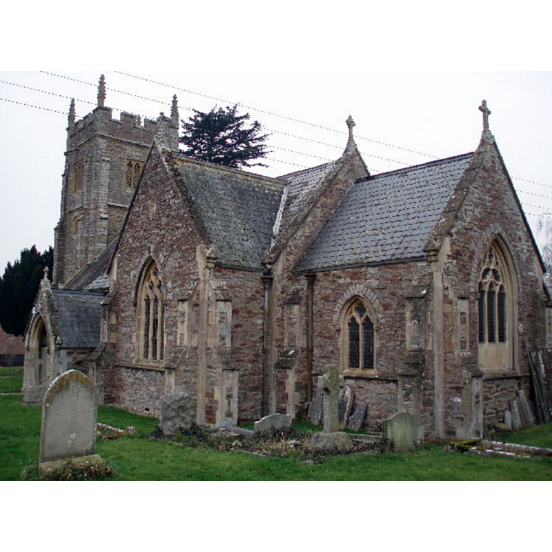
Image copyright © Barbara Cook, 2006
CC-BY-SA-3.0
Results: 1 records
view of church exterior - southeast view
Copyright Statement: Image copyright © Barbara Cook, 2006
Image Source: digital photograph taken 31 January 2006 by Barbara Cook [www.geograph.org.uk/photo/115697] [accessed 10 Apri 2018]
Copyright Instructions: CC-BY-SA-3.0
INFORMATION
Font ID: 14674DUR
Object Type: Baptismal Font1
Font Century and Period/Style: Medieval
Church / Chapel Name: Parish Church of St. John the Baptist
Font Location in Church: Inside the church
Church Patron Saint(s): St. John the Baptist
Church Address: Durston, Taunton TA3 5AF , UK
Site Location: Somerset, South West, England, United Kingdom
Directions to Site: Located off the A361, 8 km NE of Taunton, 10 km S of Bridgwater
Ecclesiastic Region: Diocese of Bath & Wells
Historical Region: Hundred of North Petherton
Font Notes:
Click to view
There is an entry for Durston [variant spelling] in the Domesday survey [http://opendomesday.org/place/ST2928/durston/] [accessed 10 April 2018], but it mentions neither cleric nor church in it. Jeboult (1873) writes: "The font is old and lined with lead." Not mentioned in Pevsner (1958). The entry for this parish in the Victoria County History (Somerset, vol. 6, 1992) notes: "The position of Durston church beside the former manor house suggests a manorial origin. In or after 1170, and probably before 1176, William of Erleigh, lord of the manor, gave Durston chapel, possibly once dependent on North Petherton, as part of the endowment of Buckland priory. The Hospitallers, replacing the canons at the priory, became perpetual parsons in 1189 [...] The church of St. John the Baptist, dedicated in the 1540s to St. Nicholas, […] is a small building of stone comprising chancel, nave with south porch, and western tower, all but the tower rebuilt in 1852-3 to the designs of C. H. Knowles in the Decorated style;" the VCH entry does not mention a font here. Was the font replaced / discarded in the mid-19th century restoration of this church? Is the present font modern? [e-mail requesting up-to-date information sent to the parish contact 10 April 2018].
COORDINATES
UTM: 30U 499502 5655552
Latitude & Longitude (Decimal): 51.0515, -3.0071
Latitude & Longitude (DMS): 51° 3′ 5.4″ N, 3° 0′ 25.56″ W
MEDIUM AND MEASUREMENTS
Material: stone
Drainage Notes: lead-lined
REFERENCES
- Victoria County History [online], University of London, 1993-. URL: https://www.british-history.ac.uk.
- Jeboult, Edward, A General Account of West Somerset, description of the Valley of the Tone, and the history of the twon of Taunton, Taunton: Somerset and Bristol Steam-press, 1873, p. 46 / [http://books.google.ca/books?id=h-kGAAAAYAAJ&pg=RA1-PA100&lpg=RA1-PA100&dq=west+hatch+church+font&source=bl&ots=8DPeBrOd_W&sig=MBiQ5MYBqifsAD89-vQ_wGSHaKA&hl=en&ei=woMRSv6yH4jOMqKBnbMG&sa=X&oi=book_result&ct=result&resnum=1#PPP7,M1] [accessed 18 May 2009]