Roade
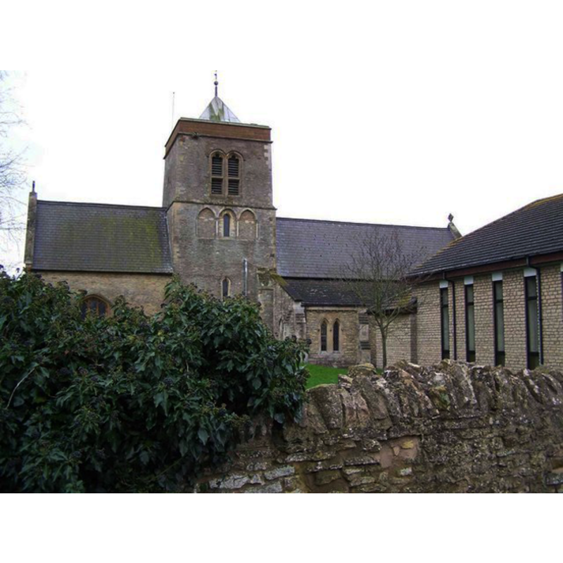
Image copyright © Geoff Pick, 2007
CC-BY-SA-3.0
Results: 2 records
view of church exterior
Copyright Statement: Image copyright © Geoff Pick, 2007
Image Source: digital photograph taken 15 January 2007 by Geoff Pick [www.geograph.org.uk/photo/312734] [accessed 11 June 2012]
Copyright Instructions: CC-BY-SA-3.0
view of font and cover

Copyright Statement: Image copyright © Scott Cache Seekers, 2010
Image Source: digital photograph taken 2010 by Scott Cache Seekers [www.waymarking.com/waymarks/WMA9G0_Stone_Font_St_Mary_The_Virgin_Church_Roade_Northants_UK] [accessed 11 June 2012]
Copyright Instructions: PERMISSION NOT AVAILABLE -- IMAGE NOT FOR PUBLIC USE
INFORMATION
Font ID: 14529ROA
Object Type: Baptismal Font1
Font Century and Period/Style: 13th century [basin only] [composite font], Medieval [composite]
Church / Chapel Name: Parish Church of St. Mary the Virgin
Font Location in Church: Inside the church, at the W end of the nave
Church Patron Saint(s): St. Mary the Virgin
Church Address: Church End / Butlins Lane, Roade, Northamptonshire, NN7 2PU
Site Location: Northamptonshire, East Midlands, England, United Kingdom
Directions to Site: Located SW of Quinton, S of Courteenhall
Ecclesiastic Region: Diocese of Peterborough [formerly in the diocese of Lincoln]
Historical Region: Hundred of Cleley
Additional Comments: altered font: only the basin appears original; the pedestal base looks like a replacement of a later date
Font Notes:
Click to view
The Victoria County History (Northampton, vol. 5, 2002) notes: "The earliest reference to the church at Roade occurs during the time of Bishop Robert de Chesney of Lincoln (1148-66) [...] The late 12th-century nave retains its elaborate south doorway [...] The plain tub font is perhaps of the 13th century." Not mentioned in Pevsner & Cherry (1973). The baptismal font consists of a plain roughly cylindrical basin raised on a plain circular stem and a square lower base, the last two of later date; only the basin appears original; the lining of the basin inner well appears modern, and wraps over the upper rim about two inches down the sides. The wooden cover is round and plain, with two metal handles; appears modern.
COORDINATES
UTM: 30U 644080 5780906
Latitude & Longitude (Decimal): 52.159823, -0.893631
Latitude & Longitude (DMS): 52° 9′ 35.36″ N, 0° 53′ 37.07″ W
MEDIUM AND MEASUREMENTS
Material: stone
Font Shape: tub-shaped, mounted
Basin Interior Shape: round
Basin Exterior Shape: round
Drainage Notes: lead-lined
LID INFORMATION
Date: modern
Material: wood
Apparatus: no
Notes: [cf. FontNotes]
REFERENCES
- Victoria County History [online], University of London, 1993-. URL: https://www.british-history.ac.uk.