Witney / Witenie / Wyttannige
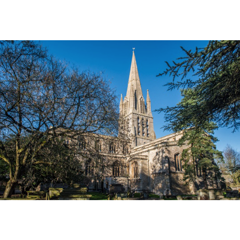
Image copyright © David Ross & Britain Express Ltd, 2017
Standing permission
Results: 2 records
view of church exterior - northeast view
Copyright Statement: Image copyright © David Ross & Britain Express Ltd, 2017
Image Source: digital photograph taken by David Ross, Britain Express Ltd [www.britainexpress.com/counties/oxfordshire/churches/witney.htm] [accessed 11 December 2017]
Copyright Instructions: Standing permission
view of church interior - nave - looking east
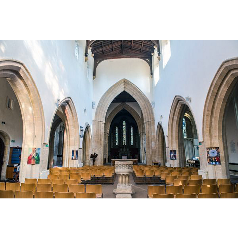
Scene Description: with the modern font in the foreground
Copyright Statement: Image copyright © David Ross & Britain Express Ltd, 2017
Image Source: digital photograph taken by David Ross, Britain Express Ltd [www.britainexpress.com/counties/oxfordshire/churches/witney.htm] [accessed 11 December 2017]
Copyright Instructions: Standing permission
INFORMATION
Font ID: 14512WIT
Object Type: Baptismal Font1?
Font Century and Period/Style: 12th century, Norman
Church / Chapel Name: Parish Church of St. Mary the Virgin
Font Location in Church: [cf. FontNotes]
Church Patron Saint(s): St. Mary the Virgin
Church Address: Church Green, Witney OX28 4AW, UK -- Tel.: : +44 1993 779492
Site Location: Oxfordshire, South East, England, United Kingdom
Directions to Site: Located off (N) the A40, just N of Ducklington, 19 km W of Oxford
Ecclesiastic Region: Diocese of Oxford
Historical Region: Hundred of Bampton
Font Notes:
Click to view
There is an entry for Witney [variant spelling] in the Domesday survey [http://opendomesday.org/place/SP3509/witney/] [accessed 11 December 2017], but it mentions neither priest nor church in it. The entry for this parish in the Victoria County History (Oxon., vol. 14, 2004) notes: "Though the existence of a church within the 10th- and 11th-century estate seems likely, the earliest unequivocal evidence is the survival of blocked, single-splayed windows of late 11th- or early 12th-century type high up in the nave of the existing building [...] Witney church was first recorded in 1162, when Henry of Blois, bishop of Winchester, granted it to the hospital of St Cross in Winchester [...] The font, which stood in the late 18th century towards the north-west end of the nave and in 1854 near the south door, was replaced [1866-1867] by a new one in Romanesque style, placed in the centre of the nave towards its west end." [NB: we have no information on the font from the original, or its later replacement]
COORDINATES
UTM: 30U 604510 5737744
Latitude & Longitude (Decimal): 51.7808, -1.485
Latitude & Longitude (DMS): 51° 46′ 50.88″ N, 1° 29′ 6″ W
REFERENCES
- Victoria County History [online], University of London, 1993-. URL: https://www.british-history.ac.uk.