Wheatfield / Witefelle
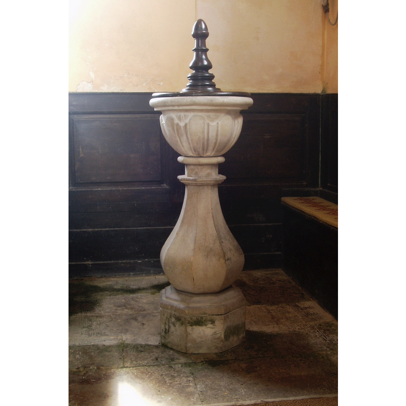
Image copyright © Aidan McRae Thomson, 2017
Standing permission
Results: 3 records
view of font and cover
Scene Description: the modern [18thC?] font [cf. FontNotes]
Copyright Statement: Image copyright © Aidan McRae Thomson, 2017
Image Source: digital photograph taken by Aidan McRae Thomson in https://hiveminer.com/Tags/font,oxfordshire/Interesting [accessed 1 November 2017]
Copyright Instructions: Standing permission
view of church exterior - southeast view

Copyright Statement: Image copyright © Motacilla, 2010
Image Source: digital photograph taken 18 September 2010 by Motacilla [https://commons.wikimedia.org/wiki/File:Wheatfield_StAndrew_southeast.JPG] [accessed 1 November 2017]
Copyright Instructions: CC-BY-SA-3.0
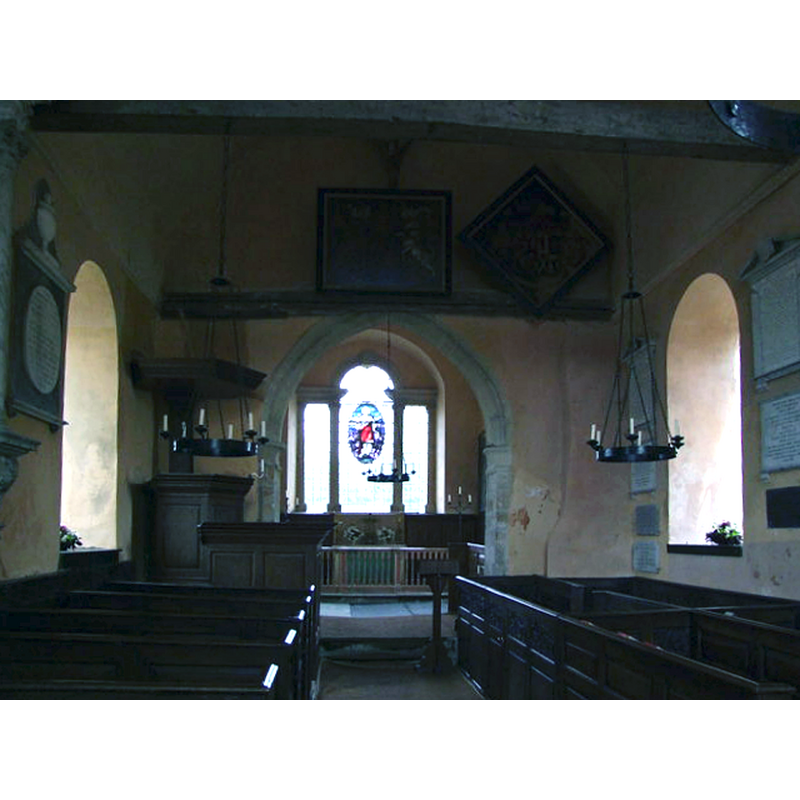
view of church interior - nave - looking east
Copyright Statement: Image copyright © John Vigar, 2010
Image Source: digital photograph taken 8 July 2010 by John Vigar [www.geograph.org.uk/photo/1963707] [accessed 1 November 2017]
Copyright Instructions: CC-BY-SA-2.0
INFORMATION
Font ID: 14510WHE
Object Type: Baptismal Font1?
Font Date: ca. 1200?
Font Century and Period/Style: 13th - 14th century, Medieval
Church / Chapel Name: Parish Church of St. Andrew
Church Patron Saint(s): St. Andrew
Church Notes: The www.westgallerychurches.com web site informs: "The church is currently used as a store (2002) and [...] appears to be kept locked, and the key-holder was not specified on any visible notice board."
Church Address: Wheatfield, Oxfordshire, OX9 7EW, UK
Site Location: Oxfordshire, South East, England, United Kingdom
Directions to Site: Located off (W) the M40, between Watlington and Thame, 7 km S of the latter
Ecclesiastic Region: Diocese of Oxford
Historical Region: Hundred of Pyrton
Additional Comments: disappeared font?
Font Notes:
Click to view
There is an entry for Wheatfield [variant spelling] in the Domesday survey [http://opendomesday.org/place/SU6899/wheatfield/] [accessed 1 November 2017], but it mentions neither priest nor church in it. The Victoria County History (Oxford, vol. 8, 1964) notes: "Wheatfield church, a rectory in Aston deanery, was in existence and had a rector by about 1200 [...] The church, small and well cared for, is a medieval building, which was remodelled in the first half of the 18th century [...] Of the medieval building there remain the walls, the chancel arch, a 14th-century south doorway and a later north window [...] All the fittings date from the 18th century [...] There is a contemporary font: a small stone basin on a tall stone pedestal." [NB: we have no information on the original font of this church]
COORDINATES
UTM: 30U 637923 5728149
Latitude & Longitude (Decimal): 51.687339, -1.004712
Latitude & Longitude (DMS): 51° 41′ 14.42″ N, 1° 0′ 16.96″ W
REFERENCES
- Victoria County History [online], University of London, 1993-. URL: https://www.british-history.ac.uk.