Upper Heyford / Heyford Warren
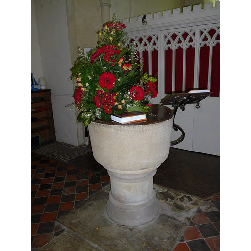
Image copyright © Basher Eyre, 2015
CC-BY-SA-2.0
Results: 3 records
view of font and cover
Scene Description: the modern font
Copyright Statement: Image copyright © Basher Eyre, 2015
Image Source: digital photograph taken 21 September 2015 by Basher Eyre [www.geograph.org.uk/photo/4754762] [accessed 12 December 2016]
Copyright Instructions: CC-BY-SA-2.0
view of church exterior - southeast view
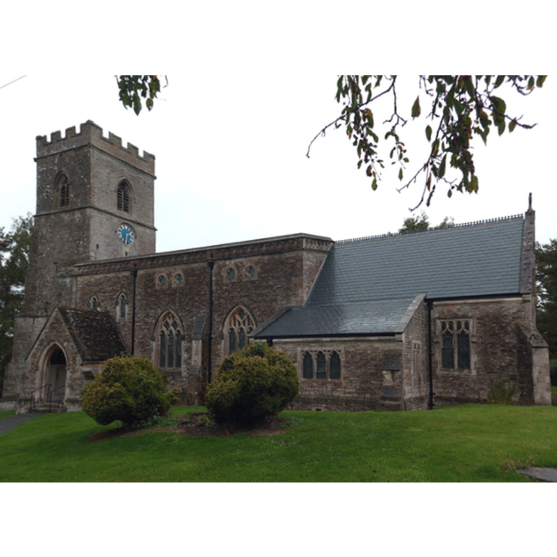
Copyright Statement: Image copyright © Basher Eyre, 2015
Image Source: digital photograph taken 21 September 2015 by Basher Eyre [www.geograph.org.uk/photo/4669722] [accessed 12 December 2016]
Copyright Instructions: CC-BY-SA-2.0
view of church interior - nave - looking west
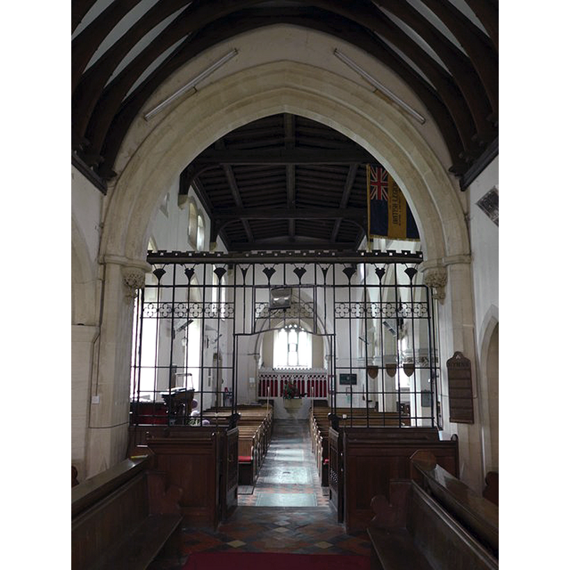
Scene Description: view of the nave and west end through the chancel arch; the modern font is visible at the far end
Copyright Statement: Image copyright © Basher Eyre, 2015
Image Source: digital photograph taken 21 September 2015 by Basher Eyre [www.geograph.org.uk/photo/4754774] [accessed 12 December 2016]
Copyright Instructions: CC-BY-SA-2.0
INFORMATION
Font ID: 14509HEY
Object Type: Baptismal Font1?
Font Century and Period/Style: 11th century, Pre-Conquest? / Norman
Church / Chapel Name: Parish Church of St. Mary
Font Location in Church: [cf. FontNotes]
Church Patron Saint(s): St. Mary the Virgin
Church Notes: original 11thC church; modified 15th and mid-19thC
Church Address: Church Walk, Upper Heyford, Oxfordshire OX6 3LQ
Site Location: Oxfordshire, South East, England, United Kingdom
Directions to Site: Located off (N) the B4030, 25-30 km N of Oxford
Ecclesiastic Region: Diocese of Oxford
Historical Region: Hundred of Hirtlington [in Domesday] -- Hundred of Ploughley
Additional Comments: disappeared font?
Font Notes:
Click to view
There are three entries for [Lower and Upper] Heyford [variant spelling] in the Domesday survey [http://opendomesday.org/place/XX0000/lower-and-upper-heyford/] [accessed 12 December 2016], none of which mentions cleric or church in it. The Victoria County History (Oxford, vol. 6, 1959) notes: "There was a church in Upper Heyford by 1074, when a grant of its tithes was made (see below). A priest is recorded in about 1180. [...] Of the medieval building only the tower remains. [...] before the 19th-century restoration it was largely of 15th-century date"; there is no font mentioned in the VCH entry for this parish. The Cherchwell Valley Benefice [http://www.cherwellvalleybenefice.org.uk] [accessed 25 April 2009] notes: "The present church, St Mary's, was largely rebuilt in the 1860s, only the medieval tower is retained." [NB: we have no information on the font of the 11th-century church here].
COORDINATES
UTM: 30U 618058 5754482
Latitude & Longitude (Decimal): 51.928531, -1.282982
Latitude & Longitude (DMS): 51° 55′ 42.71″ N, 1° 16′ 58.73″ W