Orlingbury / Ordinbaro / Ordingber / Orlebear / Orlebere / Orlingber / Orlingberge / Orlingeber

Image copyright © Burgee Von Thunen, 2010
CC-BY-SA-3.0
Results: 2 records
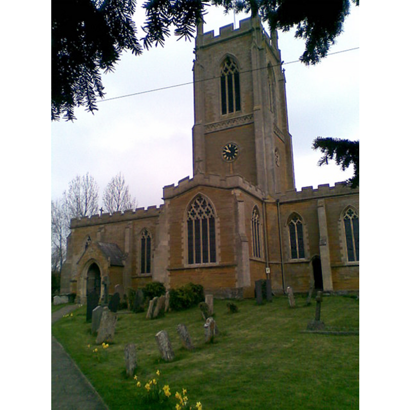
view of church exterior - southeast view
Copyright Statement: Image copyright © Burgee Von Thunen, 2010
Image Source: digital photograph taken 12 April 2010 by Burgess Von Thunen [www.geograph.org.uk/photo/1800364] [accessed 31 May 2012]
Copyright Instructions: CC-BY-SA-3.0
view of font and cover
Scene Description: the modern font
Copyright Statement: Image copyright © Dragontree, 2010
Image Source: digital photograph taken by Dragontree in 2010 [ww.waymarking.com/waymarks/WM85F3_Font_St_Marys_Church_Orlingbury_Northamptonshire_UK] [accessed 31 May 2012]
Copyright Instructions: PERMISSION NOT AVAILABLE -- IMAGE NOT FOR PUBLIC USE
INFORMATION
Font ID: 14506ORL
Object Type: Baptismal Font1
Font Century and Period/Style: 13th - 15th century [basin only?] [composite font], Medieval [composite]
Church / Chapel Name: Parish Church of St. Mary
Font Location in Church: Inside the church, in the S transept -- not its original location [cf. FontNotes]
Church Patron Saint(s): St. Mary the Virgin
Church Address: Pytchley Road, Orlingbury, Northamptonshire NN14 1JA
Site Location: Northamptonshire, East Midlands, England, United Kingdom
Directions to Site: Located off (W) the A509, 4 km SW of Isham, 6 km NNW of Wellingborough
Ecclesiastic Region: Diocese of Peterborough
Historical Region: Hundred of Orlingbury
Additional Comments: disused font / damaged font: weathered
Font Notes:
Click to view
The Victoria County History (Northampton, vol. 4, 1937) notes: "The church of St. Mary was entirely rebuilt in 1843 on a new plan [...] The old church, according to Bridges, consisted of chancel, nave, north cross-aisle, and west tower and spire, [...] but no adequate record of it has been preserved. [...] The font now used is modern, but the bowl of an ancient one, much weathered, is in the south transept. It is roughly octagonal, but quite plain."
COORDINATES
UTM: 30U 653958 5801538
Latitude & Longitude (Decimal): 52.342504, -0.739937
Latitude & Longitude (DMS): 52° 20′ 33.01″ N, 0° 44′ 23.77″ W
MEDIUM AND MEASUREMENTS
Material: stone
Font Shape: octagonal
Basin Exterior Shape: octagonal
REFERENCES
- Victoria County History [online], University of London, 1993-. URL: https://www.british-history.ac.uk.
