Lamport / Lamport with Hanging Houghton / Langeport
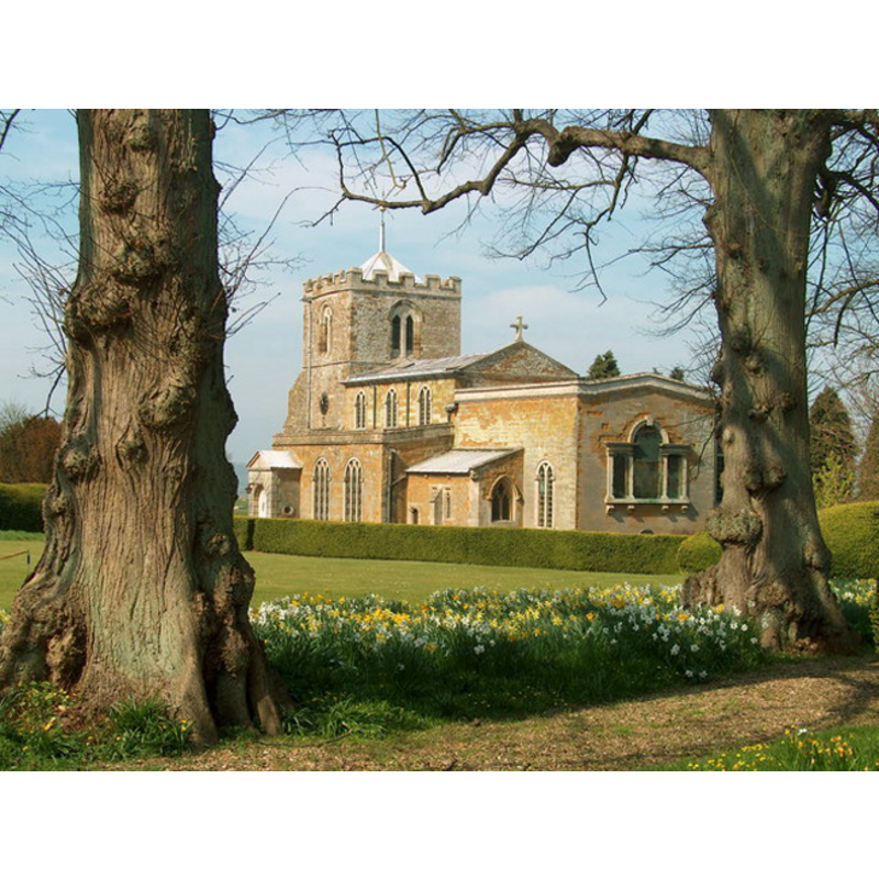
Image copyright © Chris Eaton, 2007
CC-BY-SA-3.0
Results: 1 records
view of church exterior - southeast view
Copyright Statement: Image copyright © Chris Eaton, 2007
Image Source: digital photograph taken 8 April 2007 by Chris Eaton [www.geograph.org.uk/photo/411186] [accessed 31 May 2012]
Copyright Instructions: CC-BY-SA-3.0
INFORMATION
Font ID: 14472LAM
Object Type: Baptismal Font1?
Font Century and Period/Style: 12th - 13th century, Medieval
Church / Chapel Name: Parish Church of All Saints
Church Patron Saint(s): All Saints
Church Notes: the hamlet of Hanging Houton appears not to have had a separate church, evern though it appears with four entries totaling 30 households in the Domesday survey [http://domesdaymap.co.uk/place/SP7573/hanging-houghton/] [accessed 12 December 2013]
Church Address: High Street, Lamport, Northamptonshire NN6 9HB
Site Location: Northamptonshire, East Midlands, England, United Kingdom
Directions to Site: Located 14-15 km N of Northampton
Ecclesiastic Region: Diocese of Peterborough
Historical Region: Hundred of Orlingbury [Hundred of Mawsley?]
Additional Comments: disappeared font? (the one from the 12thC+ church)
Font Notes:
Click to view
The Victoria County History (Northampton, vol. 4, 1937) notes: "Two small round-headed windows in the tower, widely splayed inside, suggest that in its two lower stages this is of 12th-century date, but in the main the fabric belongs to the 13th century [...] The font is modern and has a spire cover of oak designed by Mr. Bodley [George Frederick Bodley (1827-1907), Victorian architect who specialised -though not exclusively- on ecclesiastical building design and renovation -- cf. Oxford Dictionary of National Biography].." The VCH (ibid.) further notes that the baptismal registers in this parish start in 1587. The Victorian font and cover are noted in Pevsner & Cherry (1973): "Font and font cover, tall, designed by Bodley, 1869." [NB: we do not have any information on the font of medieval church]. The VCH (ibid.) notes that Hanging Houghton, which appears in the Domesday Survey as Houghton, hamlet of Lamport, had a chapel as early as 1269, but we have no information whether sacraments were administred there or not. [NB: we have not been able to locate any trace of that medieval chapel in Hanging Houghton].
COORDINATES
UTM: 30U 643787 5803548
Latitude & Longitude (Decimal): 52.363322, -0.888262
Latitude & Longitude (DMS): 52° 21′ 47.96″ N, 0° 53′ 17.74″ W
LID INFORMATION
Date: ca. 1896
Material: wood
Notes: [cf. FontNotes]
REFERENCES
- Victoria County History [online], University of London, 1993-. URL: https://www.british-history.ac.uk.
- Pevsner, Nikolaus, Northamptonshire, Harmondsworth: Penguin Books, 1973, p. 285