Knaptoft / Cnapetoft / Cnapetot
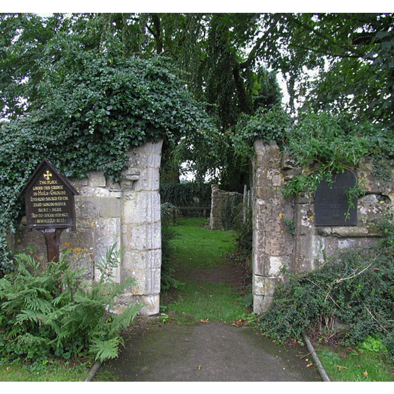
Image copyright © Andrew Tatlow, 2006
CC-BY-SA-2.0
Results: 7 records
view of church exterior - south portal
Copyright Statement: Image copyright © Andrew Tatlow, 2006
Image Source: digital photograph taken 22 August 2006 by Andrew Tatlow [www.geograph.org.uk/photo/224693] [accessed 17 August 2015]
Copyright Instructions: CC-BY-SA-2.0
view of church exterior - north portal
![Source caption: "Knaptoft-Ruined Church. The Church of Saint Nicholas is now roofless but still contains headstones and the stone font. It is thought to have been sacked and destroyed by Oliver Cromwell's Roundhead forces after the Battle of Naseby in June 1645 whilst in pursuit of the fleeing defeated Royalist army. Certainly a skirmish occurred here, confirmed by archaeological finds. [...] Church services are still held at the church at 3pm on the third Sunday of June, July, August & September."](/static-50478a99ec6f36a15d6234548c59f63da52304e5/compressed/1150925021_compressed.png)
Scene Description: Source caption: "Knaptoft-Ruined Church. The Church of Saint Nicholas is now roofless but still contains headstones and the stone font. It is thought to have been sacked and destroyed by Oliver Cromwell's Roundhead forces after the Battle of Naseby in June 1645 whilst in pursuit of the fleeing defeated Royalist army. Certainly a skirmish occurred here, confirmed by archaeological finds. [...] Church services are still held at the church at 3pm on the third Sunday of June, July, August & September."
Copyright Statement: Image copyright © Ian Rob, 2012
Image Source: digital photograph taken 21 January 2012 by Ian Rob [www.geograph.org.uk/photo/2773351] [accessed 17 August 2015]
Copyright Instructions: CC-BY-SA-2.0
view of object
![[cf. Font notes]](/static-50478a99ec6f36a15d6234548c59f63da52304e5/compressed/1150925024_compressed.png)
Scene Description: [cf. Font notes]
Copyright Statement: Image copyright © Andrew Tatlow, 2006
Image Source: digital photograph taken 22 August 2006 by Andrew Tatlow [www.geograph.org.uk/photo/224694] [accessed 17 August 2015]
Copyright Instructions: CC-BY-SA-2.0
view of object
Scene Description: [NB: although captioned in the source as "The Font", it is obviously not one, but a large decorative urn]
Copyright Statement: Image copyright © Andrew Tatlow, 2006
Image Source: digital photograph taken 22 August 2006 by Andrew Tatlow [www.geograph.org.uk/photo/224694] [accessed 17 August 2015]
Copyright Instructions: CC-BY-SA-2.0
information
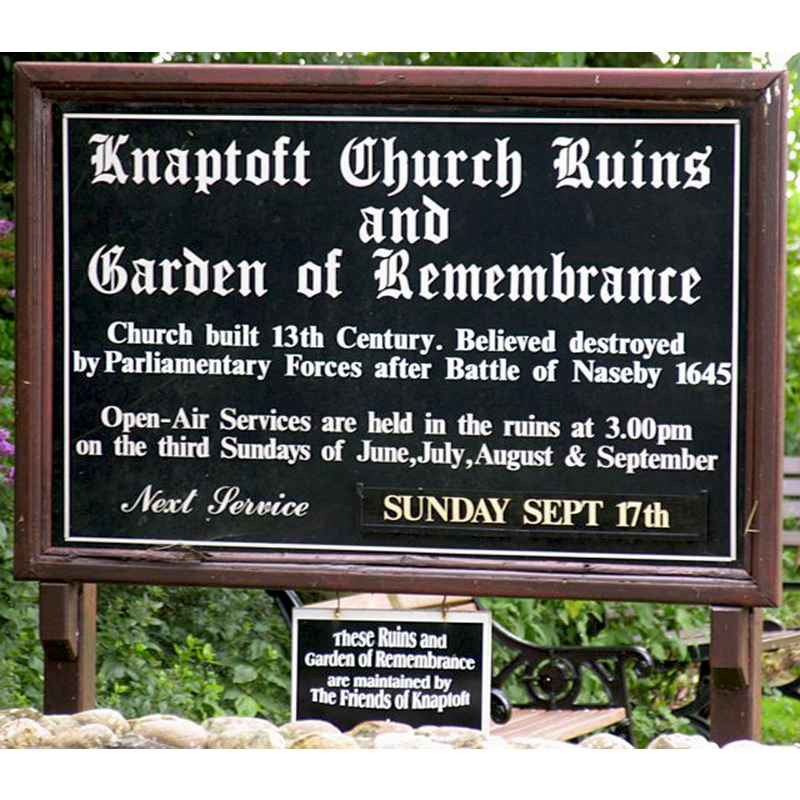
Copyright Statement: Image copyright © Andrew Tatlow, 2006
Image Source: digital photograph taken 22 August 2006 by Andrew Tatlow [www.geograph.org.uk/photo/224699] [accessed 17 August 2015]
Copyright Instructions: CC-BY-SA-2.0
view of object in context
![[cf. Font notes]](/static-50478a99ec6f36a15d6234548c59f63da52304e5/others/permission_not_available.jpg)
Scene Description: [cf. Font notes]
Copyright Statement: Image copyright © STU@, 2008
Image Source: digital photograph taken 7 September 2008 by STU@ [http://www.flickr.com/photos/11734496@N04/2870791332/] [accessed 17 April 2009]
Copyright Instructions: PERMISSION NOT AVAILABLE -- IMAGE NOT FOR PUBLIC USE
view of object in context
Copyright Statement: Image copyright © Stephen Butt, 2005
Image Source: digital photograph (1995?) by Stephen Butt [http://www.leicesterchronicler.com/knaptoft.htm] [accessed 17 April 2009]
Copyright Instructions: PERMISSION NOT AVAILABLE -- IMAGE NOT FOR PUBLIC USE
INFORMATION
Font ID: 14466KNA
Object Type: Baptismal Font1?
Font Century and Period/Style: 11th century, Pre-Conquest? / Norman
Church / Chapel Name: Parish Church of St. Nicholas [in ruins]
Font Location in Church: [cf. FontNotes]
Church Patron Saint(s): St. Nicholas of Myra
Church Address: Knaptoft, Leicestershire LE17 6PA
Site Location: Leicestershire, East Midlands, England, United Kingdom
Directions to Site: Located off (W) the A5199 [A50], near Husbands Bosworth, between Shearsby and Bruntingthorpe.
Ecclesiastic Region: Diocese of Leicester
Historical Region: Hundred of Guthlaxton
Additional Comments: disappeared font? (the one from the Domesday-time church here)
Font Notes:
Click to view
There is an entry for Knaptoft [variant spelling] in the Domesday survey [http://opendomesday.org/place/SP6289/knaptoft/] [accessed 17 August 2015]; it mentions a priest, but not a church in it, though there probably was one here. The entry for Knaptoft in the Leicester Chronicler (2005) [http://www.leicesterchronicler.com/knaptoft.htm] [accessed 15 April 2009] describes the ruined remains of the old church: "It is said that the small church of St Nicolas, already without its former parish and parishioners, was destroyed by Cromwellian forces after the Battle of Naseby on 16 June 1645 […] in the church ruins at Knaptoft […] The original urn-shaped font is still standing in the former chancel." The entry is accompanied by an illustration of a stone urn, but the object resembles a decorative urn, not a font [notwithstanding the possibility that it may have been used as a font at some point, however unlikely]. There must have been a medieval font in this church but this urn is not it.
COORDINATES
UTM: 30U 630279 5818365
Latitude & Longitude (Decimal): 52.499831, -1.080749
Latitude & Longitude (DMS): 52° 29′ 59.39″ N, 1° 4′ 50.69″ W